Solavågsfjellet from Porsen
Sula
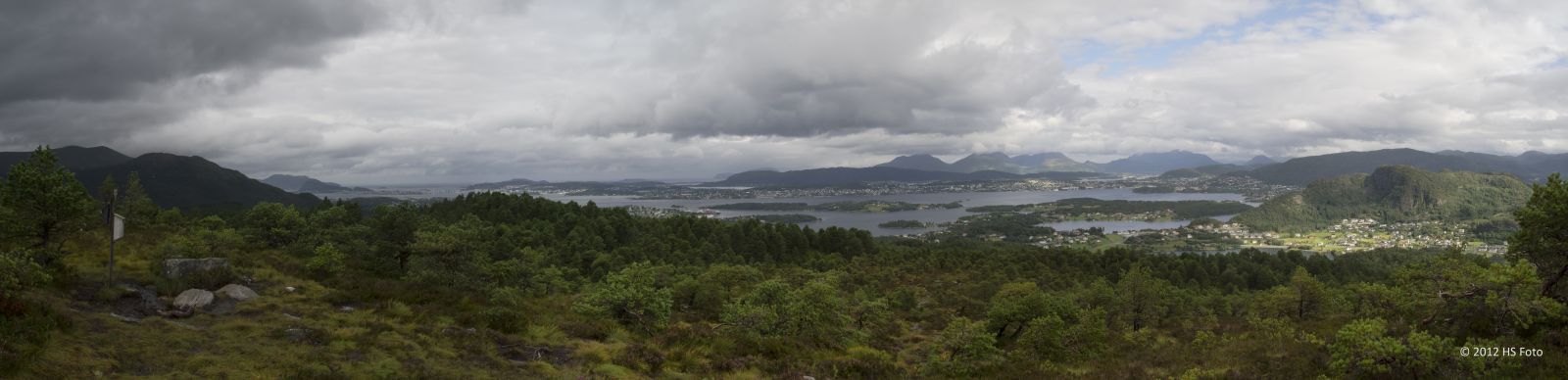
The trail to Trollhaugen/Solavågsfjellet (263 m a.s.l.) follows a clearly defined but somewhat wet and occasionally steep path. The mountaintop offers a fantastic view in all directions.
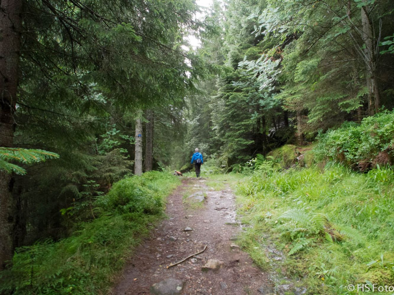
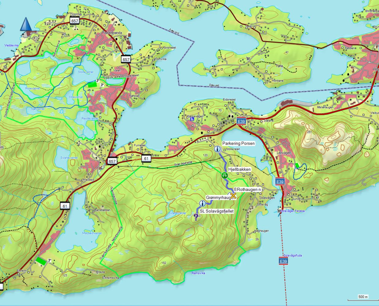
You will follow a cart track / tractor road for the first kilometre. Here, it is also possible to cycle or push a pram (with large wheels). The road later changes to a clear and well-marked path. When you walk past Grønmyrhaugen after about 1.5 kilometres, take a moment to enjoy the view. From here, the distance to the peak is about 400 metres.
Park your car by Solavågsvegen Road at the starting point of the trail. No parking fee.
Duration
2 t. 30 min.

Sesong
Winter, Spring, Summer, Autumn
Signage
Both signed and marked
| Surface type |
Distance |
| Sti |
1,1 |
You can take a bus to the Sunde ferry terminal, walk a short distance back, and continue up Pebakken Road. When you reach the junction at the top, turn right and follow Solavågsvegen Road for about 900 metres until you reach the starting point of the trail on the left side of the road. If you take public transport, the trail will be about 1.7 kilometres longer each way.
Alternatively, you can take a bus to Solavågseidet and walk from there. The distance to and from the starting point is 400–500 metres each way.
Solevågsfjellet is a nature reserve, which is the strictest standard for nature protection according to Norwegian law.
10076 Hiking map of Ålesund, Norge map series
 Driving directions
 Route data
GeoJSON