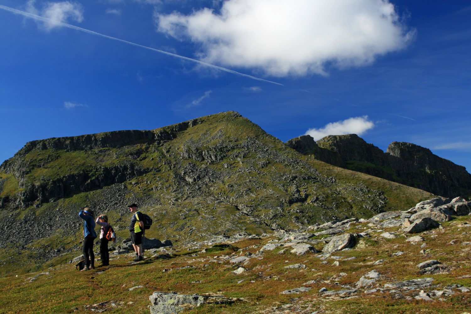
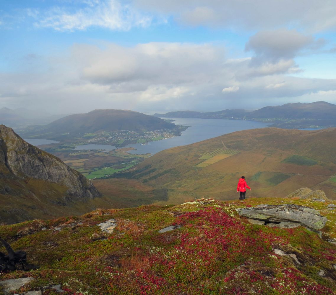
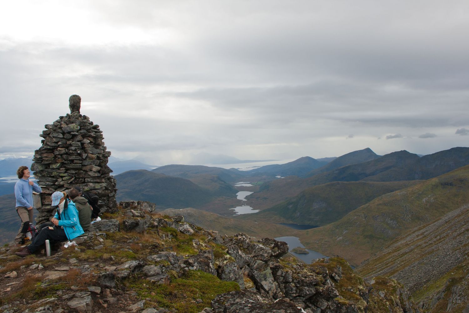
Snøtind is the highest mountain top in Outer Nordmøre. Starting from Ugelstadsetra mountain farm, this trail will reward you with a fantastic view of the ocean. At the same time you will see an entire mountain range in the south from the Romsdal Alps to Mount Sunndalsfjella, as well as parts of Trollheimen.
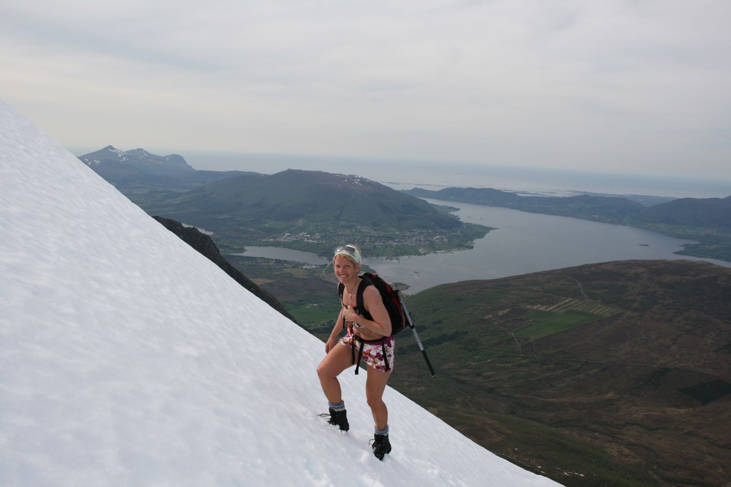
Walk straight through the birch forest from the car park by Ugelstadsetra farm before the path starts drifting to the right and follow the ridge up to the top of Gongrøyra. Here you will walk downhill for a little while and then go through the final steep section up towards the top of Snøtind. Early in the summer season there might be some snow covering the part of the mountain closest to the top, which can be challenging if there is a hard snow crust on the surface.You will be following a well developed path all the way up to the top, so it will be easy to find your way up.
If you are driving from the centre of Eide, turn off National Road 64 (Rv64) at the first junction taking the left turn towards Høgset and follow County Road 279 (Fv279). If you are coming from the direction of Molde, take the turn to the right at the first junction after the Sjelvik car service. After about 1 km turn right towards Ugelstad onto County Road 278 (Fv278). After about 100 m turn left and continue up the Ugelstadvegen road. Right before you cross the river follow the road as it swings left and up towards Ugelstadsetra farm. The Stikk UT!-sign is set up at the beginning of the road to the farm. You will have to pay a toll fee of 30 NOK if you want to drive up this road by car. If you would like to walk up the toll road, you can drive over the bridge and park your car at the meeting point. The distance to the car parks for the trails to Seterfjellet, Skarvan and Snøtinden is 2.5 and 3.1 km, respectively. In this case bear in mind that your hike will be at least 40–50 minutes longer as you will be walking into the valley.
Ugelstadsetra
Duration
3 t. 30 min.

Signage
Both signed and marked
| Surface type |
Distance |
| Sti |
7 |
Tourist map Kristiansund or 1320 IV Eide
 Driving directions
 Route data
GeoJSON