Smisetnebba 1175 m a.s.l.
Tingvoll
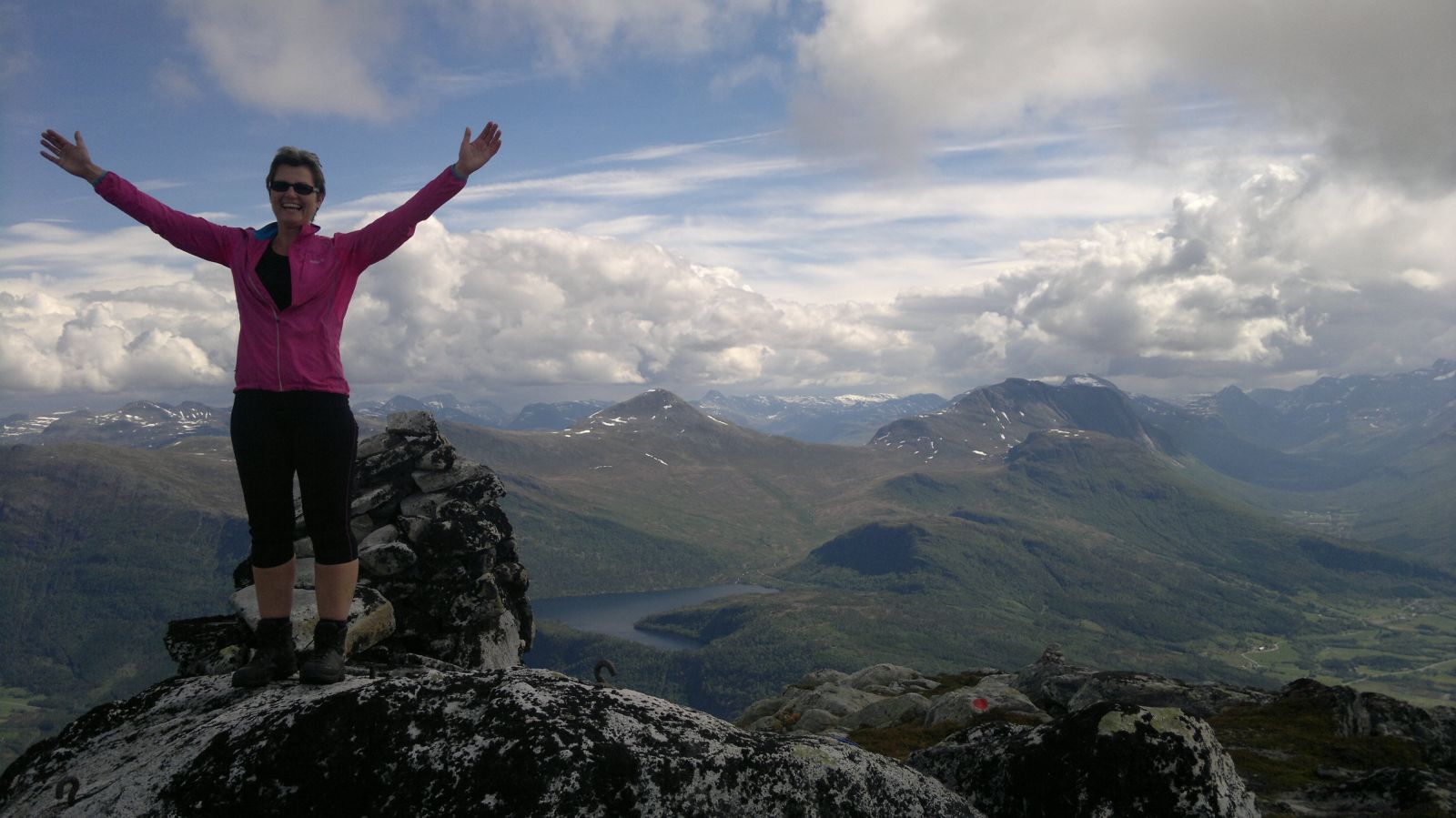
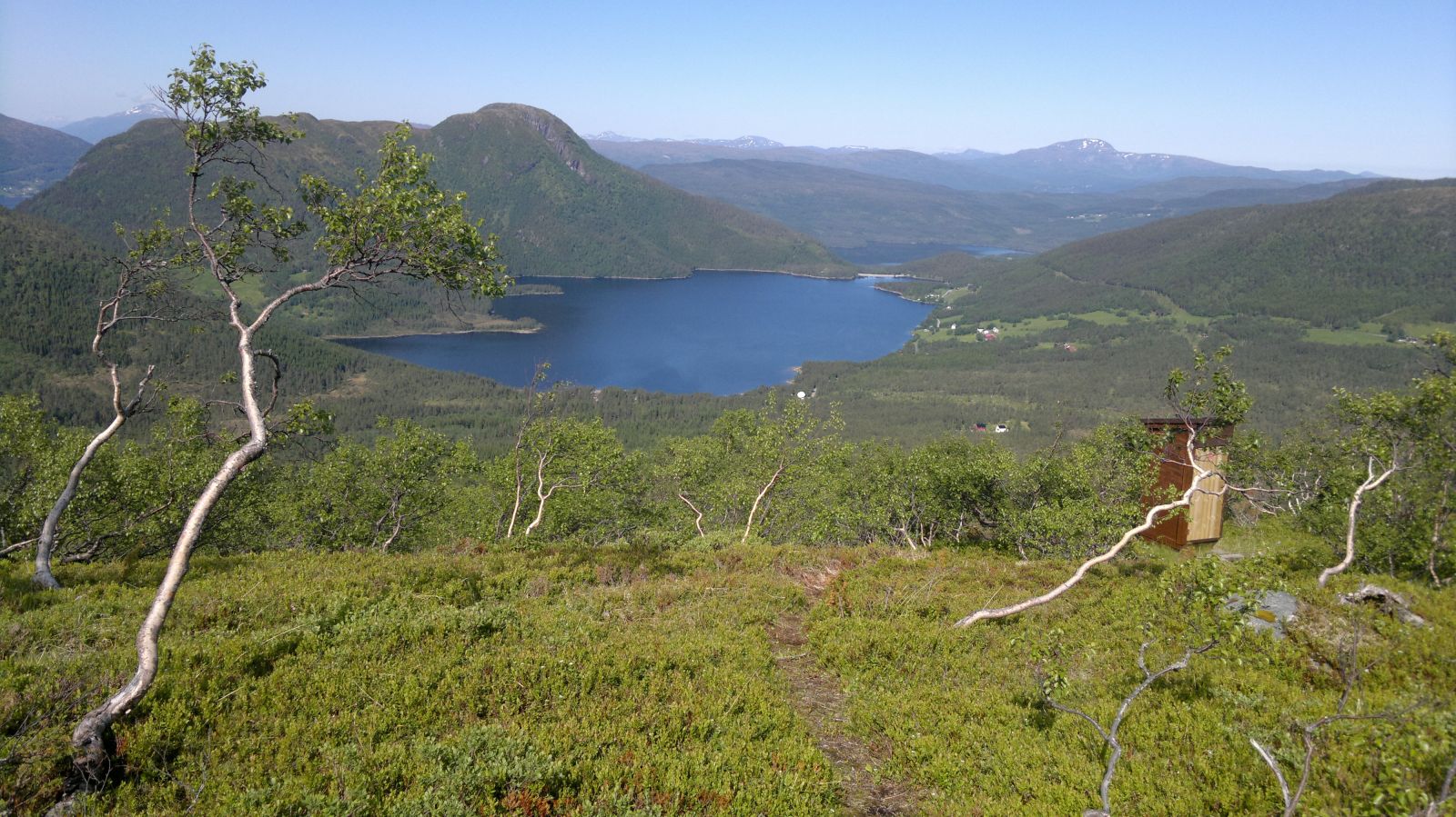
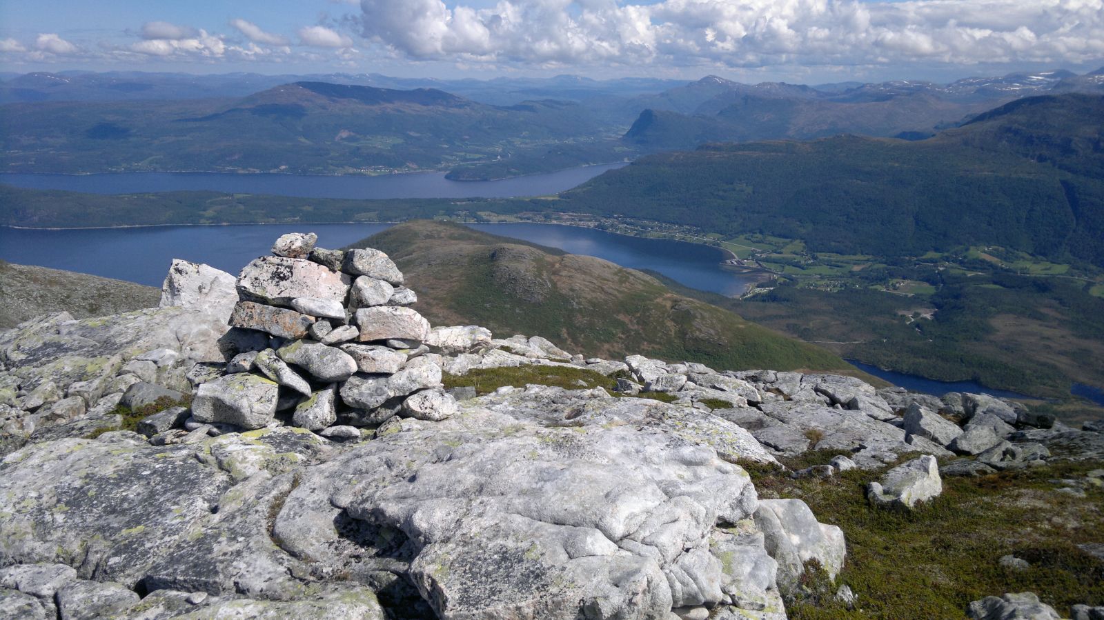
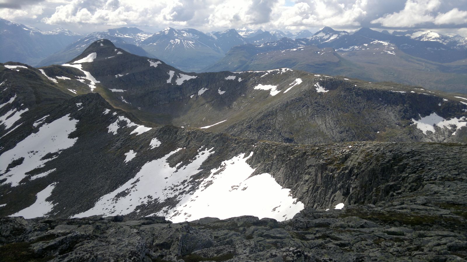
Smisetnebba is the highest mountain top in Tingvoll Municipality. Remember that weather conditions can change very rapidly, and the fog can quickly form even on a clear day. The path can quickly disappear from your view. Please bring a map and a compass or a GPS device. The path needs new and better marking which will be done over time. After about half an hour, you will come up to Kvilhaugen Hill with a bench and a fantastic view towards Havstadvatnet Lake. It is well worth a detour of 100 metres. Once you come up Kaldbaken Hill, you will walk along the mountain edge with a great view of both Ålvundfjorden and Tingvoll Municipality. You will walk along a steep slope towards Ålvundfjorden which certainly helps to enhance the experience of this hike. The ridge of the mountain is wide, and there is no need to walk close to the edge.Once you reach the top, you will get a proper high mountain feeling. A fantastic view of the Innerdalen Valley and Mount Flånebba is similar to the Jotunheimen terrain. The destination of this trail is the cairn at the top of Mount Smisetnebba at 1175 m a.s.l.
The trail starts at the boom gate of the toll road to Lake Myravatnet. Walk for about 800 metres until you see a cart track to the right with a sign for Kvilhaugen. Follow the path until you come across the signage for Smisetnebba and Kvilhaugen. We recommend walking through Kvilhaugen Hill to enjoy the view and take the first break before the climbing up Nonshaugen Hill begins. The path uphill is poorly marked, but you need to keep to the right of the stream until you reach a small plateau where it flattens out slightly. Cross the stream here and take a sharp left turn towards the ridge of Nonshaugen. The path here is drier compared to the valley. Walk all the way up the mountain gap until you reach Kaldbaken. There are large boulders here, and you will have to climb across the scree on your way up. Once you come up, it will flatten out slightly as you pass Dauen and before another little climb up to Indre Nonshaugen. It is easy to walk from from Kaldbaken to the top itself, and there is a path that follows the edge of the steep slope. A fantastic panoramic view is waiting for you at the top.
Turn off National Road 70 (Rv 70) near the petrol station in Meisingset and follow the sign to Rotås. Drive for about 3 km and turn left towards Lake Hafstadvannet. Drive along Hafstadvatnet until you see a trail sign and a car park. The car park is on the side of the road opposite to the boom gate to Myravatnveien Road.
You can park your car near Lake Hafstadvatnet on the side of the road opposite to the boom gate to Lake Myravatnet.
Coordinates of the car park: 62.82.147 008.36.056
Duration
6 t. 0 min

Sesong
Spring, Summer, Autumn
| Surface type |
Distance |
| Sti |
9,4 |
The trail covers wild terrain and is not recommended in bad weather. The fog can quickly form in the mountains, and the waymarking is not ideal, so we recommend bringing a map and a compass or a GPS device.
1420 IV Stangvik 1:50 000 and Tingvoll tourist map 1:50 000
 Driving directions
 Route data
GeoJSON