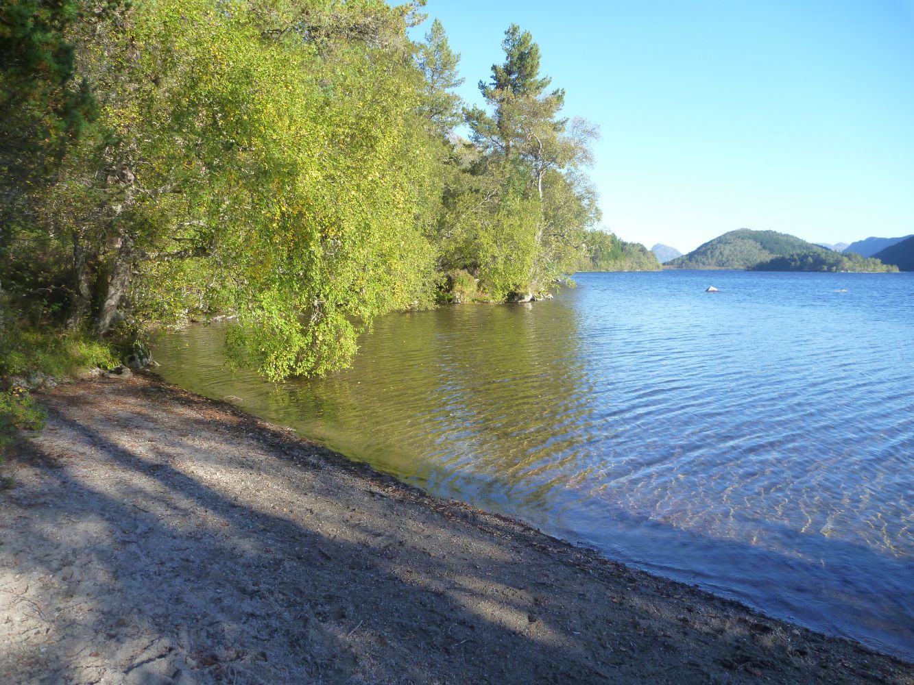
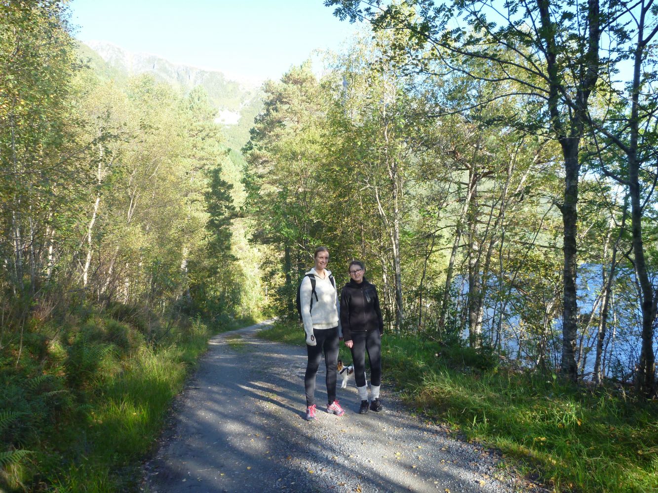
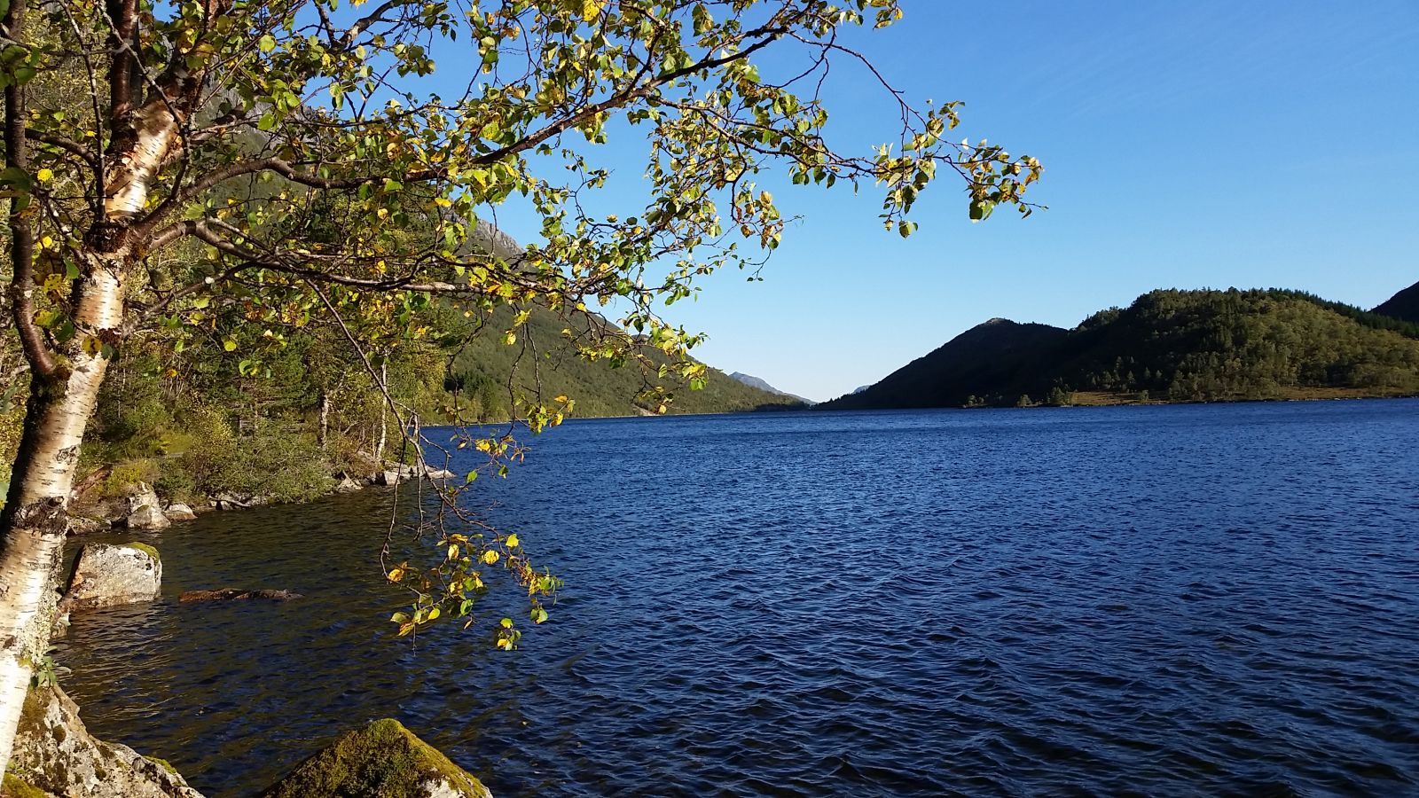
This lovely gravel road takes you through moderate terrain along the lake with nice and small swimming areas. Sætra is a perfect place to spend time by the fire and then turn back to the starting point. The trail is also suitable for baby carriages and bicycles.
Route description
You can park your car by the bridge along the main road in Slyngstad. There are parking spaces on both sides of the main road. If you have a baby carriage or a bicycle, it is also possible to drive up the steep hill at the start of the trail until you reach a small car park on the hilltop.Follow the gravel road along Lake Slyngstadvatnet and its other part called Fannevatnet. This is a long lake with two different names for its southern and northern parts.You will find several small beaches and swimming areas along the lake. In Sætra there are benches and a designated place for the fire.
Start walking from the car park by the bridge in Slyngstad. Follow the same way back.
Access and parking
The trail starts from the bridge along National Road 659 in Slyngstad.

 Driving directions
 Route data