Slokevatnet, Kyrkjevegen
Sande
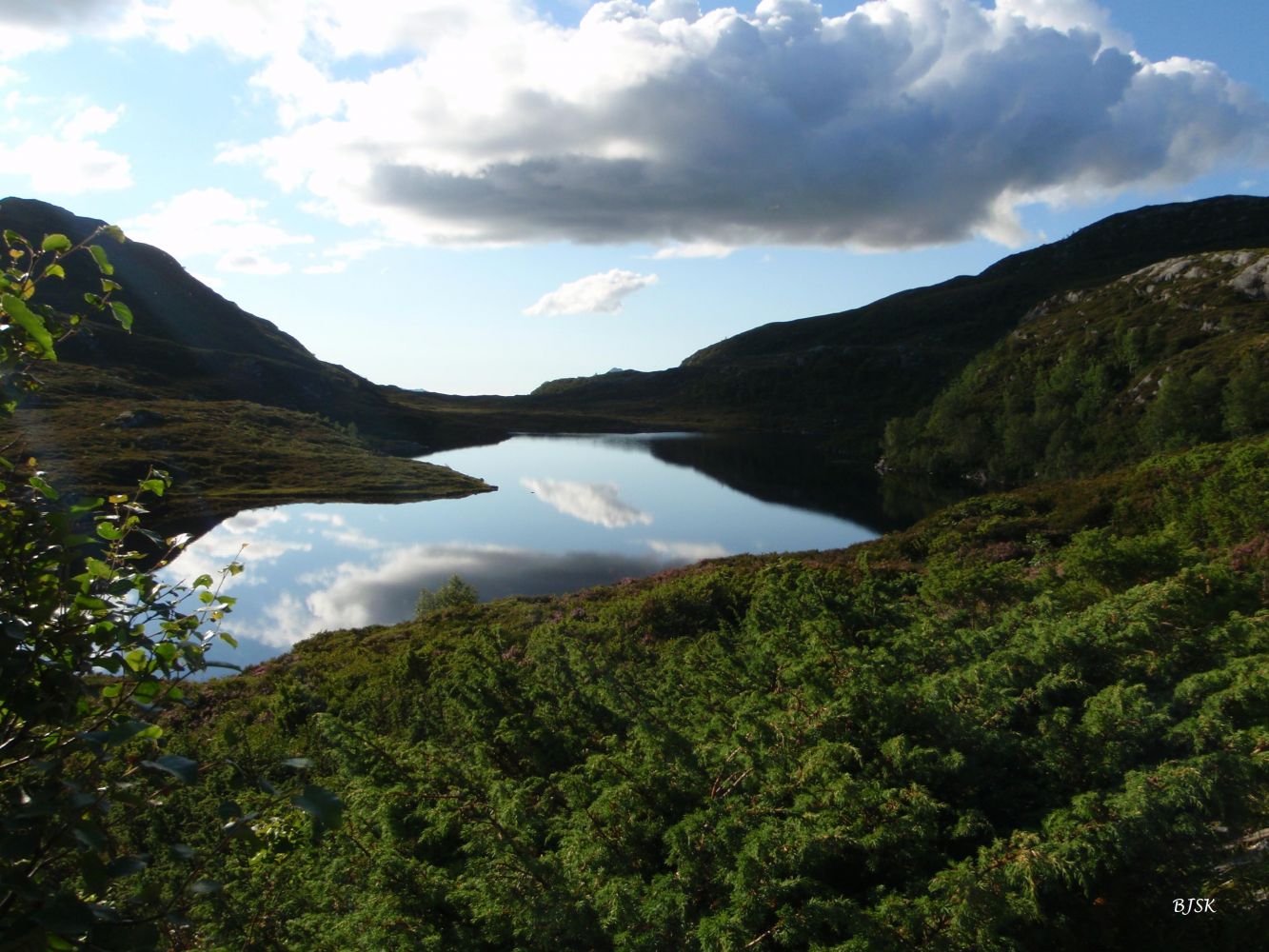
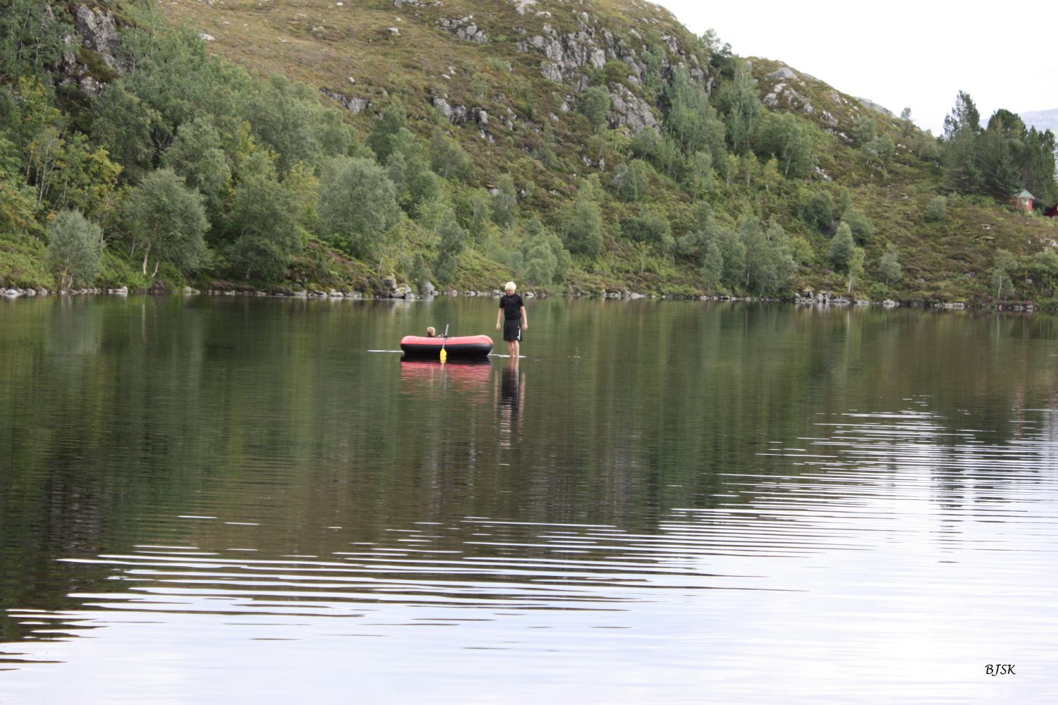
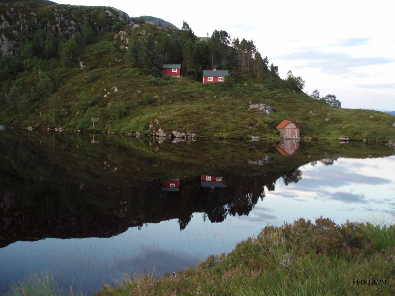
Lake Slokevatnet is a great hiking destination where you can both swim and play with children. You can also use the barbecue place by the lake. Parts of the trail follow the old Kyrkjevegen Road where you can stop by a small cave.
From Almestad: the trail begins on the east side of the gravel pit, continues through the forest, runs over the river and marshes, and climbs up Kyrkjevegen Road. Please see the pictures from the description of the trail to Vasshornet. Once you have passed the steep rocky slopes at the top of Kyrkjevegen, turn right at the sign for Vasshornet/Slokevatnet. There is a small cave behind a large rock about 80 m above the sign if you walk in the direction of Vasshornet. The entrance to the cave is on the east side of the rock. (Please check the description of the trail to Vasshornet.) From the sign, continue walking over a marshy area, on the north side of Lake Tødenesvatnet, and over another marshy area until you reach Lake Slokevatnet.
From Tødeneset: the path starts from the garage and climbs steeply up through the forest. Walk over the rocks after you come out of the forest. The path comes up to the lake at its southeast end. Here, you will get a scenic view of the Rovdefjord and the mountains of Rovde.
The path is well marked and signposted.
From Almestad: turn off County Road 61 (FV61) about 100 m east of the 60 km/h speed zone sign in Almestad. Drive down a tractor road to a gravel pit and park your car there.
From Tødeneset: turn off FV61 at the Årvik ferry terminal and drive east for about 4 km until you reach Tødeneset. You will see a garage on the north side of the road next to the last house in the village. This is where the path starts. There is a small private car park here. The most convenient place to leave your car is the Frey car park (Freyparkeringsplassen) in Oksavika (you will have to walk 900 m to the starting point of the trail). There is also a side lane before Tødeneset where you can park. The distance to the starting point from there is 300 m.
Duration
2 t. 0 min

Sesong
Spring, Summer, Autumn
Signage
Both signed and marked
| Surface type |
Distance |
| Sti |
3 |
If you have the opportunity to do so, you can walk all the way from Almestad to Tødeneset (or vice versa). For example, if you are two families, one group can start walking from Almestad and the other from Tødeneset. You will then meet at Lake Slokevatnet and go down on the opposite side of the mountain. In this case, you will walk the entire Kyrkjevegen Road.
The length of the trail from Almestad to Tødeneset is 2.9 km, from Almestad to Lake Slokevatnet 1.7 km, and from Tødeneset to Lake Slokevatnet about 0.9 km.
Hiking map of Ytre Søre Sunnmøre, M711 1119 III Vanylven, Sunnmorskart.no
 Driving directions
 Route data
GeoJSON