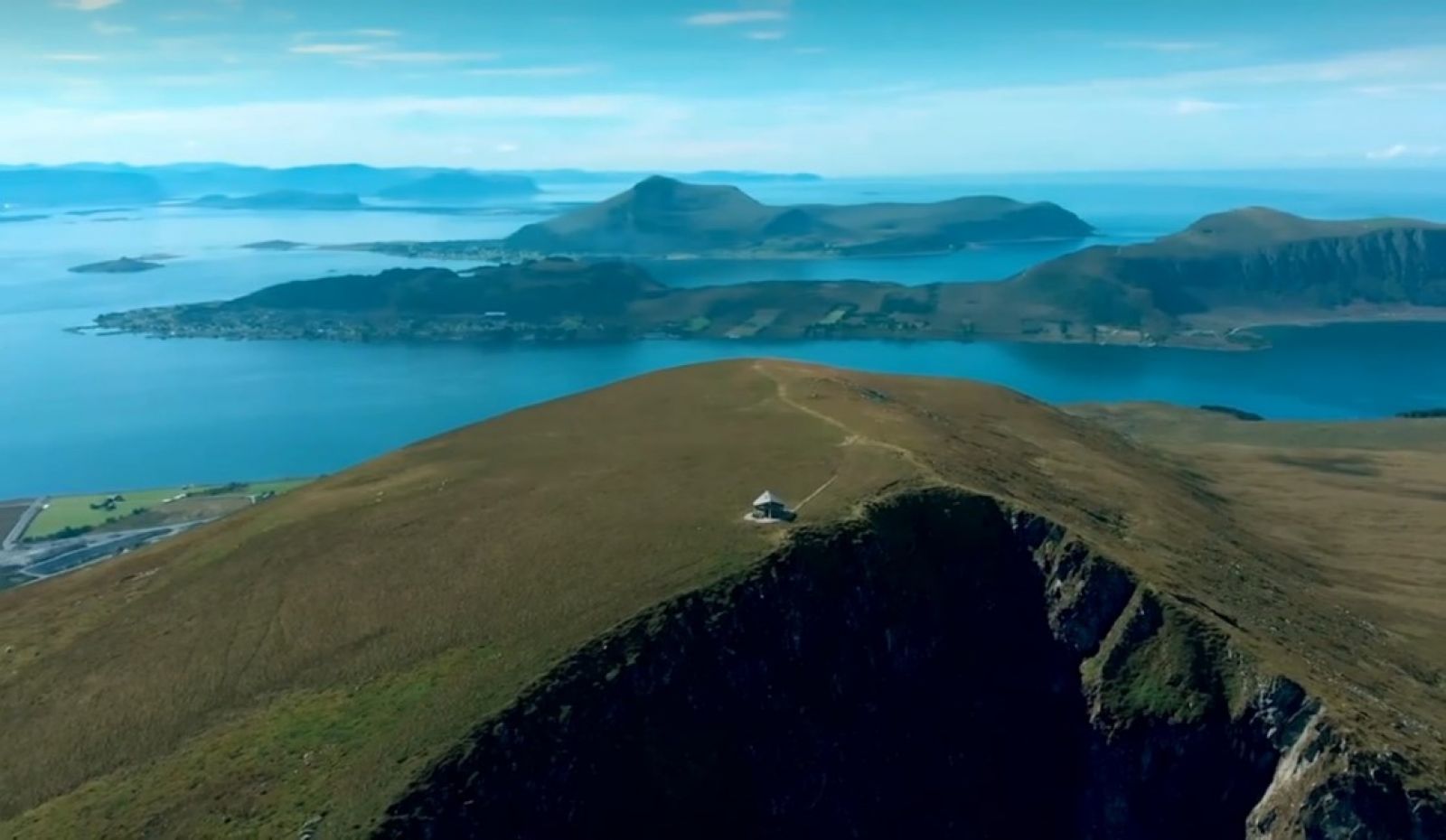
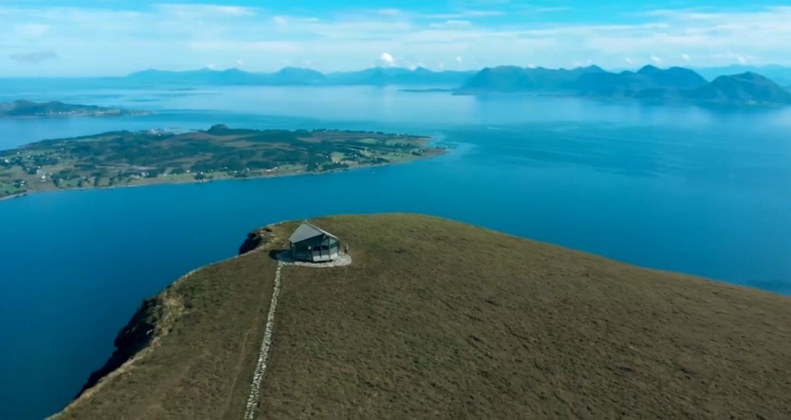
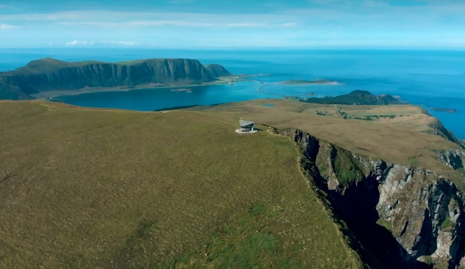
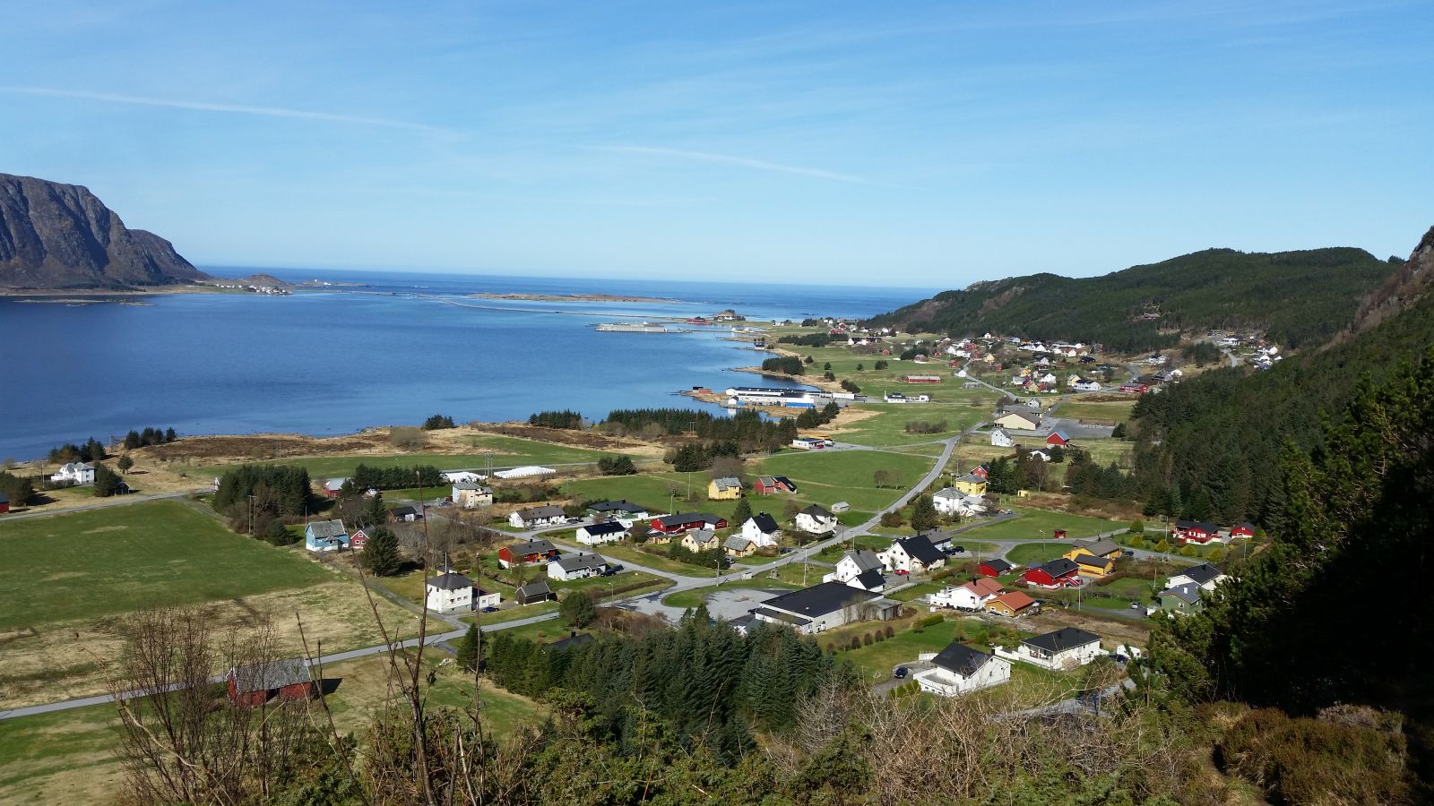
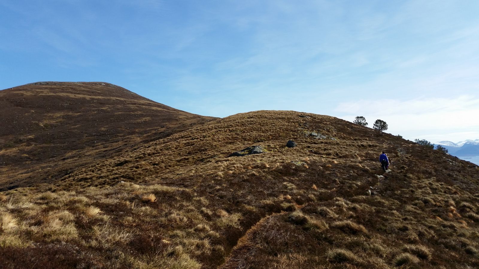
This is a beautiful mountain trail with great views in all directions.Both the ocean in the horizon and the mountain rages on the mainland are visible from the top.
Route description
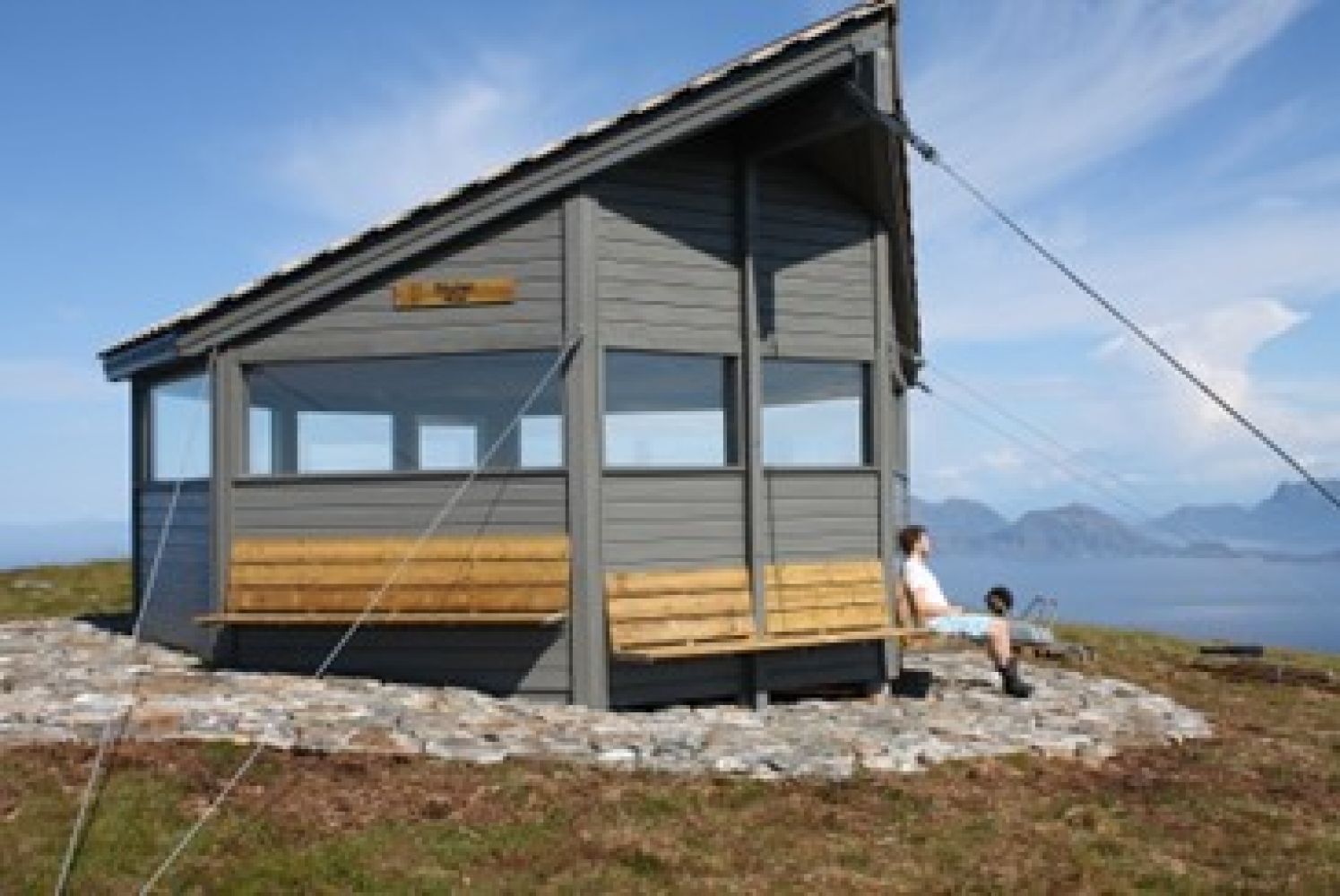
Mount Skulen is the highest point on the island of Flemsøy / Skuløy.Walk up from the Kvernhuselva river and follow the path as it climbs up to the top of the river. You will find a trail postbox there. There is also a sign to Skulen and Stølshaugane there. There are several paths that lead up to Mount Skulen, but in this description we have chosen the one that goes towards the Stølshaugane hill. This well-defined path goes across a marshy area and can be partially wet. You will get a great view along the entire trail up to Skulen. Another postbox is located on the Stølshaugane hill along with a new sign pointing to Skulen. Follow the path to the top from here. You will find the Stikk Ut trail postbox at the top. Follow the same way back down to the shop. The trail via Tverreidet and past Flemsdemma is not recommended by the Environmental Protection Department of the County Governor Administration because of major deterioration of the protected marshy area.
Access and parking
To get to Longva, take a ferry from Skjeltene to Austnes on the island of Haramsøy.
As you are driving or cycling from the ferry terminal, take the turn to the right and follow the road straight ahead and over the Ulla Bridge. Take the turn to the right at the junction after the bridge and continue driving until the road splits. Turn left and look for the shop on your left-hand side.
In front of Coop Marked in Longva.
Hiking route
Blue
Elevation
467 m
Duration
2 t. 35 min.
Sesong
Winter, Spring, Summer, Autumn
Highest Point
492 masl
Signage
Both signed and marked
Map route
Public transport
You can take a ferry from Skjeltene or an express boat from Ålesund (Nordøyruta route) and drive or cycle from Austnes.
Please check the timetable at norled.no.

 Driving directions
 Route data