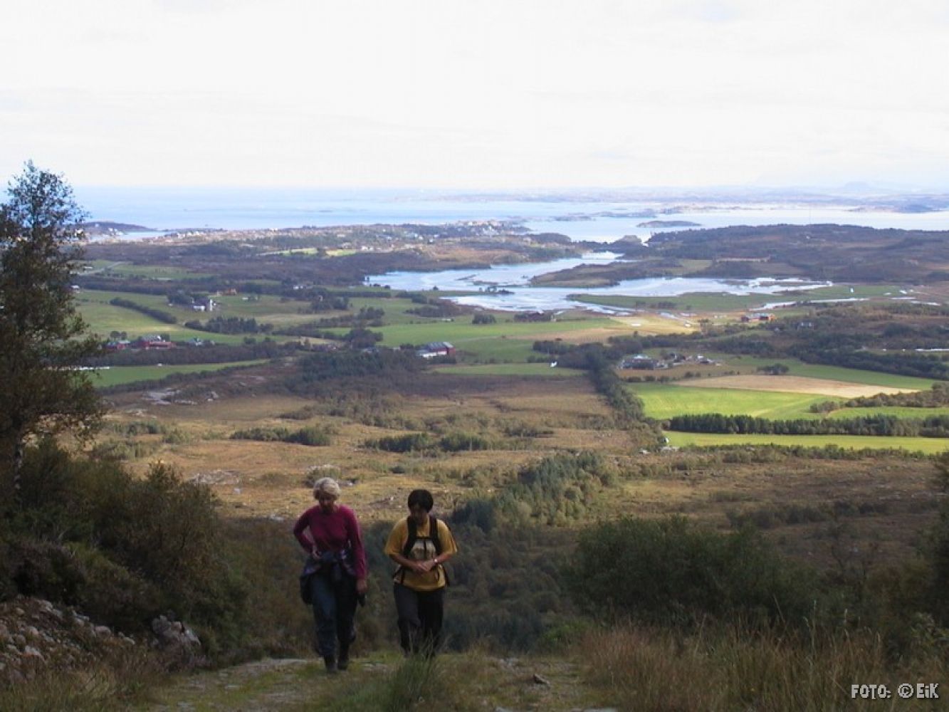
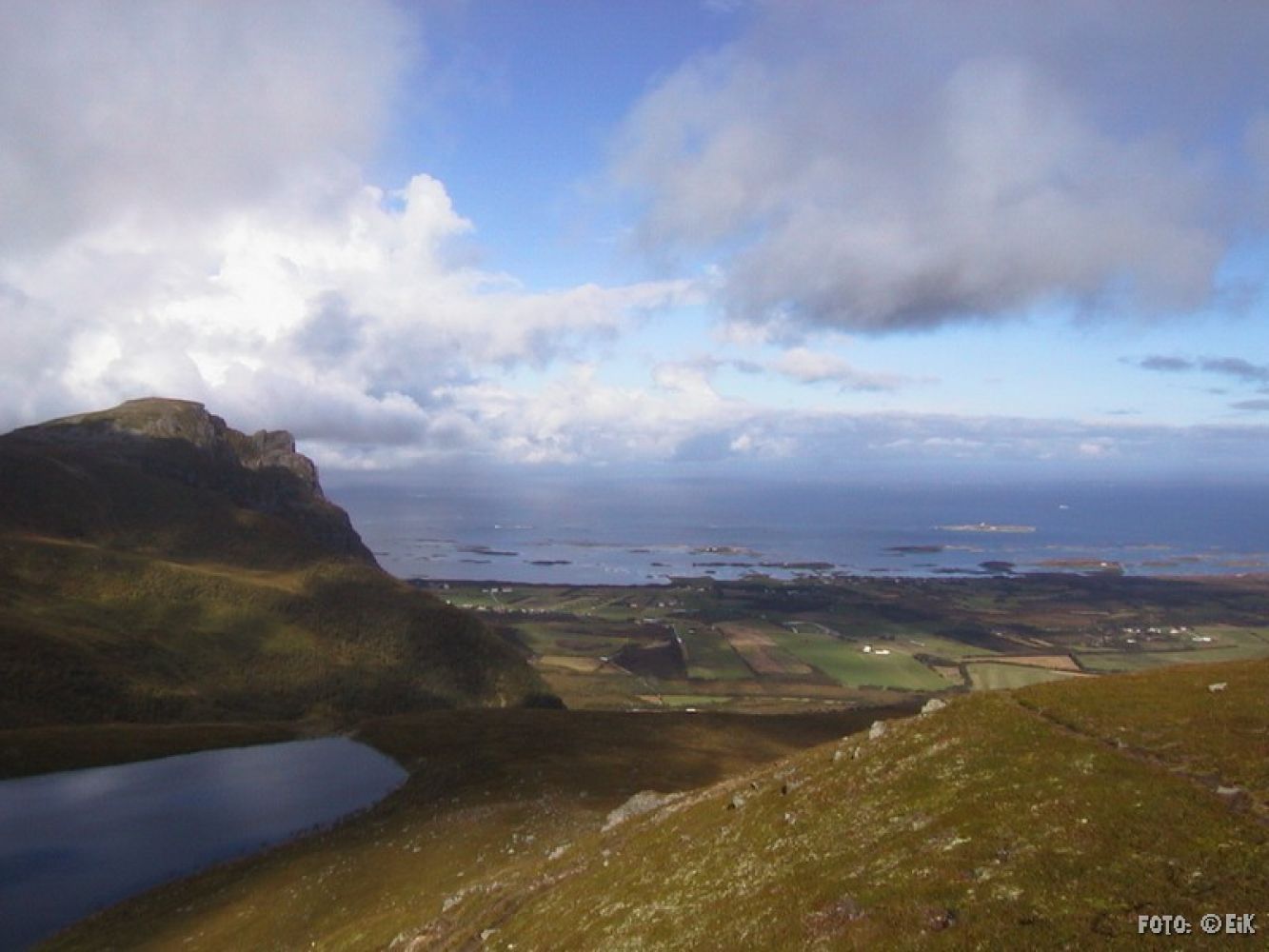
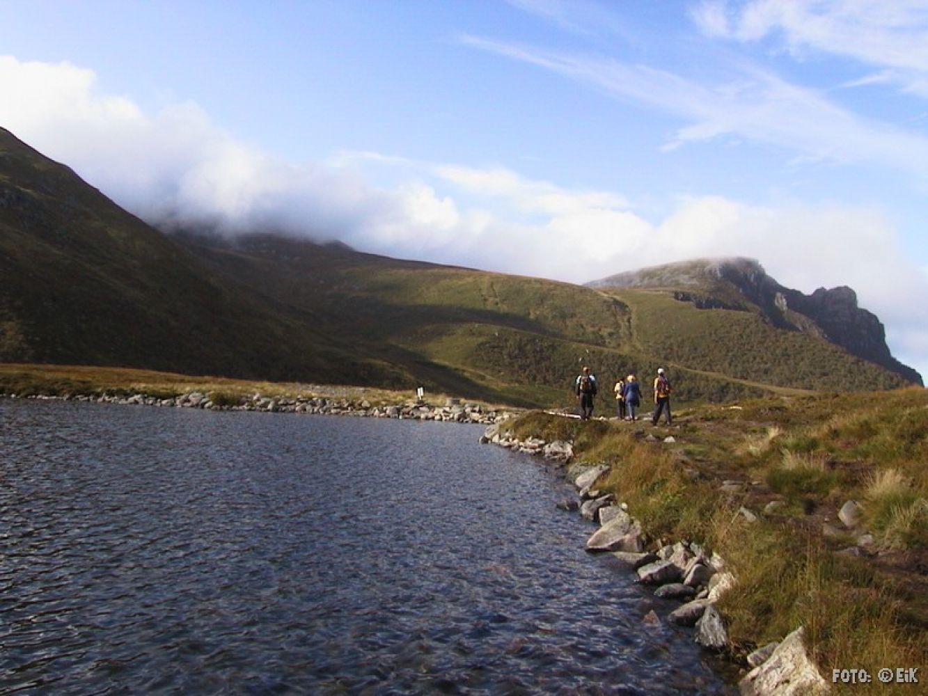
This is a nice trail leading up to Lake Skottenvatnet. The trail involves some steep climbing, but you will be rewarded once you reach the lake! You will get a great view out to the open sea, the Kvitholmen lighthouse and in the direction of the Atlantic Road.
Follow the gravel road up to Lake Skottenvatnet. The road is surfaced with fine gravel all the way up. You will have to cross a number of streams, but most of them are easily achievable. It could be a bit wet under heavy rainfall or snow melting.
Shooting range, Skotten. Drive from Elnesvågen following the road up Eidemsbakken to Farstad. From there, continue in the direction of Vevang (the Atlantic Road).Once you are in Skotten follow the sign for the shooting range (“Skytterbanen”). Park your car there.
You can park your car near the shooting range in Skotten at the designated parking bays.
At the shooting range in Skotten.

 Driving directions
 Route data