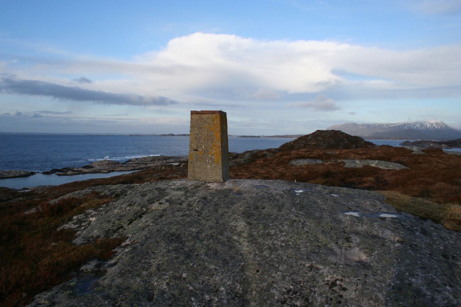
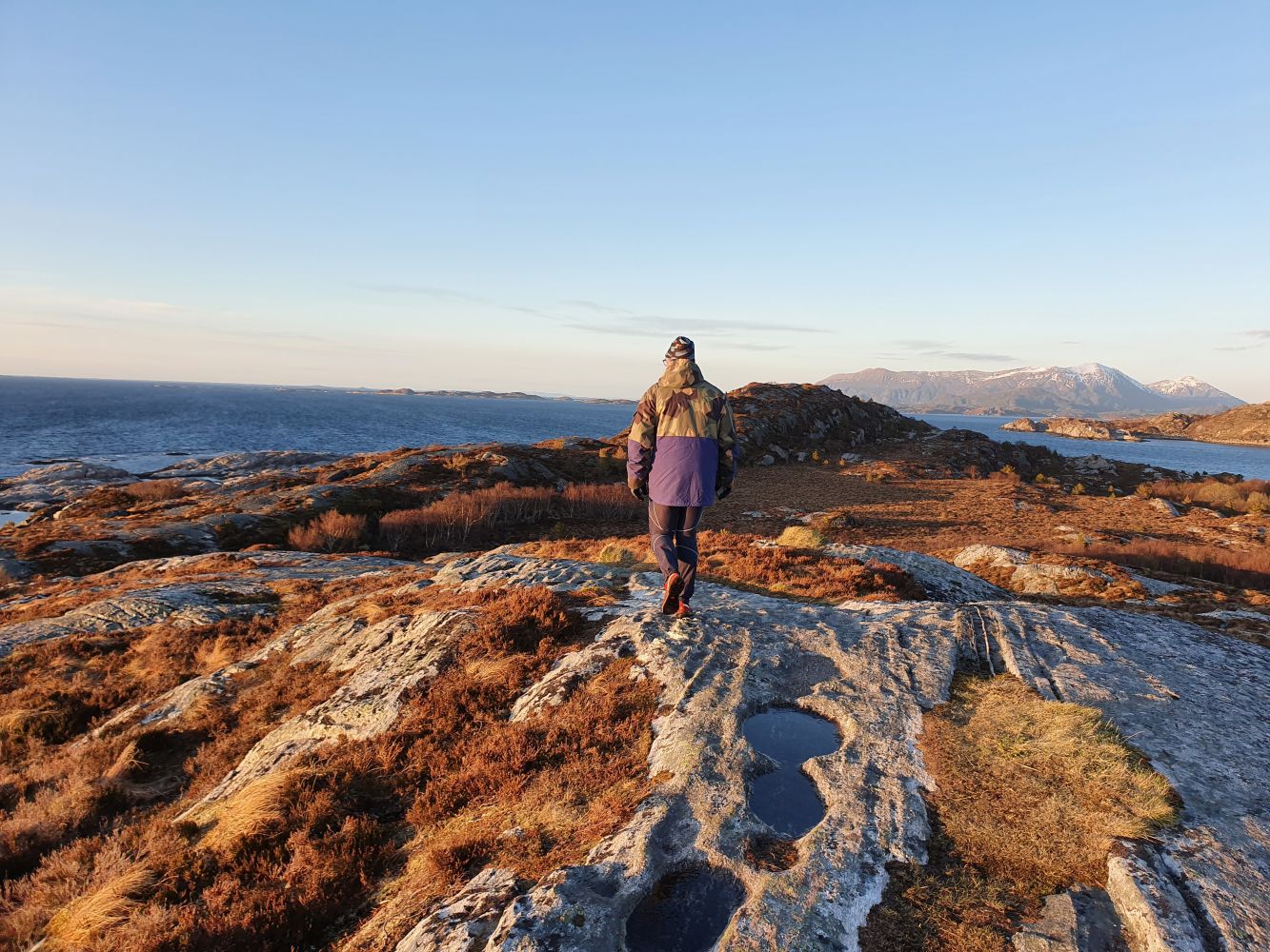
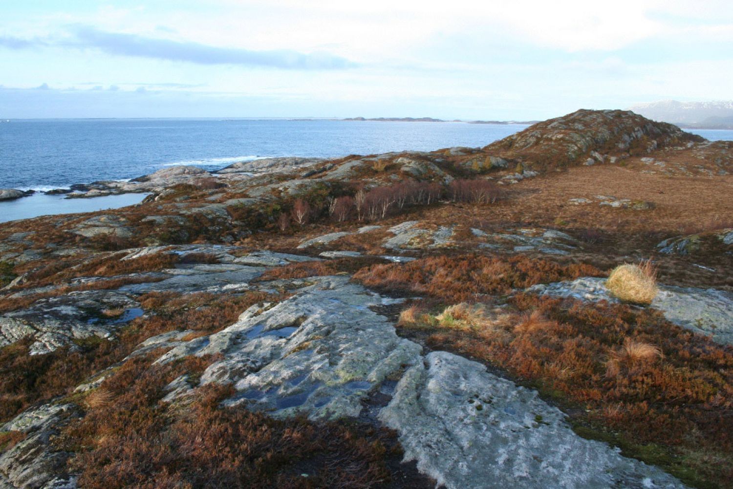
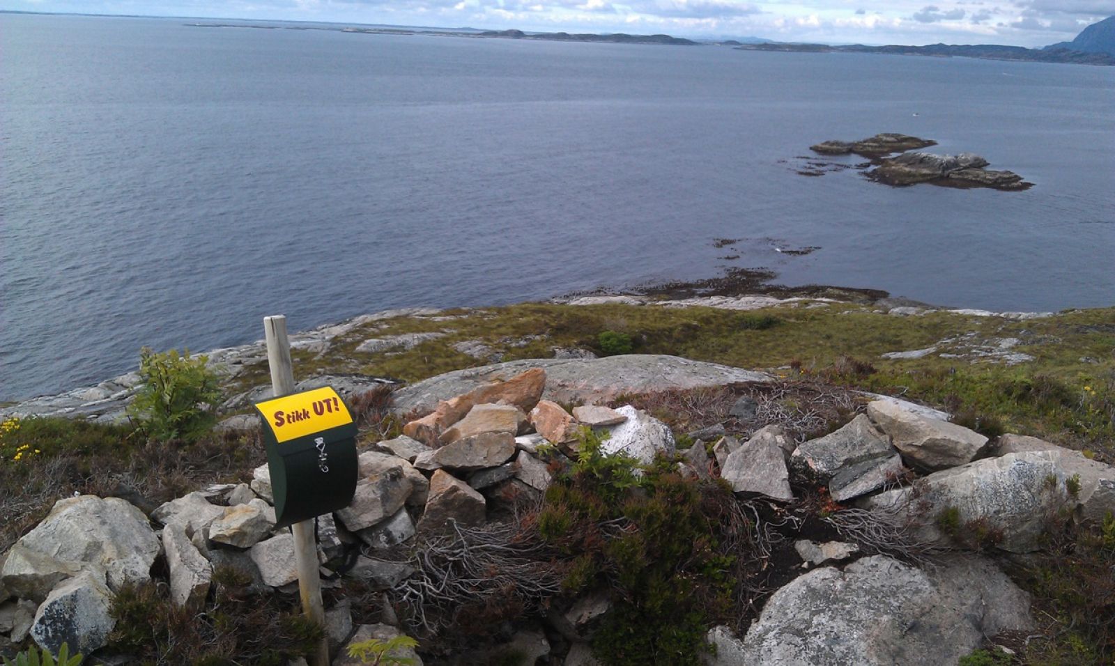
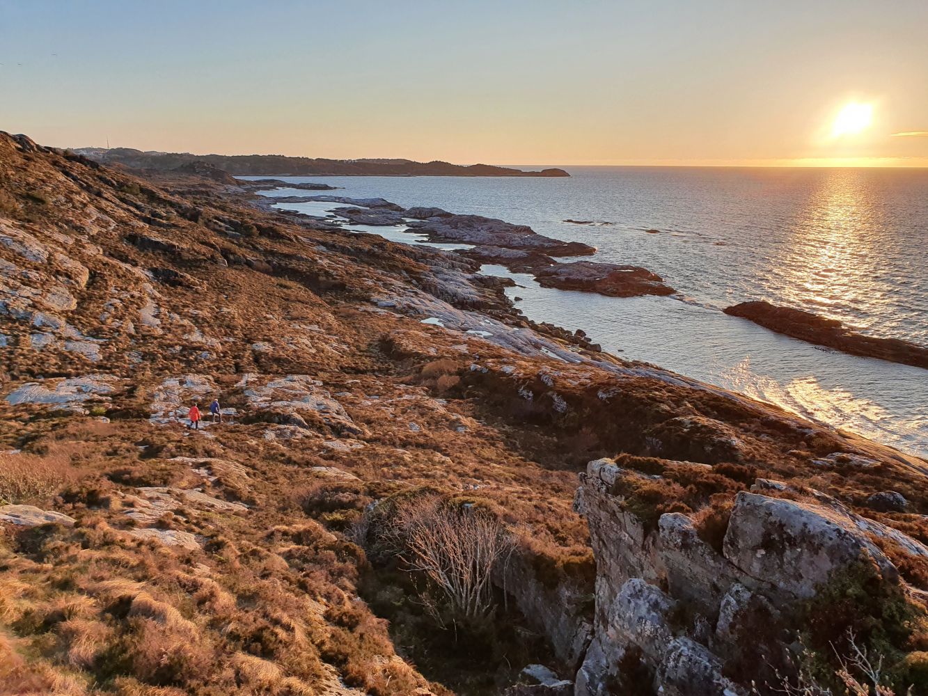
The destination of this trail is Pikhaugen, the easternmost hill on Skorpa with a stone cairn and traces of the German occupancy of Norway (1940–1945) in the form of a shooting post and fragments of barbed wire. You will find our trail postbox with possibilities to register your name there. There is a spectacular view from the Pikhaugen hill over the ocean, towards Håskjæran as well as Tustna in the east.Skorpa is characterised by narrow rocky coastal landscape that stretches into the ocean. There are several small islands along the coast. The area has many angling spots. There are also nice swimming areas here which you can use when the weather is good. The northern side of Skorpa is an important area for outdoor activities.
Route description
We recommend that you follow the hill range in the middle of Skorpa all the way to the trail destination. Starting from Skorpaveien road, follow the path straight ahead. Turn left to see the areas of bare rock above the residential area that were previously used for making dried and salted cod. Continue through some green areas (traces of farming activities) towards the hill range on Skorpa.You will now come up to the Langhaugen hill with a cairn on top. Continue walking along the ridge, walk across the marsh to the left and up onto the next part of the ridge. The final section of the path curves to the right. On a section of the path between the hills you will need to take a sharp turn to the left. The path then swings slightly to the left before it drifts towards the Pikhaugen hill with the cairn on top. An alternative route is to follow the paths (note: there will be some wet sections) to the left and down towards the swimming area Valan on the outside of Skorpa in the north. You will find the warmest water in the city here in this natural pool with Storvalan for experienced swimmers and Litjvalan for small children. In calm weather, you can even take a dip in the Atlantic Ocean. There are also great spots for fishing with a rod. If you follow the smooth rock slopes eastwards along the ocean all the way to the end of Skorpa (Skorpenden), you can climb the Pikhaugen hill at the end of your hike. It is recommended that you combine the alternative routes! Keep in mind that all trail alternatives have patches of uneven terrain. The level of difficulty of this trail is medium. After the periods of heavy rain there might be some wet sections along the trail.
Access and parking
Drive along National Road 70 (Rv70), Wilhelm Dalls road. If you are driving from Kristiansund, turn right just before the Nordsund Bridge, drive under the road and onto Bentnesveien road. If you are coming from Molde, turn off to the right just after the Nordsund Bridge and drive onto Bentnesveien road. Follow the road down towards Skorpaveien. Take the turn to the left and park your car in Dunkarsundet, next to the marina right before the small bridge to Skorpa. This is where the hike starts. Walk up Skorpaveien road. The path starts right from a residential building at the end of Skorpaveien.
Park your car next to the marina in Dunkarsundet or take a bus to Skorpa. There is a bus stop along Skorpaveien road.
Hiking route
Blue
Distance
2,18 km both ways
Elevation
111 m
Duration
50 min.
Sesong
Winter, Spring, Summer, Autumn
Highest Point
48 masl
Signage
No signage or markings
Mobile coverage
Map route
Surface type
Distance
Asfalt
0,5
Sti
2,5
Public transport
For bus connection to Skorpa, please see http://www.177.no There is a bus stop right by the bridge along Skorpaveien road. Walk up Skorpaveien and you will promptly reach the start of the trail.
Other
The trail is described with photo illustrations in “Turbok for Kristiansund og Omegn” (“Trail Catalogue for Kristiansund and Surrounding Areas”) (Publishing House “Turbokforlaget”, Kai A. Olsen and Bjørnar S. Pedersen, 2008), pp. 12–14.
Map
Tourist map of Kristiansund and surrounding areas.

 Driving directions
 Route data