Forest Road Brekke – Røfsdalen
Vanylven
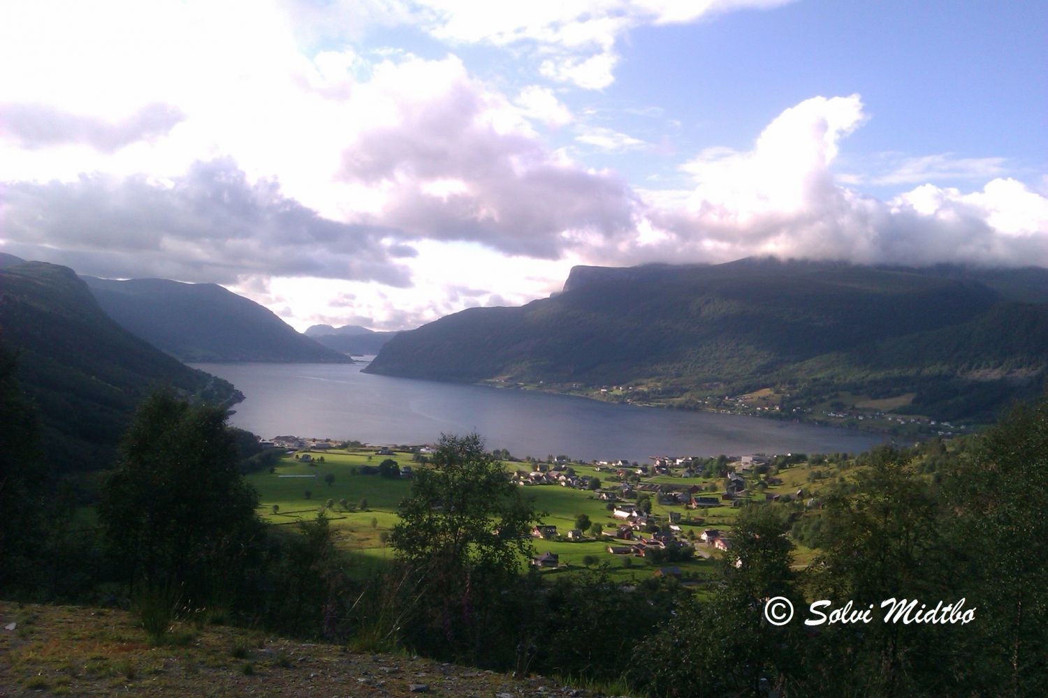
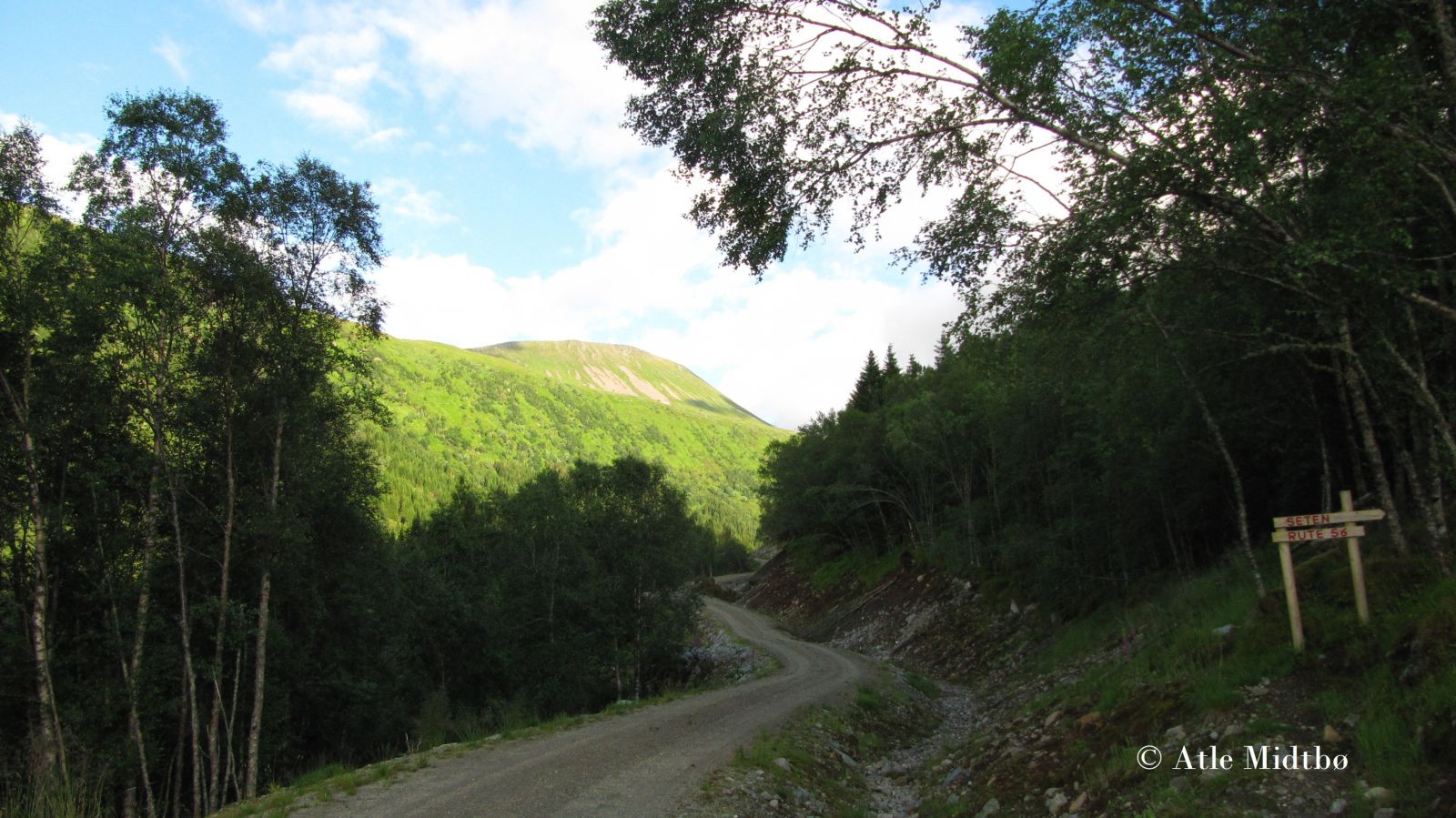
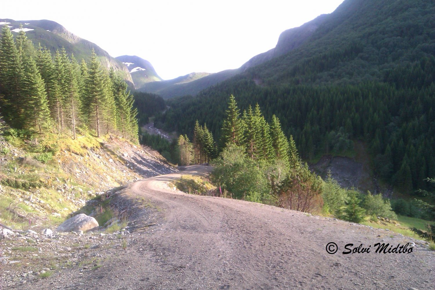
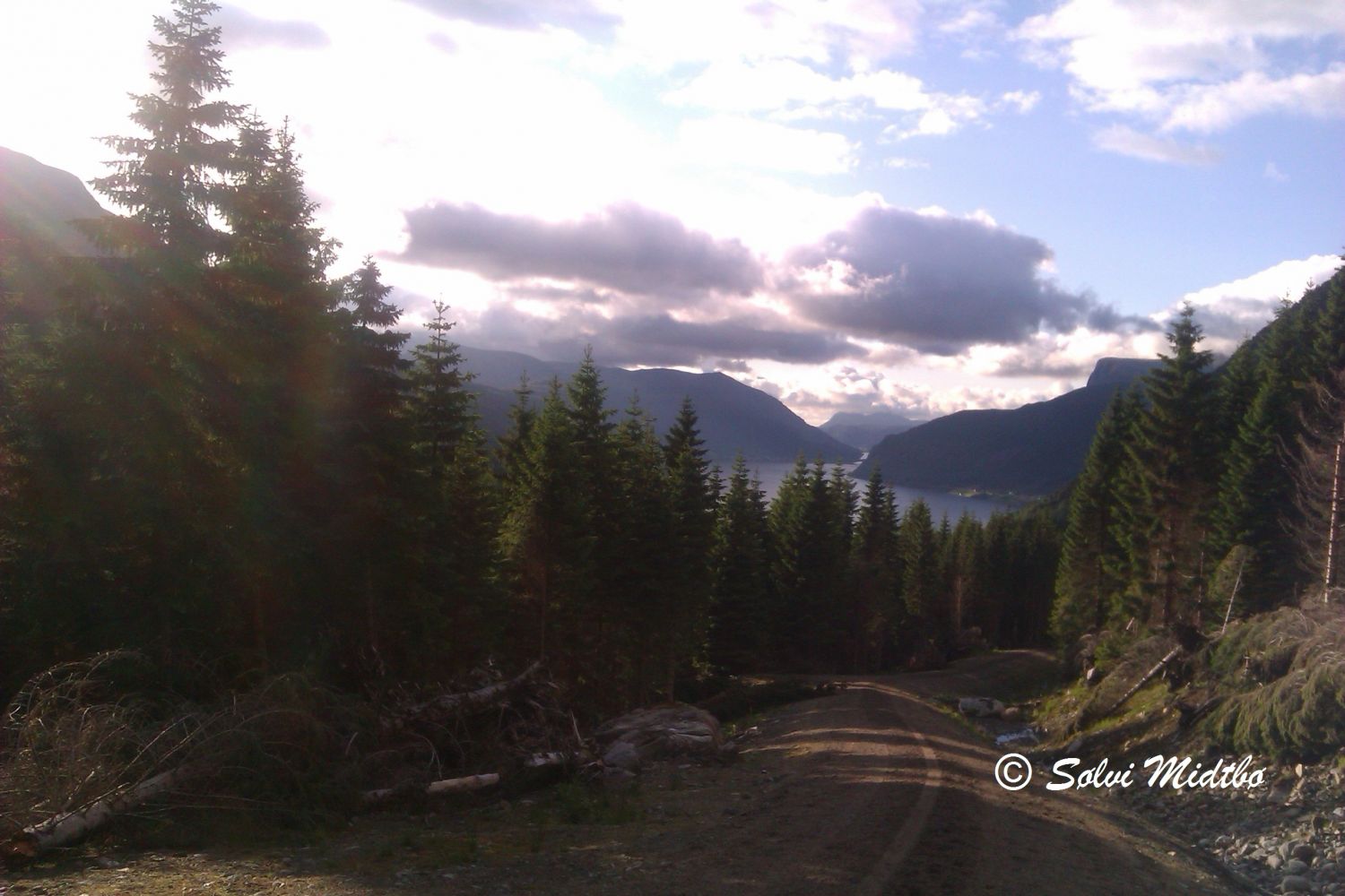
The forest road that starts from Brekke in Syvde is a scenic hiking trail with a viewing point over the village. The road has a gradual ascent and is well suited for those who are looking for a fairly strenuous fitness trail. The road is also perfect for cyclists. A cycling tour can be extended further into the Røfsdalen Valley until Lundagjerde. You can decide for yourself how long your hike will be. The distance from Brekke to the end of the forest road by Lake Sætrevatnet is 4.6 km. The forest road runs on both the western and the eastern side of the Røfsdalselva River. The one on the western side has a more solid surface which makes it better suited for people who walk with strollers.
You can start in Brekke and walk or cycle along the forest road on the western side of the Røfsdalselva until you reach Lake Sætrevatnet. You can then follow the same route back to the starting point or take a tractor road that runs along the river. This road meets the national road at the residential area of Brekke. You can also do a loop trail after you have reached the end of the forest road on the western side of Sætrevatnet. Follow the road down to the river and cross the Røfsdalselva over a slightly narrow bridge without railings. From here, continue along the forest road that runs from Trøvelsletta to Djupegjølet and further to the water intake facility before coming back down to Sætrevegen Road further ahead. The forest road on the eastern side is slightly steeper than the one on the western side.
Drive from the centre of Syvde in the direction of Sørdal. Sætrevegen Road begins in Smedbøen where the county road swings right towards Sørdalen. Continue following the road over the bridge to cross the Røfsdalselva River and the residential area of Brekke. The forest road begins near the cattle grid.
If you want to follow the forest road on the western side of the Røfsdalselva, you can park along the exit road in the area where the road begins. For a loop trail, you can park along Sætrevegen Road in the area near Myklebust Joint Ownership’s toll collection point. When parking, please ensure that large vehicles can drive past. If you are cycling, you can extend your trail by parking in the centre of Syvde.
Duration
3 t. 25 min.

Sesong
Spring, Summer, Autumn
| Surface type |
Distance |
| Asfalt |
4 |
| Grus |
8 |
Hiking map: På tur i Vanylven (Eng. Hiking in Vanylven) – can be purchased at local shops and petrol stations in Vanylven Municipality, such as Coop marked Syvde.
 Driving directions
 Route data
GeoJSON