Skjervheimsdalen – Blåfelden – Route 71
Vanylven
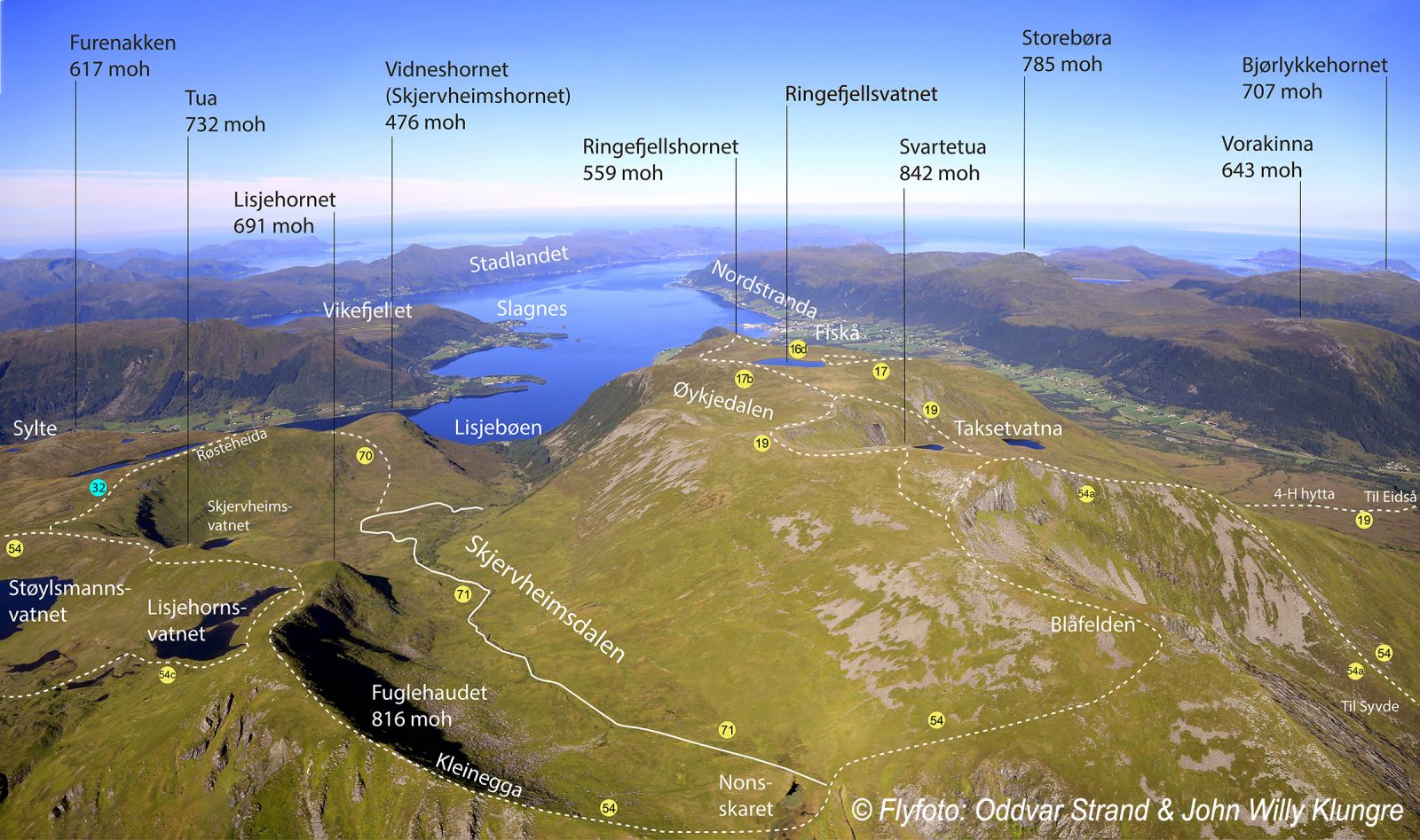
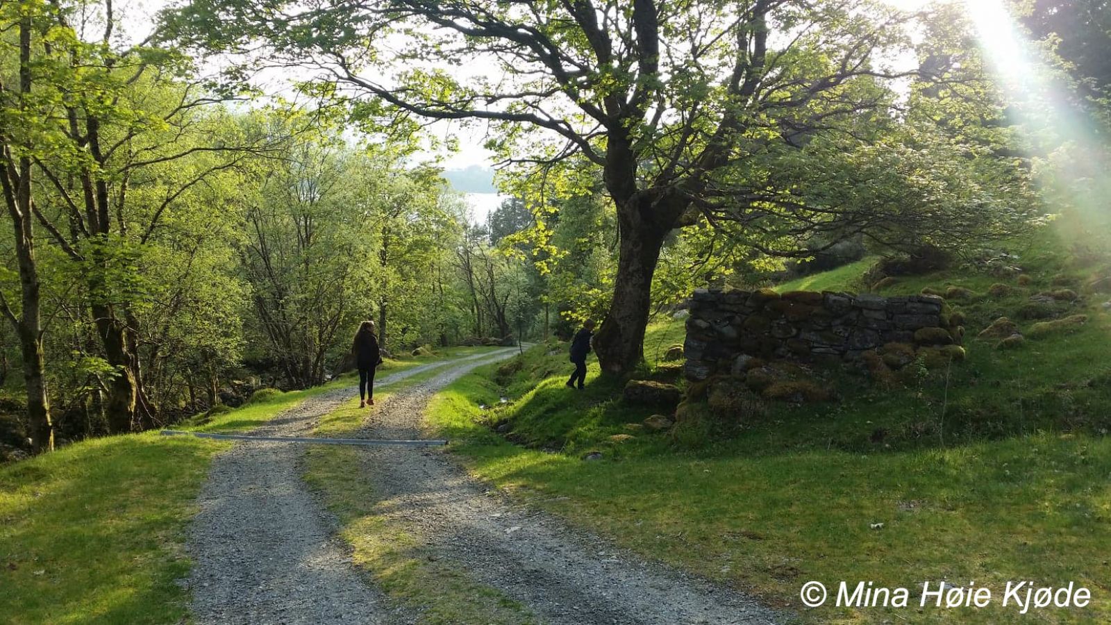
Skjervheimsdalen is a secret valley that not many people, even in Vanylven, know about. The trail is suitable for people of all ages. You will follow the road from the fjord up to Skjervheimsstøylen, a summer mountain farm at the end of the road. You can also walk further if you want. Alternatively, you can drive to Skjervheimsstøylen at the end of the road (320 m a.s.l.) and start walking from there. This is the starting point of the easiest route to Blåfelden and Svartetua with a view towards Syvde and Eidså. For a circular trail, go to the end of the valley and walk via Fugelhaudet, Tuam and Røsteheida back to Skjervheimsstøylen.
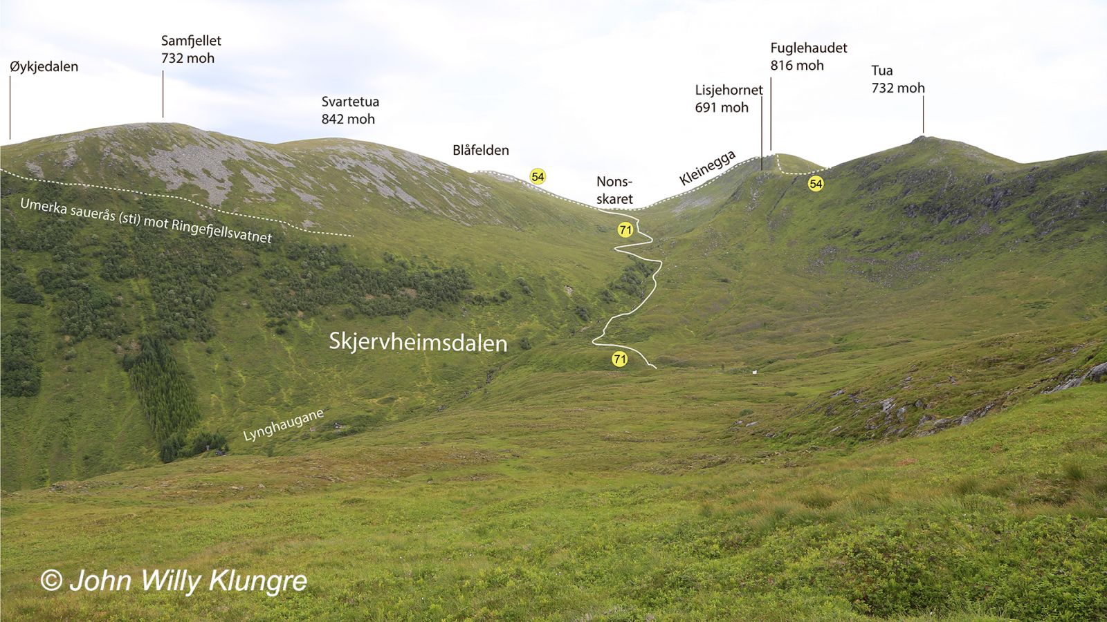
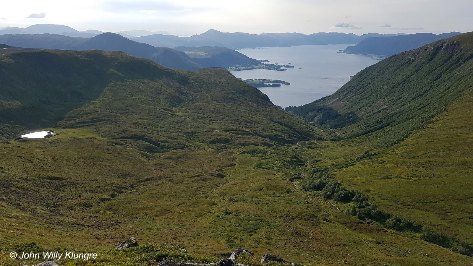
Begin by walking from Skjervheimsstøylen across the bridge and follow the tractor road until it ends. From there, you can follow Route 70 to Vidnesstøylen or Route 71 to the upper end of the Skjervheimsdalen Valley. The surface you walk on will vary a little, including some wet sections, but it is overall easy to walk. You will meet Route 54 at the upper end of the valley in Nonsskaret at 685 m a.s.l., about halfway between Blåfelden and Fuglehaudet. Both routes are marked with sticks or blue paint on stones, etc. The map on this page shows the route from the end of the road in Skjervheimsdalen to Blåfelden, while the distances given are from the end of the road to the upper end of the valley. The entire valley has most likely had a U shape after the last ice age, but the river has formed the part below Skjervheimsstøylen into a V-shaped valley. As you move further up the valley, it becomes a wide U-shaped valley. Here, two cirque glaciers have created cirques that expand the valley even more. The cirque glacier has formed Lake Skjervheimsvatnet in the middle of the valley. Further up the valley, there is also a less characteristic glacier formed lake on the northwest side of Fuglehaudet. The Skjervheimsdalen Valley ends at Nonsskaret, a crevice that goes steeply down to the Saurdalen Valley and Myklebust in Syvde.
To get to the Skjervheimsdalen Valley, turn off the national road in Lisjebøen, 130 metres north of the bridge over the Skjervheimselva River. The road to Skjervheimsstøylen up the valley follows the northern (or left) side of the river.
You can park your car near the national road or at the end of the road up Skjervheimsdalen.
Duration
2 t. 55 min.

Sesong
Spring, Summer, Autumn
Signage
Both signed and marked
| Surface type |
Distance |
| Sti |
3 |
Vanylven hiking map is sold at local shops and petrol stations in Vanylven Municipality.
 Driving directions
 Route data
GeoJSON