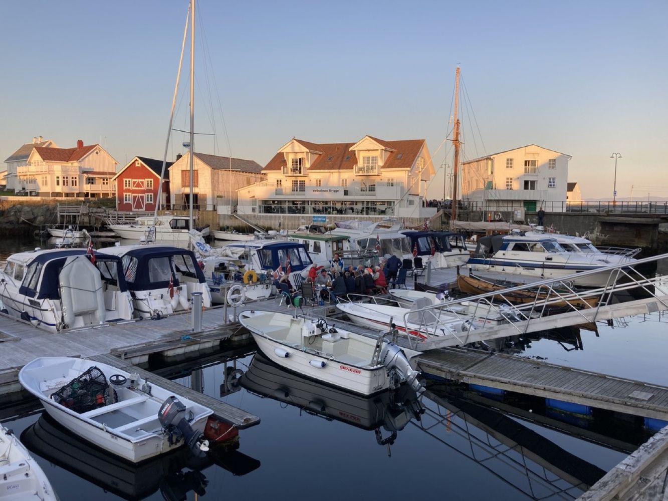
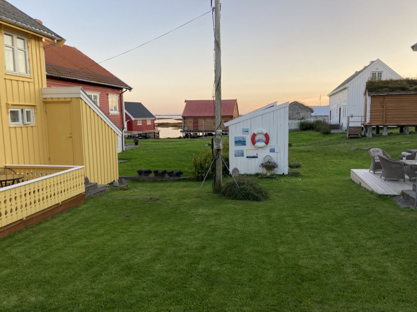
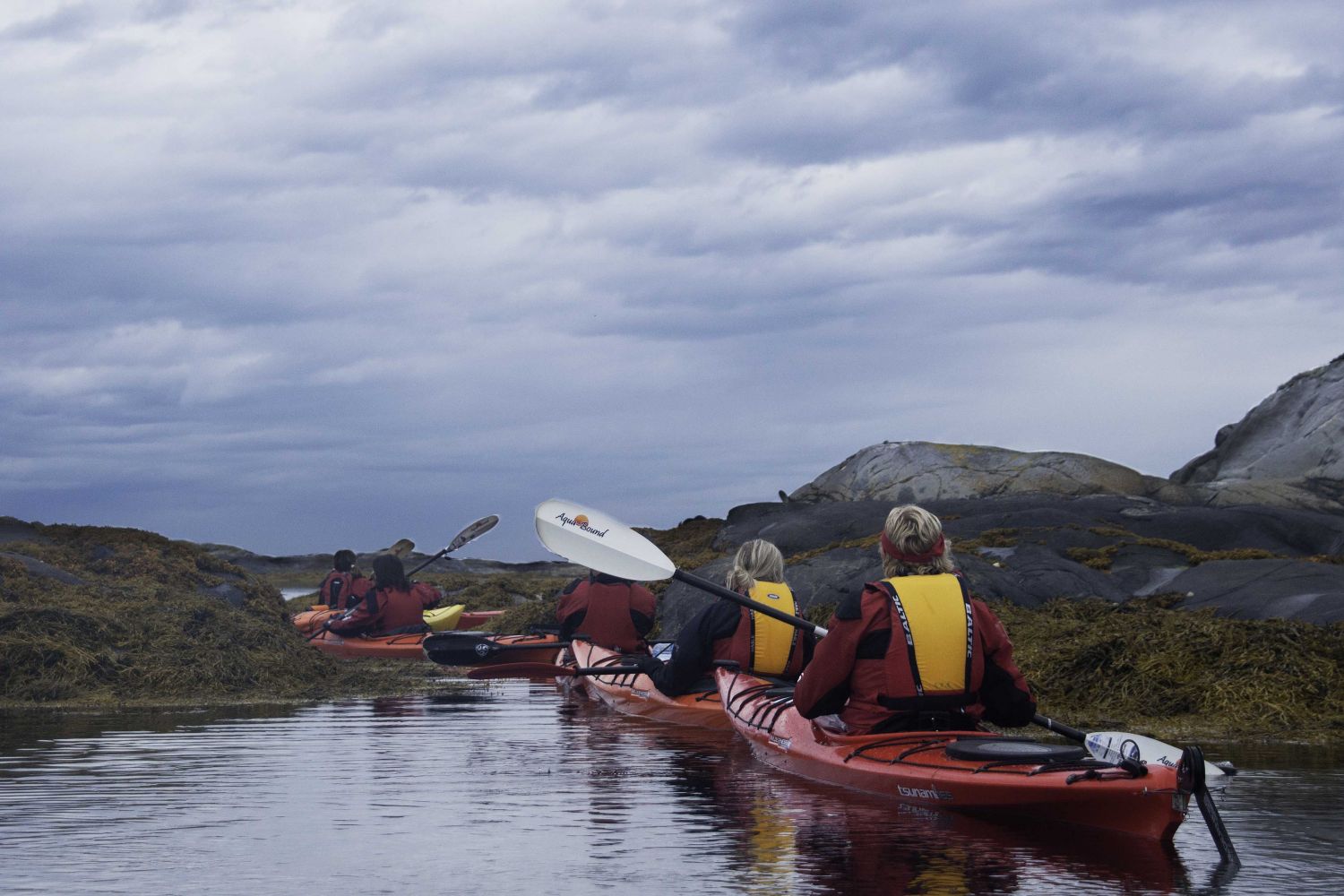
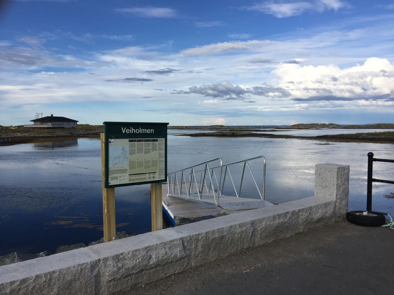
Set course for the fishing village of Veiholmen facing the Atlantic ocean! This route leads along the west side of the road that winds around Hopen on Smøla to Veiholmen. Most of the route is surrounded by islands and islets that break most of the waves. Veiholmen has a grocery store, restaurants and cafés, a pub, overnight accommodations and idyllic white, wooden houses.
You can paddle on both sides of the road winding between Hopen and Veiholmen, which means you can paddle sheltered from the wind and waves. This route leads along the west side of the road. Cross over to the east side below the Verjeskift bridge between the islands of Kråkøya and Flatøya, or by the fish reception and processing facility right before Innveien, one kilometre south of Veiholmen. The stretch on the west side is somewhat longer than on the east side.
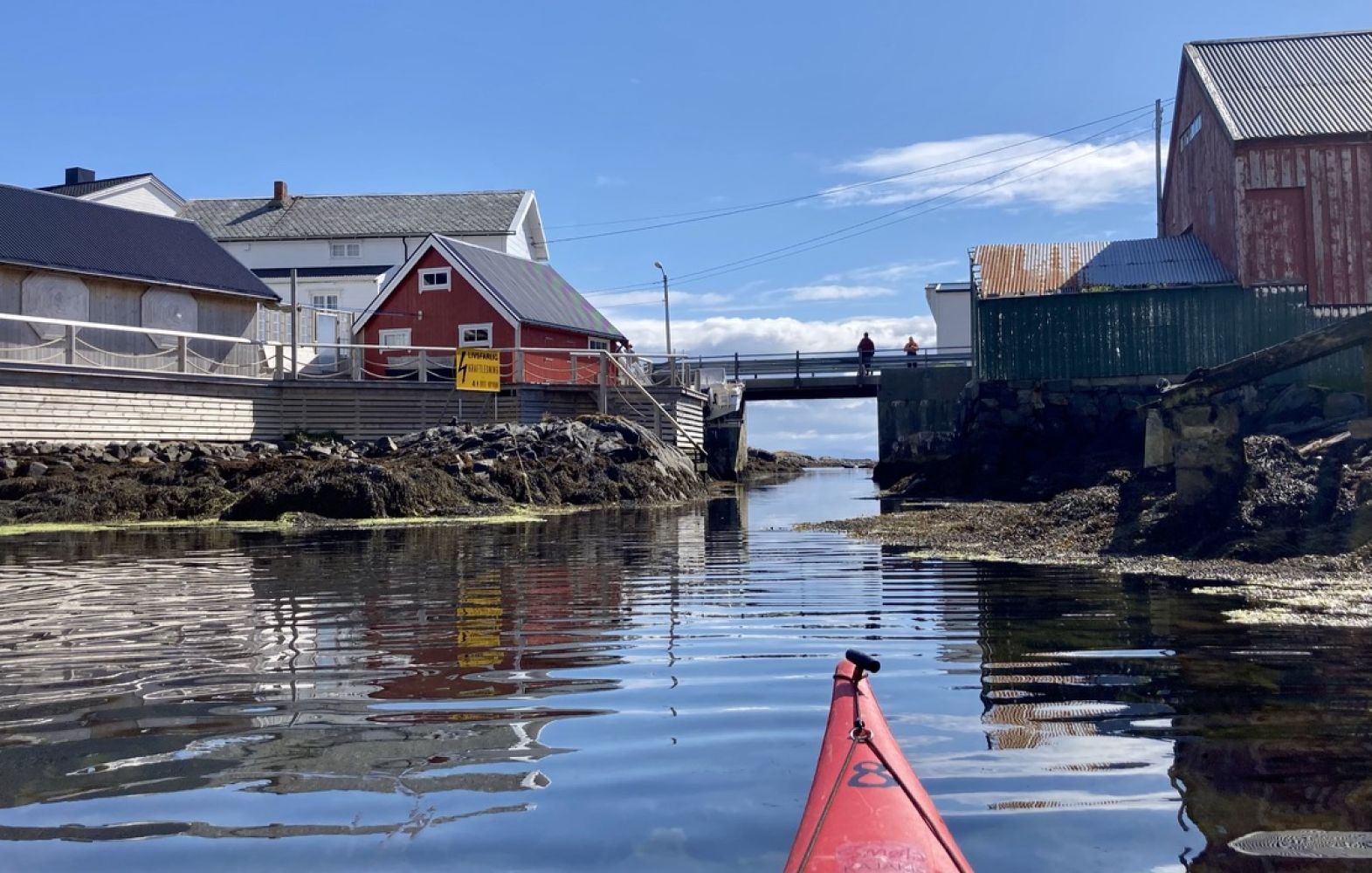
From the floating bridge to the Hopen Brygge wharf, paddle south of Skjøttøya. At low tide, you will have to pull your kayak a few metres. After passing two bridges, you will be entering Aunvågen. This area is extremely sheltered and the water is often completely calm. Study the map carefully during low tide. Otherwise it may be easy to miss the narrow channel in a northern direction that will bring you out of the inlet. If you miss it, you will only have to take a somewhat longer trip via Postøya. Up to the Verjeskift bridge there are numerous islets, but maintain your course and you will get there. After the bridge, you can follow the markers of the sea lane towards Veiholmen. There is little boat traffic here, but we recommend that you paddle outside the sea lane to avoid boats. On the west side of the entrance the sea may be rough in places in westerly winds, so we recommend that you cross below the bridge at the fish reception and processing facility.
It's best to pull up your kayak by the floating bridge by the parking place at Hotranklakken.
Be aware of your skill level here as the weather changes quickly and the wind can suddenly become strong. Check the wind warnings in the weather reports and let others know where you're going.
It is of course possible to take the opposite route, from the fishing village of Veiholmen to Hopen.
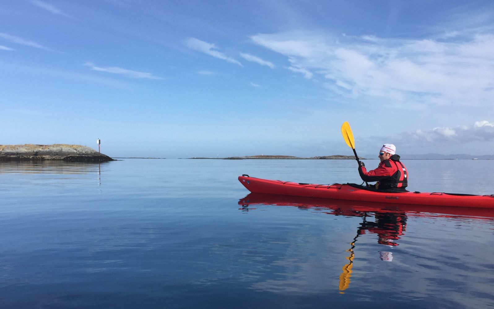
Smøla, with its 6000 islands, islets and reefs is a fantastic destination for paddlers. It is easy to go ashore on most of the islands, and you can paddle around them without even meeting anyone else. There is a good chance you'll encounter an eagle, since this area has the largest eagle population in the country.
The starting point is Hopen Brygge, just north of Hopen municipal centre near the road to Veiholmen. When coming from the east, exit the main road just before you come to Hopen. There are clear signs to Veiholmen. One kilometre after the exit, you will see Hopen Brygge on the right side. You can launch your kayak from the floating dock at Hopen Brygge, which also has parking. Check with Hopen Brygge if you want to park for longer than a day.
Distance
11,32 km one way
Duration
2 t. 50 min.

Sesong
Spring, Summer, Autumn
It is possible to take the bus to Smøla Kajakk in Steinsøysund. Smøla Kajakk transports rented kayaks to the starting point and picks them up again.
The sea on the west side of Innveien is exposed to westerly winds. You should therefore paddle along the east side.
If you're a history buff, we recommend going ashore on Odden. Odden is a low island in a spectacular location close to the open sea. Here there was once a church, sheriff, post office, docks, boarding house and more than 100 permanent residents and seasonal workers. Odden was abandoned after the floods in 1901 and 1913.
 Driving directions
 Route data
GeoJSON