When driving from Åndalsnes, turn off the county road by the bus shelter about 500 m before the shop in Mittet and drive up to Ytre Mittet. Follow the toll road (cash payment) up to the mountain farm Ytre Mittetsetra.
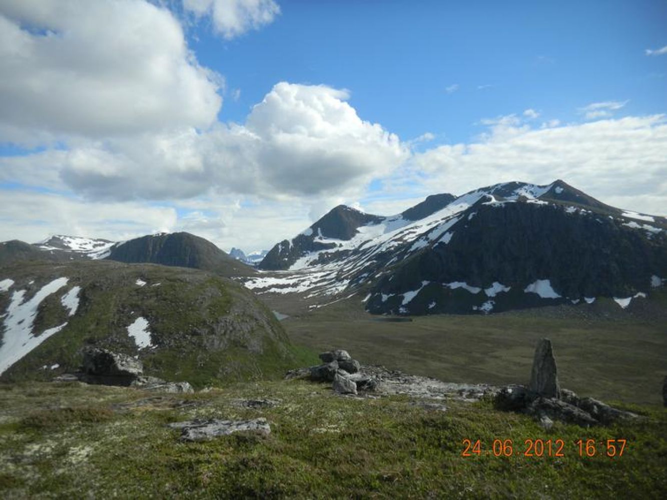
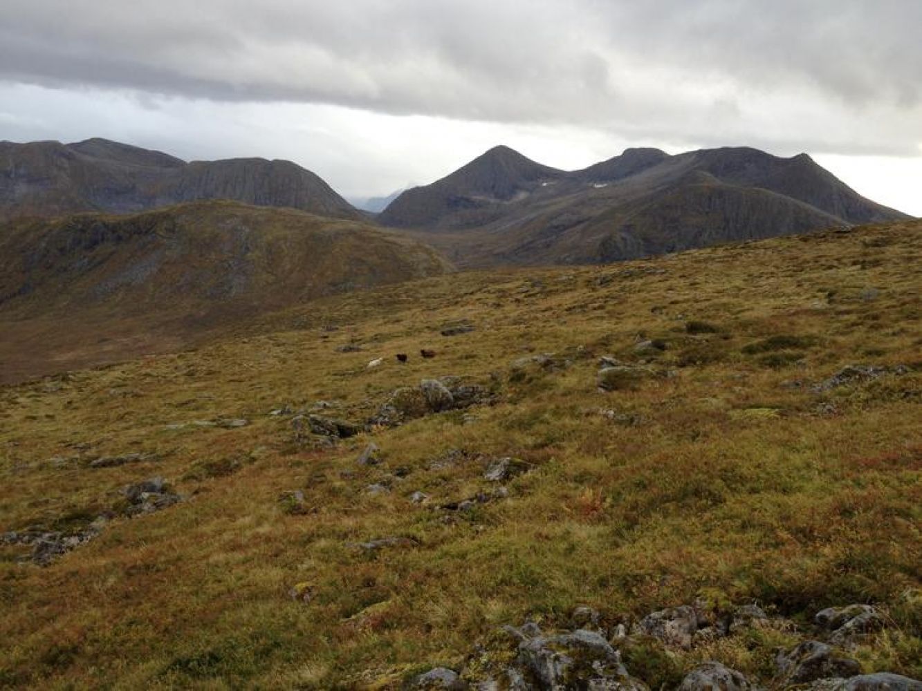
The trail is marked from the car park. It runs through the mountain farms up towards the top of Skarven. Keep to the left when you are above the tree line and walk up to the cairn at the top of Skarven. There are some wet sections along the trail.
Source:

 Driving directions
 Route data