Skarven in Skorgedalen
Rauma
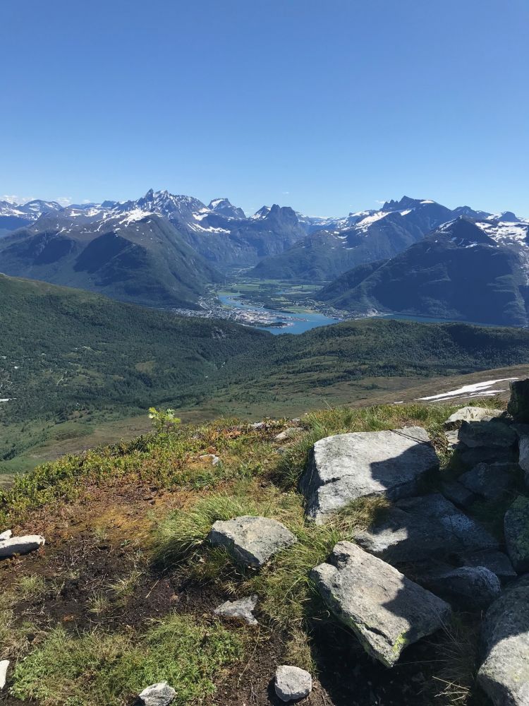
The trail to Mount Skarven offers a variety of terrain and involves some fairly steep sections. You will get a stunning view once you come up to the mountain ridge.
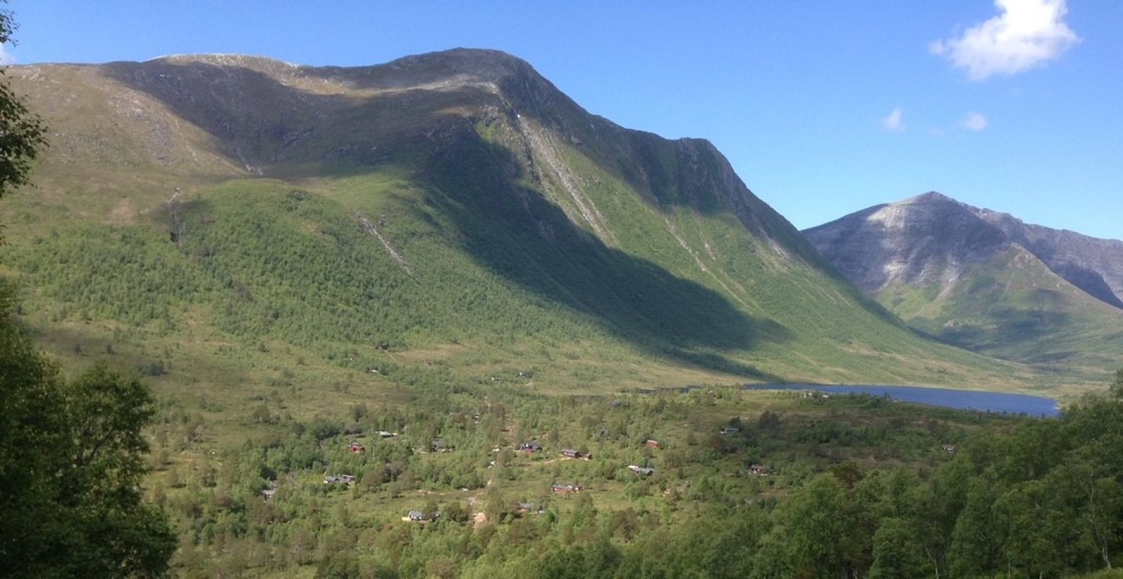
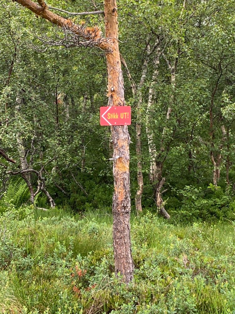
Follow the gravel road from the highest point of the car park in the direction of Lake Selsetervatnet. Turn left before the bridge and follow the red marks. The path runs past some cabins and climbs steeply up to the left of the river. Here, you can find a nice swimming spot and collect drinking water. Once you are above the tree line, walk across the marsh and keep to the left before the path climbs steeply up again in the direction of the ridge. From the ridge, you will follow a good-quality path through gentle terrain with a fantastic view. The final section of the trail towards the peak is a little steep but not very demanding.
Turn off from the main road in Skorgen, Brevikstranda, at the sign for Skorgedalen. Follow the toll road for about 3 km until you reach the car park.
Duration
3 - 4 t

Signage
Both signed and marked
| Surface type |
Distance |
| Grus |
0,7 |
| Sti |
2,4 |
| Ingen sti |
0,6 |
No public transport available. Please use a private car.
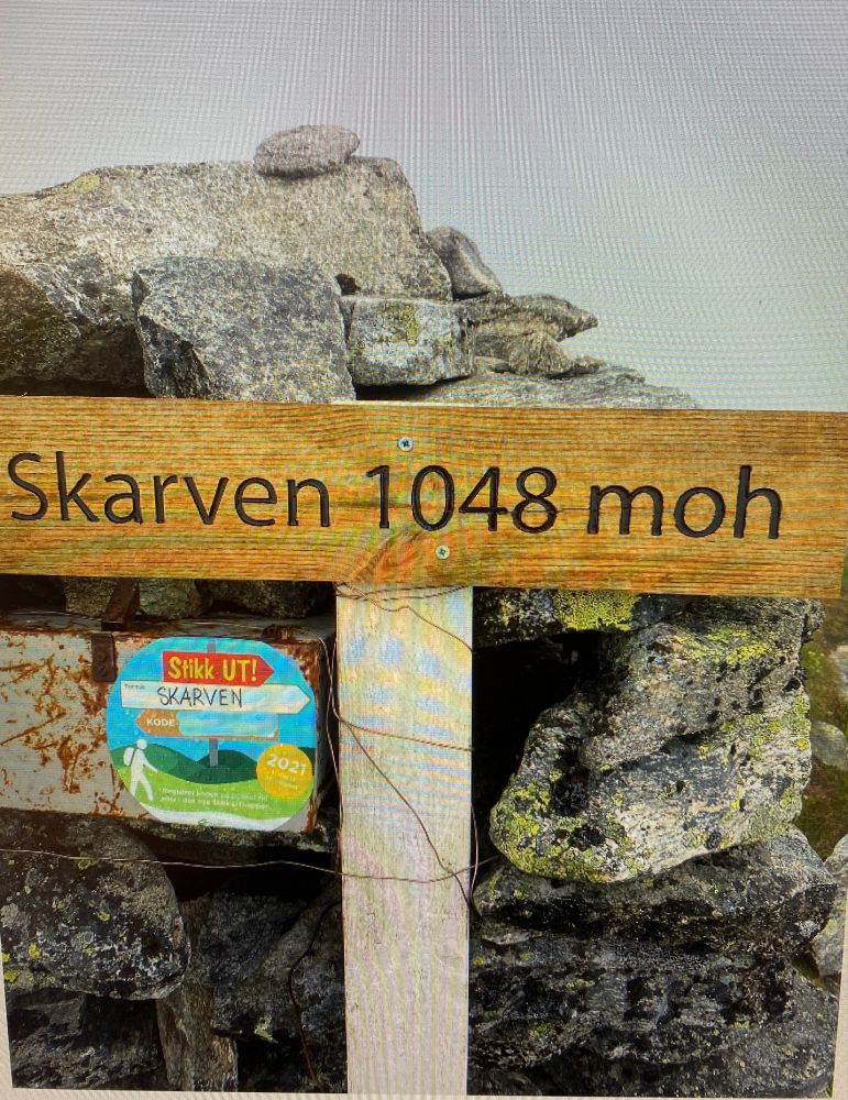
This hike was not part of Stikk Ut trails in 2020 but will certainly be included in 2021.
NOK 90, bank card payment.
 Driving directions
 Route data
GeoJSON