Skarvan, Døftlia
Hustadvika
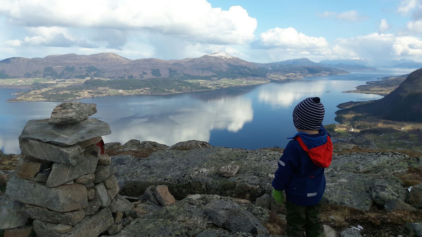
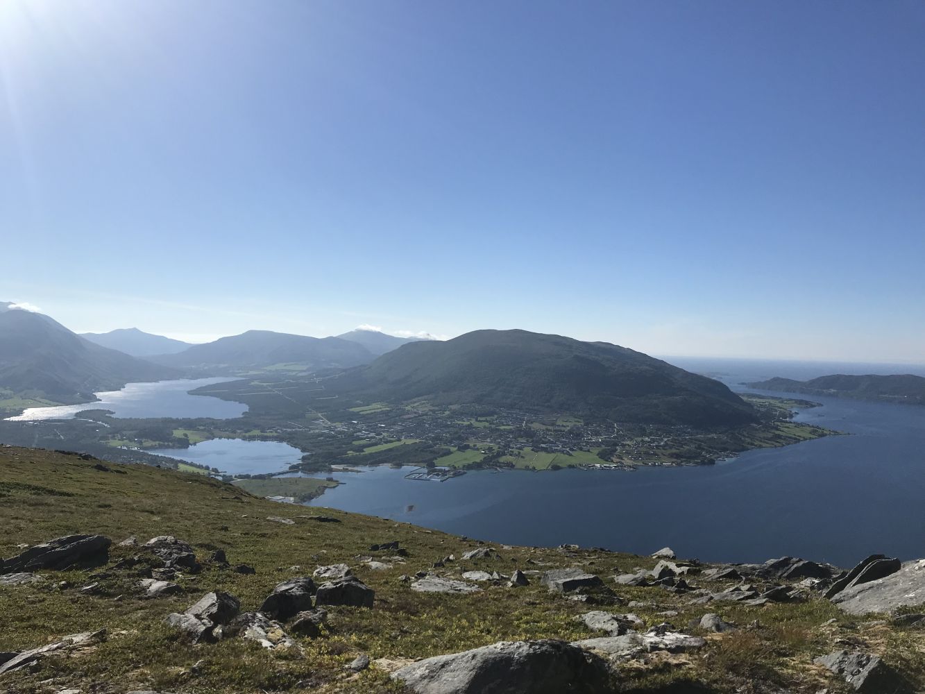
This is a lovely hike with a view over Eide, the Kornstad Fjord, the Kvernes Fjord and Averøya.
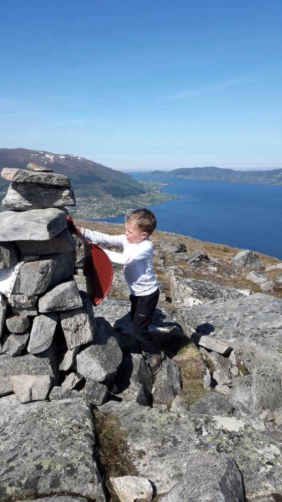
From the parking area you will see a path running on the left side of the road along the canal that is perpendicular to the road. The path then swings to the left going along a spruce forest plantation and climbs up the hill. Follow the hillside to the left until you reach the cairn at the top of Mount Skarvan, 540 m a.s.l. There are two trail checkpoints here, but you should walk along the crest of Skarvan with a great view over Eide to find the trail postbox with a code. On your way down you can walk through Mount Seterfjellet, Kjølaskaret and Ugelstadsetra following the way that will take you back to the place where you parked your car.
If you are driving from the centre of Eide, turn off National Road 64 (Rv64) at the first junction taking the left turn towards Høgset and follow County Road 279 (Fv279). If you are coming from the direction of Molde, take the turn to the right at the first junction after the Sjelvik car service. After about 1 km turn right towards Ugelstad onto County Road 278 (Fv278). After about 100 m turn left and continue up the Ugelstadvegen road. Right before you cross the river follow the road as it swings left and up towards Ugelstadsetra farm. Look for the marks along the way. You will have to pay a toll fee of 30 NOK if you want to drive up this road by car. (If you would like to walk up the toll road, you can drive over the bridge and park your car at the meeting point. The distance to the car park for the trail to Skarvan is 2.5 km. In this case bear in mind that your hike will be at least 40–50 minutes longer as you will be walking into the valley. The starting point is the same as for the trail to Mount Snøtinden.)
Once you reach the point where the road begins to flatten out you will see a small car park on the right side of the road. You can leave your car here.

 Driving directions
 Route data