Norsk

Skaret Nature Trail

Hustadvika

The trail at a glance

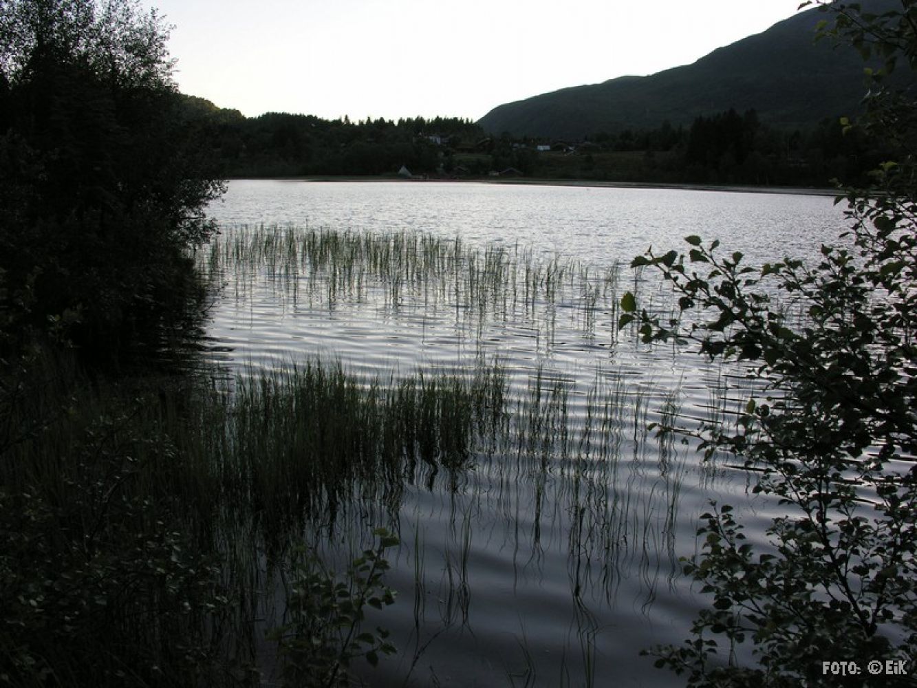
This is a really nice hiking trail around lake Skarvatnet. There is a picnic area on the southern side of the lake. You will be following a good gravel road along the entire trail. 

Route description

The trail follows a path surfaced with fine gravel that will take you around Lake Skarvatnet.Follow the toll road east in the direction of Malmesetra. Once you reach the end of Skarvatnet, take the turn to the right onto the waymarked hiking trail. The last patch of the trail is a bit uneven, but a new trail on the western side of the lake is now ready. You can walk up to the road and to Skarstua again or follow the path along the lake.

The trail starts and ends at Skarstua.

Access and parking

Drive up to Skarstua and park your car in the area nearby.

Big parking area at Skarstua.
Hiking route
Green
Distance
3 km one way
Elevation
35 m
Duration
50 min.
Sesong
Summer, Autumn
Highest Point
227 masl
Signage
Both signed and marked
Mobile coverage

Map route

Surface type Distance
Grus 2

Map

Molde/Fræna tourist map
Driving directions

API endpoints

Route data GeoJSON