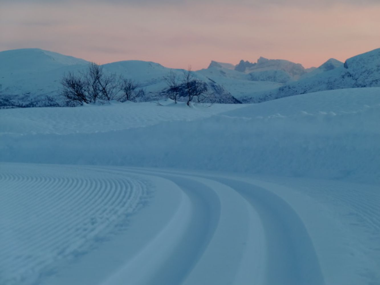
This scenic ski trip runs along prepared ski trails up to the highest point in the direction of Silsetfjellet. You can enjoy an amazing view of the Romsdal mountains from here. The trail covers various types of terrain and can be done as a loop trail. This loop trail is often referred to as Raudlirunden by the locals.
The trail starts at the car park in Fursetfjellet. Cross the road and follow the prepared ski trail on the eastern side of E39. The first section of the trail covers gentle terrain with not much climbing. The trail splits in two after about two kilometres. Both trail alternatives lead to Skaran. If you choose to turn right, you will reach Breiskaret after about 1 km of relatively steep climbing. After about 2 km through moderate terrain along the hillside of Raudlia, you will come to a new intersection where you need to turn left to get to Skaran (if you choose to go straight ahead at the intersection, you will come down to Lake Silsetvatnet after a while). From there, continue for the final 1 km long section that involves a steep uphill slope until you reach the destination. The other trail alternative is to turn left at the first intersection. In that case, the trail will have a more gradual ascent all the way up to the destination. For a trail further to the Silsethytta cabin, please see a separate description of the ski trail to Silsethytta on Lake Silsetvatnet.
Drive along E39 between Hjelset and Batnfjordsøra. At the highest point of the Fursetfjellet area, there is a paid car park that is cleared by a snowplough in winter.
Distance
10,50 km one way
Duration
2 t. 20 min.

| Surface type |
Distance |
| Preparert med tråkkemaskin |
10 |
1320 IV Eide or Kristiansund tourist map
 Driving directions
 Route data
GeoJSON