Skagetåa from Mjelthaugvegen
Herøy
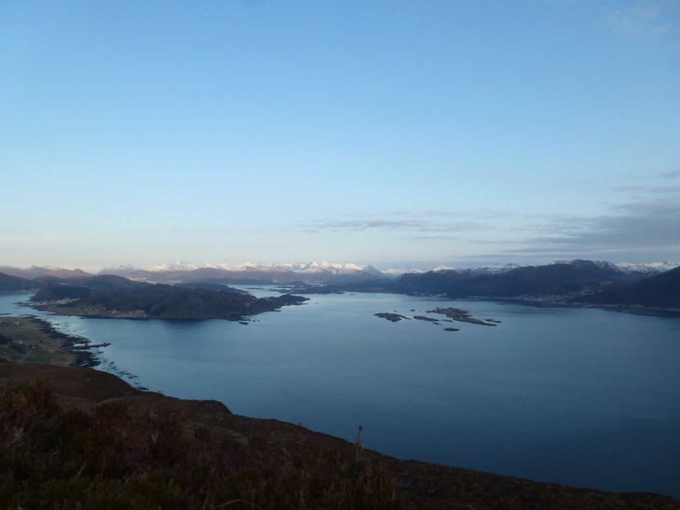
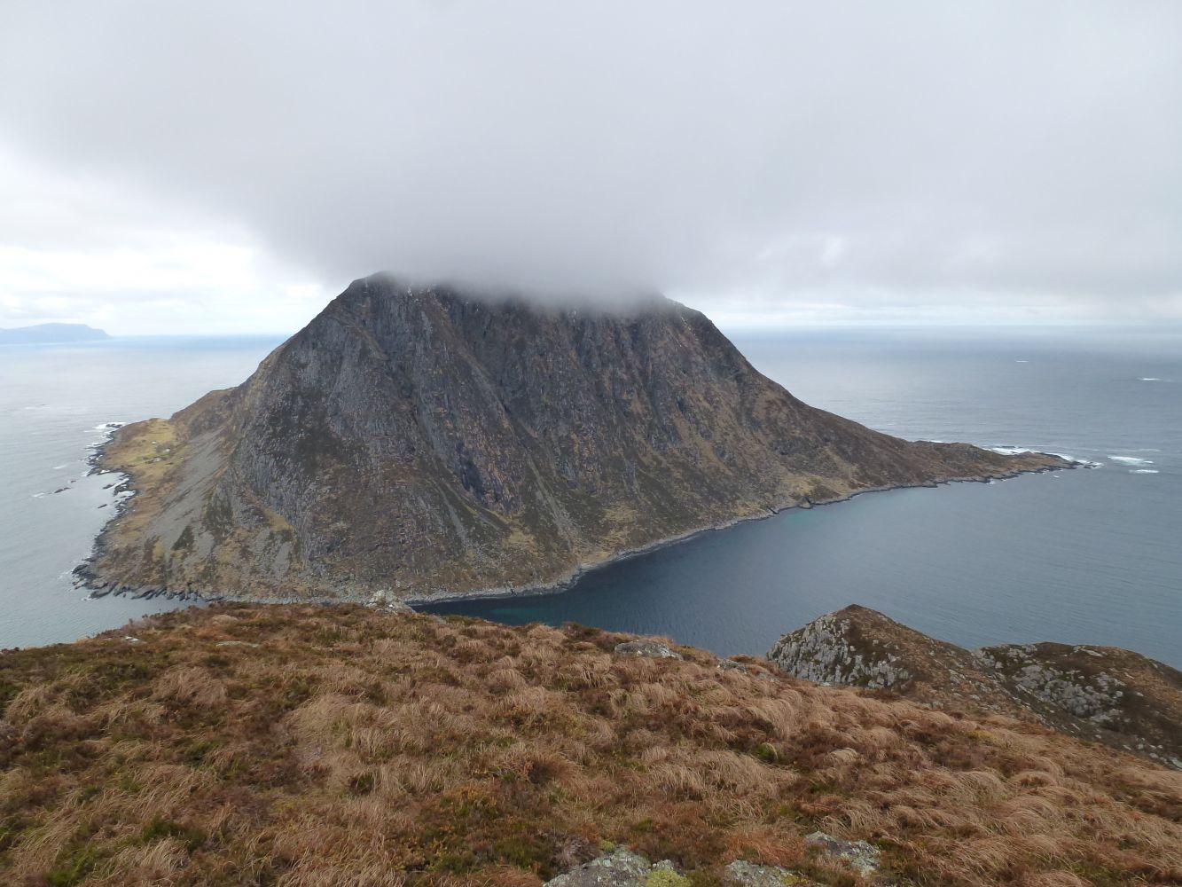
This trail runs through various types of terrain and rewards you with a fantastic view over the mountains of Sunnmøre.
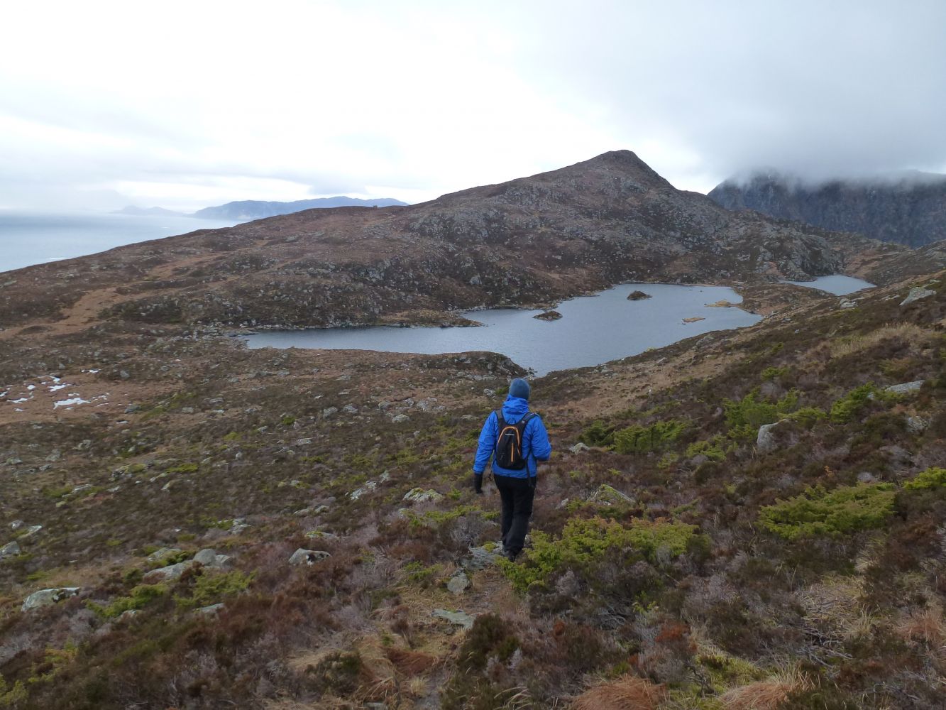
The trail runs through a forest and over a plateau. It continues down to Lake Lemevatnet before the final kilometre along the ridge and up to the hilltop. The trail is signposted and marked with sticks with red paint on top.
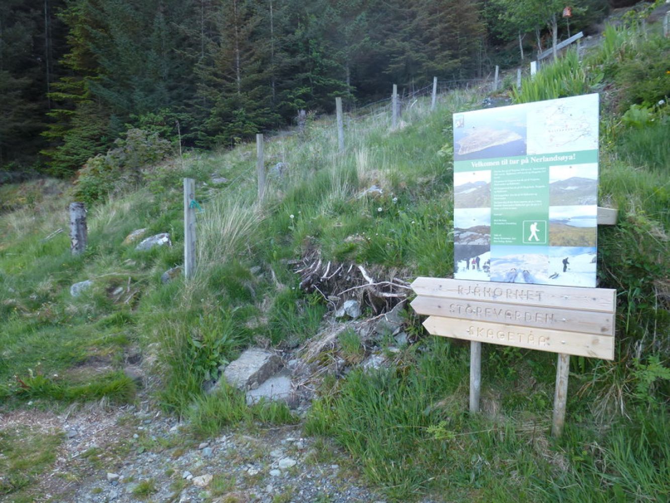
The trail starts at the information sign by the end of Mjelthaugvegen Road. There is a large car park next to Nerlandsøy Chapel that lies 200 m north of the starting point (direct distance).
Park your car by Nerlandsøy Chapel or at the end of Mjelthaugvegen Road (only a few parking spaces).

 Driving directions
 Route data