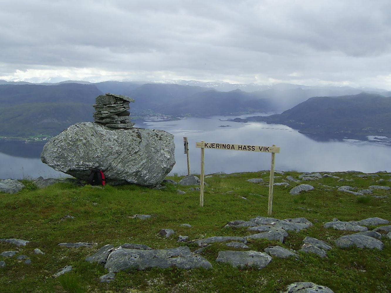
Enjoy the View From Kjerringa Hass Vik
Vanylven
This is a relatively short mountain hike with a beautiful view of the Vanylvsfjord, Nordstranda, and Fiskå. The trail follows a forest road / mountain road before changing to a path through gentle terrain. There are picnic areas with benches and tables on every third of the road.
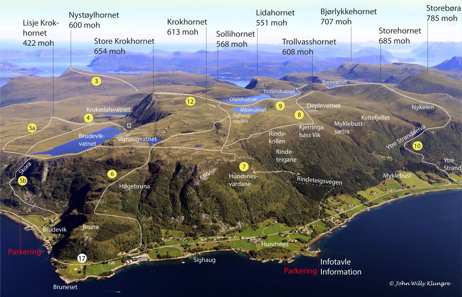
Follow the road up from the car park at the timber stacking area. About halfway through the ascent, the road splits in two. Turn left. There are many picnic areas with tables along the way. Once you reach the end of the road, turn right onto a signposted and marked path. The path is mostly clear and easy to follow, and it involves less climbing than along the gravel road. The path mostly follows the mountain edge until it reaches the viewing point called Kjerringa Hass Vik. The hike to Kjerringa Hass Vik takes between 1.5 and 2 hours.
The starting point of the trail is an area for stacking timber 6 km west of Fiskå. Here, there is plenty of parking space and a trail sign. There is also a board with a map, photos, and information about other trails in the area.

 Driving directions
 Route data