Norsk

Sildvolnesåsen

Kristiansund

The trail at a glance

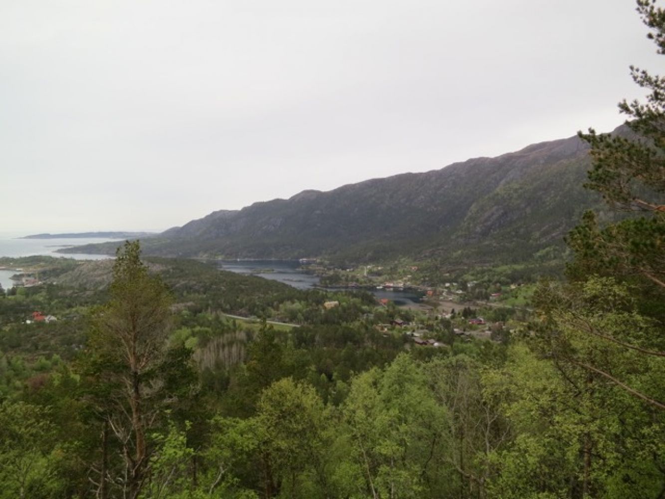
This trail will take you into a wonderful virgin forest. Children of all ages are going to love walking in this area.Outdoor area Gjengstøbukta — Sildvolneset, a beach strip along the western side of the island of Frei. The area is hilly and mainly covered with pine forest, but also with sections of broad-leaf forest. It is an attractive outdoor area with good fishing spots along the coast.Biological diversity: Rich hardwood forest. There is a large area of hazel forest on the southwestern hillside at Sildvollneset. Dominating tree types are pines and hazels. Additionally, there are aspen, birch and rowan trees. Woodruff and wood vetch are among the locally occurring plants. For more information, please go to http://dnweb12.dirnat.no/nbinnsyn/asp/faktaark.asp?iid=BN00013373Vinteroppholdssted for hjort. See: http://dnweb12.dirnat.no/nbinnsyn/asp/faktaark.asp?iid=BA00059466

Route description

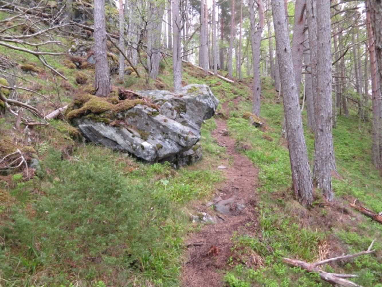
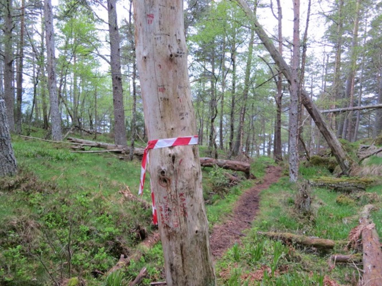
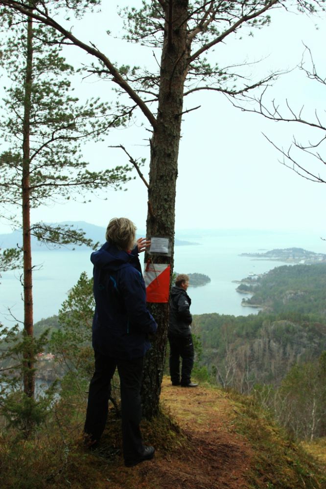
The trail starts from Flatøyveien (Møst) where you park your car. Please read the description of the starting point.Walk along Flatøyveien road for the first 50 metres and you will see a sign that reads “Sildvolnesåsen” leading up to a meadow. Follow the clearly visible road across the meadow as it takes you to a well-trodden path. Follow this path. You will soon come to a fork in the path. If you go straight ahead, you will follow a curve around the Sildvolnesåsen hill and come up towards the top. If you keep to the left, you will climb up a steep hill straight to the top. The path that lies straight ahead is somewhat easier, but longer. The looped trail is very nice.The path is marked with red-and-white bands which are clearly seen. There is a great viewpoint and a trail postbox at the top of the hill. You will get a view of both Averøya and the centre of Kristiansund.

Access and parking

The trail postbox is located on the northeastern side of the Sildvolnesåsen hill on the island of Frei. The trail starts at the car park on the right side of Flatøyveien road (below Litlevik). If you are driving from the centre of Kristiansund, follow National Road 70 (Rv70) towards Krifast. After Storbakken, follow the sign marked “Møstavågen” to the right. Drive past the Endreset Besøksgård farm on Møstveien until you come to the junction with the sign for Møst. Take the turn to the left and drive for 50 metres. You will see a car park on your right-hand side. If you are coming from the direction of Krifast, drive for 700 metres after the tunnel and follow the sign to Møstavågen to the left. Then follow the route described above.

You can park your car on a private plot along Flatøyveien road. You will find it 50 metres down the road after the junction with the sign to Møst. No parking fee applies.
Hiking route
Blue
Elevation
184 m
Duration
1 t. 55 min.
Highest Point
162 masl
Mobile coverage

Map route

Surface type Distance
Asfalt ,1
Sti 2,8

Public transport

Bus. Please see http://www.177.no. There is a bus stop in Møst.

Map

Norge map series 103 Kristiansund 1:50 000
Driving directions

API endpoints

Route data GeoJSON