Norsk

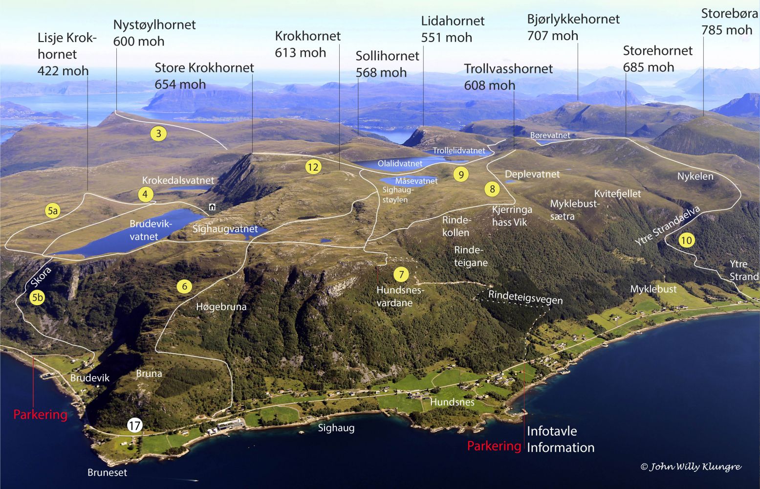
Sighaugstøylen – Store Krokhornet – Route 12

Vanylven

The trail at a glance

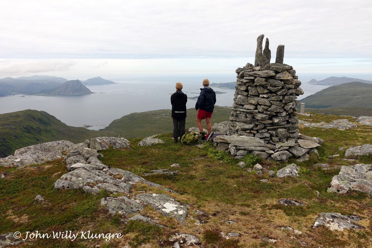
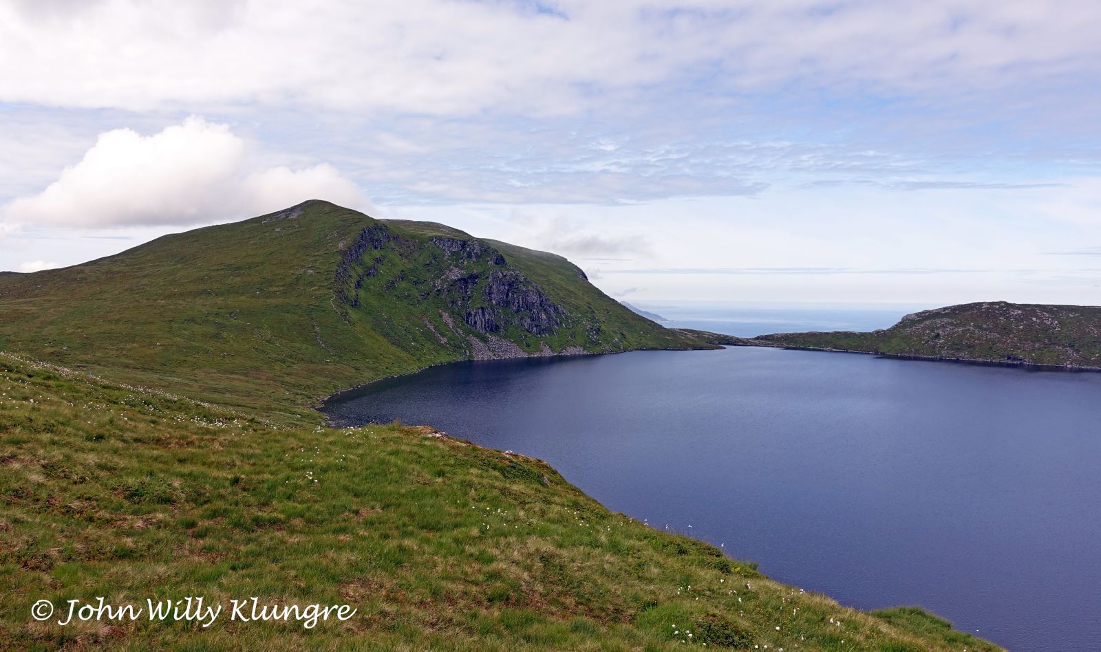
This trail follows a solid gravel road for the first 400 metres and a well-defined path for the rest of the time. You will pass Sighaugstøylen and turn off from Route 9 by Lake Måsevatnet. The path up to the peak of Store Krokhornet (654 m a.s.l.) is dry, with a rocky surface through the final section. You will get a scenic view from the peak, especially to the west. If you are looking for a trail with less elevation, start walking from the mouth of Lake Børevatnet.

Route description

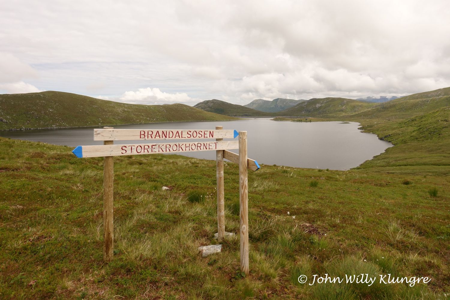
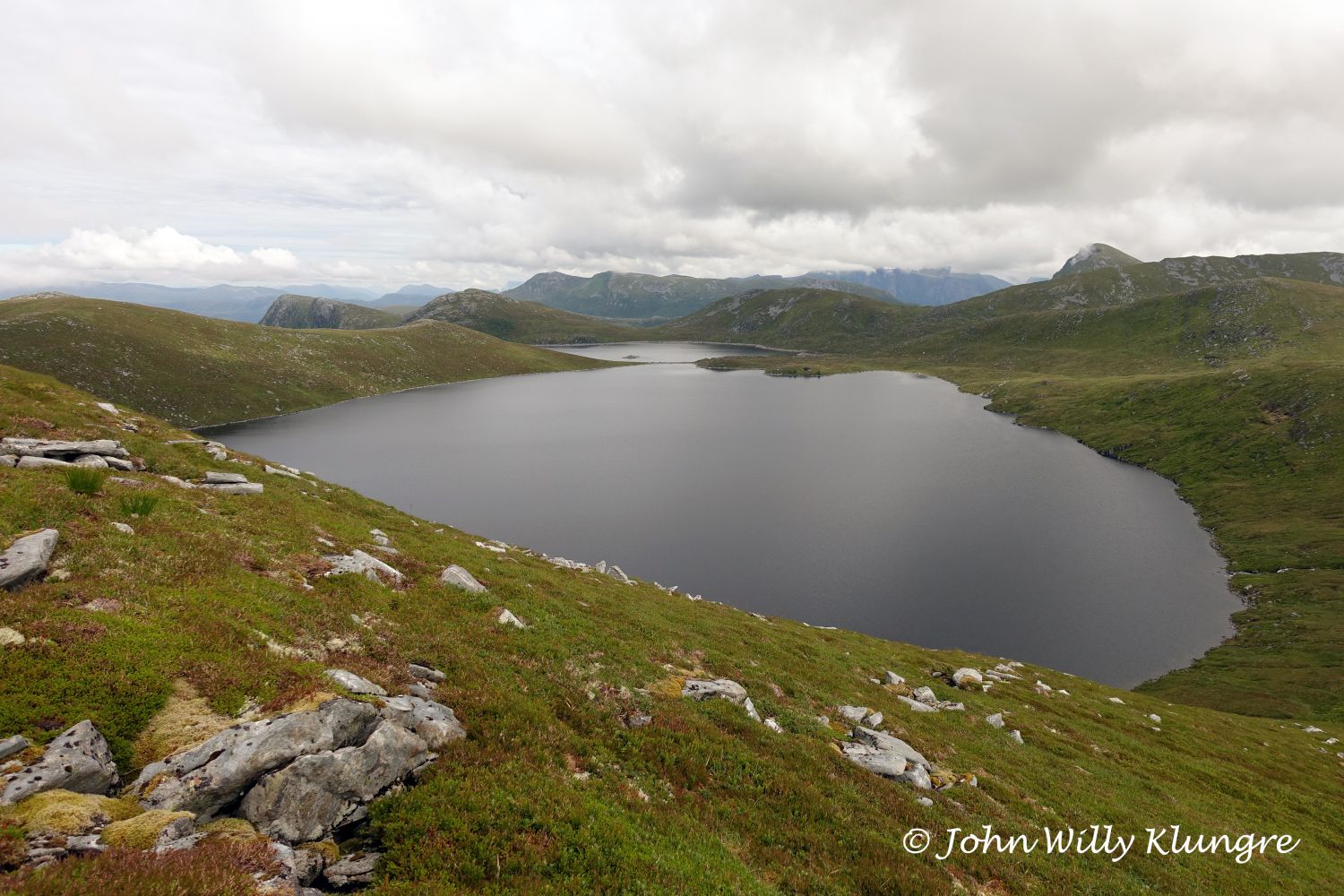
Follow the road up from the timber stacking area. About halfway through, the road splits in two. Turn left. When you reach the end of the road, it changes to a path and the terrain flattens out more. Feel free to visit Hundsnesvardane, a scenic viewing point at the end of the road: https://morotur.no/tur/Hundsnesvardane. After the end of the road, you will come up to the mountain plateau. From here, follow the same marked and signposted route as described here: https://morotur.no/tur/Hundsnes-Brandalsdemningen. About halfway between the lakes Måsevatnet and Olalidvatnet, turn off northwest and walk up to Store Krokhornet. The start of the ascent is signposted, and the path here is solid and clearly defined despite not being marked. The final section is a rocky slope. For an easier version of this trail, start walking from the dam at Lake Børevatnet. In that case, the starting point is already at the height of 380 metres above sea level, which means there is less elevation gain.

Access and parking

The starting point of the trail is an area for stacking timber 6 km west of Fiskå. Here, there is plenty of parking space and a trail sign. There is also a board with a map, photos, and information about other trails in the area.
Hiking route
Blue
Distance
5,52 km one way
Elevation
617 m
Duration
4 t. 20 min.
Sesong
Spring, Summer, Autumn
Highest Point
643 masl
Signage
Both signed and marked
Mobile coverage
Partially

Map route

Surface type Distance
Grus 4,5
Sti 5
Ingen sti 0,5

Map

På tur i Vanylven (Eng. Hiking in Vanylven) – can be purchased at local shops and petrol stations.
Driving directions

API endpoints

Route data GeoJSON