Sandvikdalen – Hiking Trail from Sørbrandal to Sandvika
Vanylven
Oppdatert 16.05.2022
The trail at a glance
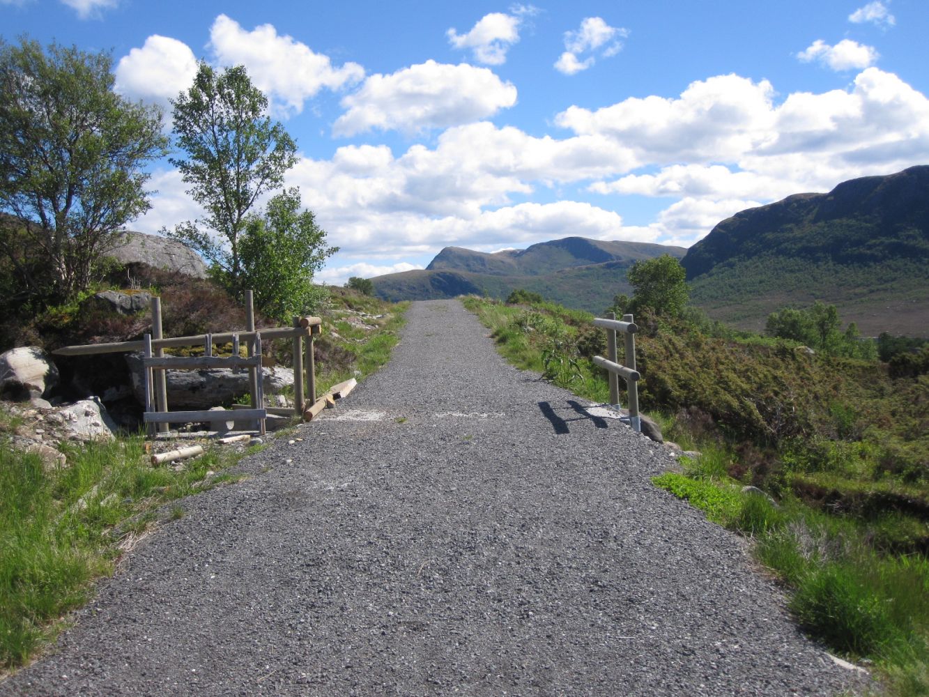
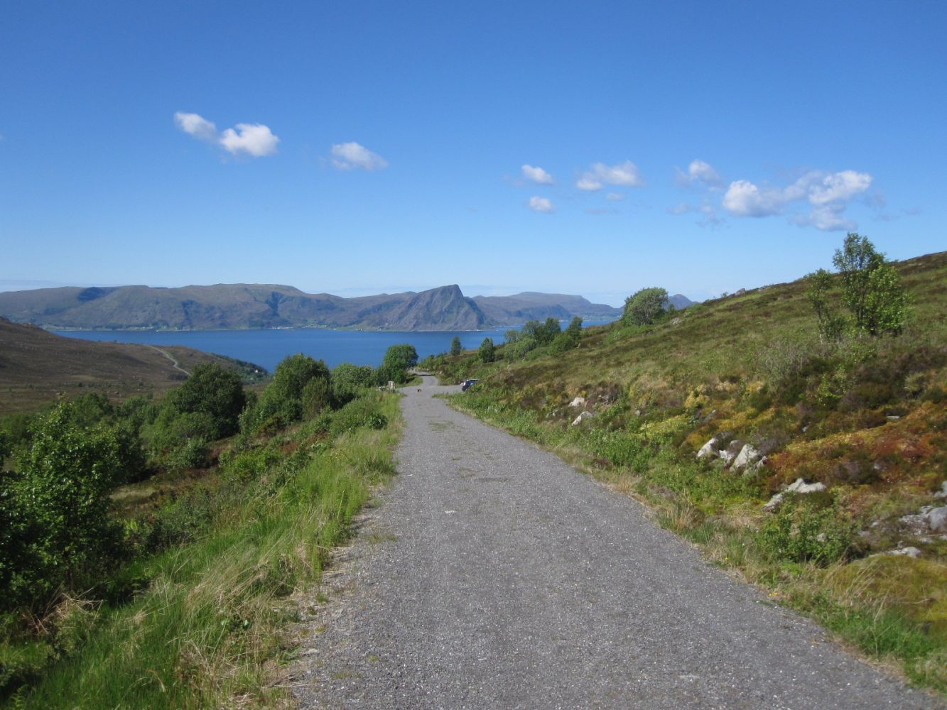
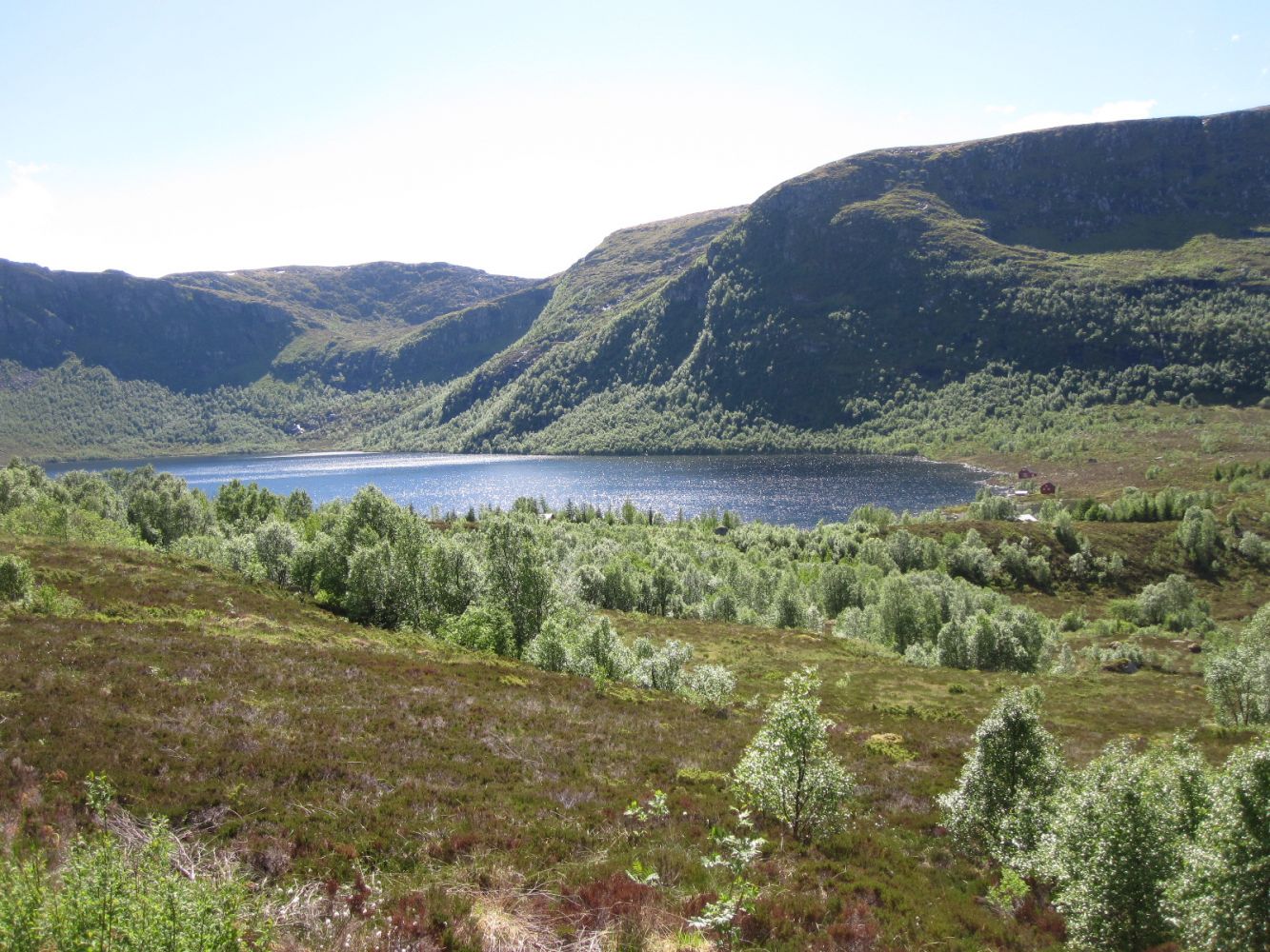
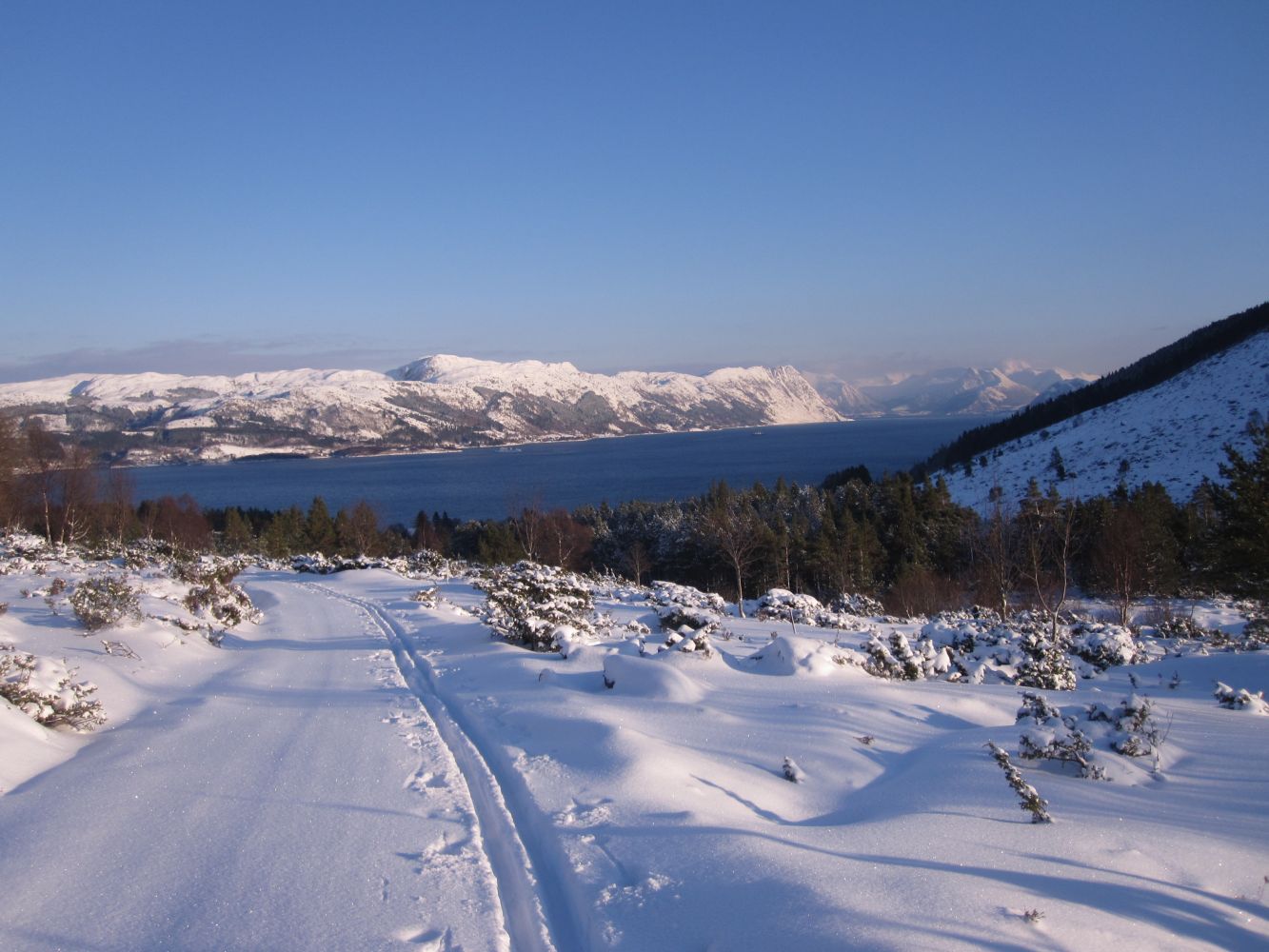
This hiking route is easily accessible to everyone, whether you are pushing a wheelchair, running, cycling or skiing here in winter. On the side of Sørbrandal, you will get a great view of the inner part of Rovdefjorden and the Sunnmørsalpane mountain range. Once you are over the highest point of the road, you can enjoy a spectacular view of the mouth of Vanylvsfjorden and the Stadtlandet Peninsula.Parts of the trail follow the river that flows from Lake Sandvikvatnet. If you are lucky, you might see a deer crossing the valley or an eagle soaring in the sky above you.
Route description
In Sørbrandal, take the road up the hills near the assembly house on the western side of the river. Drive until the end of the asphalt road and park your car there. You can also park down in the village next to the bridge over the river. The trail starts in gentle terrain. Then it starts climbing uphill with flatter sections in between. You will follow a wide gravel road the entire time. There are many picnic areas with tables and benches along the way.If you are coming from Hakallestranda, drive off the main road in Hola. You will see the sign for Sandvikdalen there. Drive to the car park in Sandvikdalen at the height of 240 m a.s.l. (You can also go to Nystøylhornet from here) The hiking path begins at the end of the car park. The final section of the trail is a toll road.
Access and parking
On the side of Hakallestranda, drive up Sandvikdalen until you reach the car park before the boom gate. The toll fee is NOK 30.
From Sørbrandal, drive up the road near the assembly house. Park your car after about 800 metres.
Hiking route
Green
Distance
7,59 km both ways
Elevation
205 m
Duration
2 t. 30 min.
Sesong
Winter, Spring, Summer, Autumn
Highest Point
248 masl
Signage
Signed
Map route
Other
The trail is suitable for wheelchair users. On a manual wheelchair, you will need an assistant in good physical shape. The gravel surface is slightly loose in some places.
Map
Vanylven Hiking Map can be purchased at local shops in Vanylven Municipality.

 Driving directions
 Route data