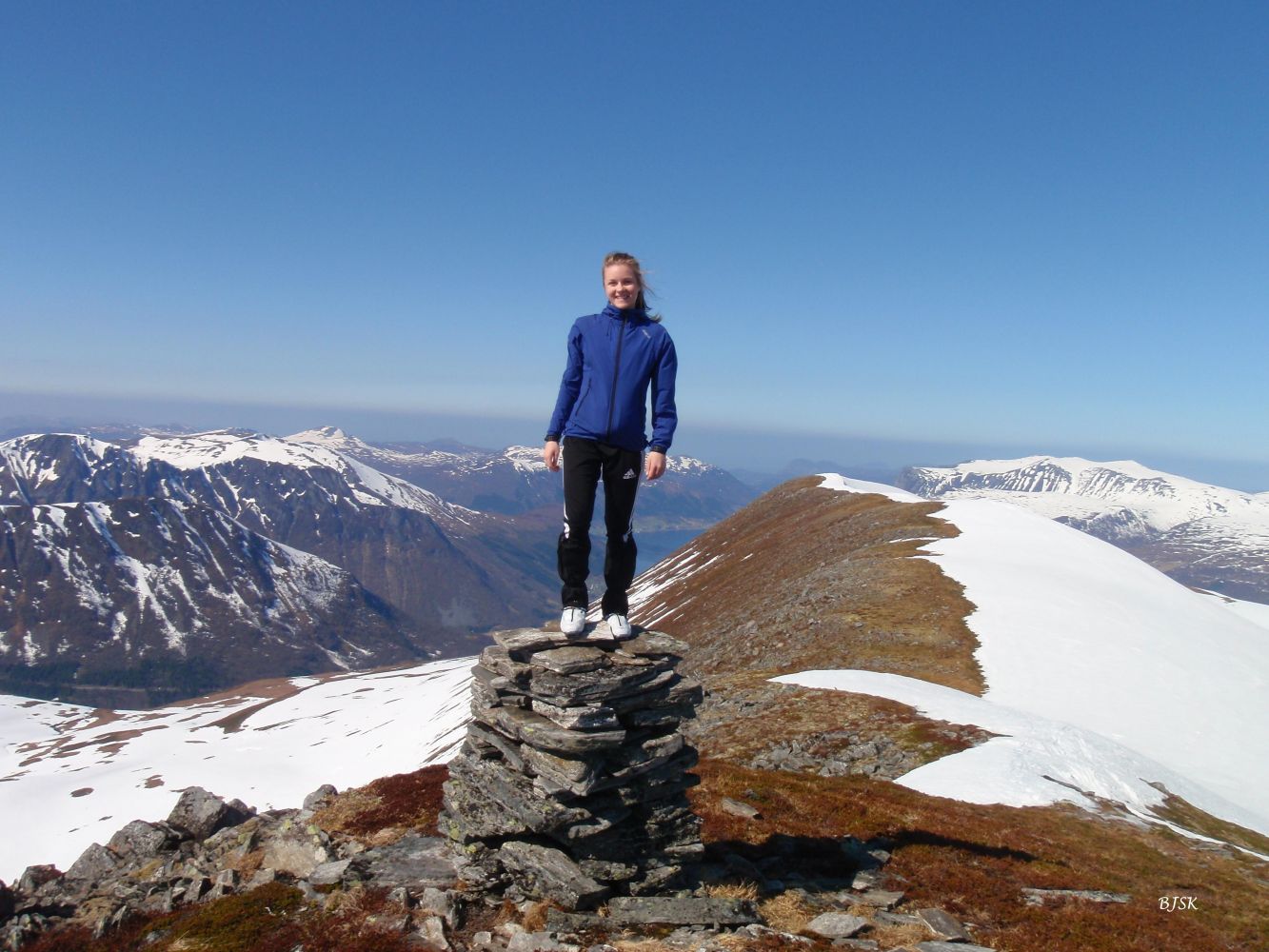
Sandfjelltua is one of Vanylven’s 1000-metre-high peaks. It offers a scenic view of other mountains in Vanylven, including Blæja, which is the highest. You will also see the mountains of Volda and Nordfjord. The section from Sandfjelltua down to Sandfjelldalen offers one of the finest downhill slopes in Vanylven, about 350 altitude metres with a 20 to 30% incline. The Syvde Sports Association (Syvde IL) has a trail post on the peak.
The ski trip to Sandfjelltua starts from Nordalen. Follow the mountain road for about 3.3 km towards Lake Kvanndalsvatnet. About 500 m before the lake, turn right up the mountainside towards Lake Skoravatnet. When you come up to the mountain edge before Lake Skoravatnet, you will see Sandfjelltua right opposite. You can ski either on the south or the north side of Lake Skoravatnet and go over the next ridge at the lowest point. Cross Sandfjelldalen and get started on the final 350 altitude metres to the top. It can be useful to ascend via the lowest point between Sandfjellegga and Sandfjelltua and follow the ridge for the last few metres to the top. As the mountain road gradually becomes free from snow in spring, you can drive further up, which will make your ski trip correspondingly shorter. In late spring, it can be difficult to cross the river in Sandfjelldalen. In that case, you can go to Lake Myrkevatnet first and cross the river there. The mountainside up to Sandfjelltua is quite steep, so most people choose to ski upwards in a zigzag. Alternatively, you can follow Sandfjelldalen north, come up between Nyklen and Sandfjellegga, and continue along the narrow ridge until you reach Sandfjelltua. This trail is a bit longer but not nearly as steep as skiing straight up the mountainside.
Take County Road 652 (FV652) to Syvde, turn off to Nordal on the northeast side of the centre of Syvde, and drive into the Nordalen Valley for as long as possible.
Park your car at the furthest point of Nordalen. Alternatively, there are parking spaces along the mountain road.
Skiing route
Black fjellski
Duration
3 t. 40 min.

På tur i Vanylven (Eng. Hiking in Vanylven), M711 1119 II, Sunnmorskart.no
 Driving directions
 Route data
GeoJSON