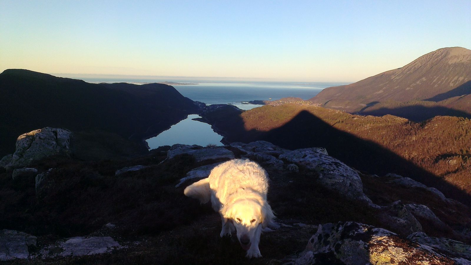
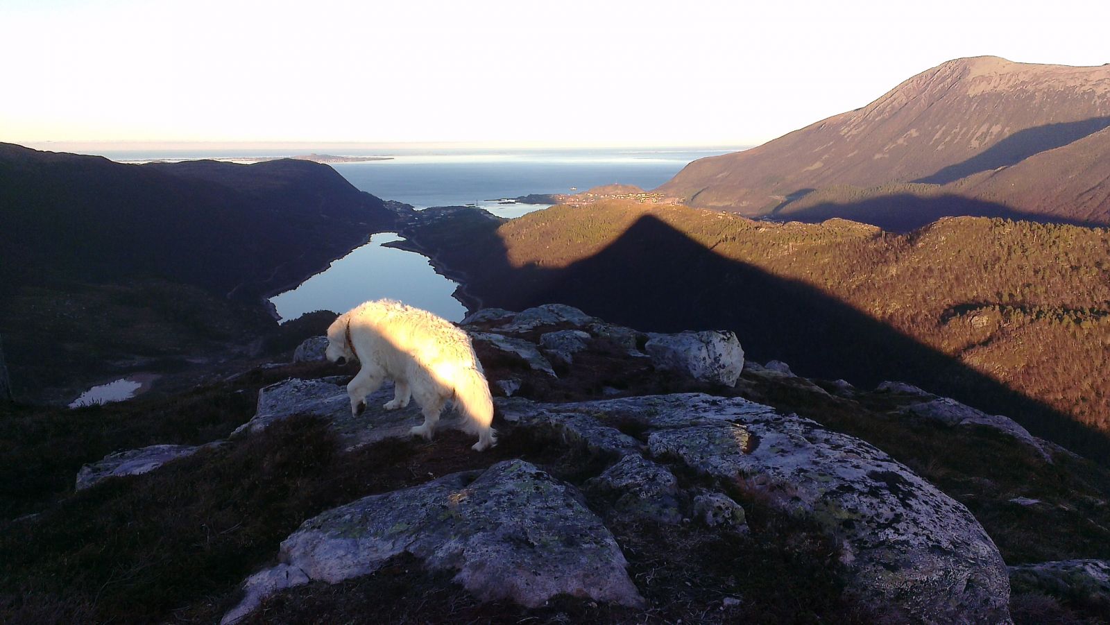
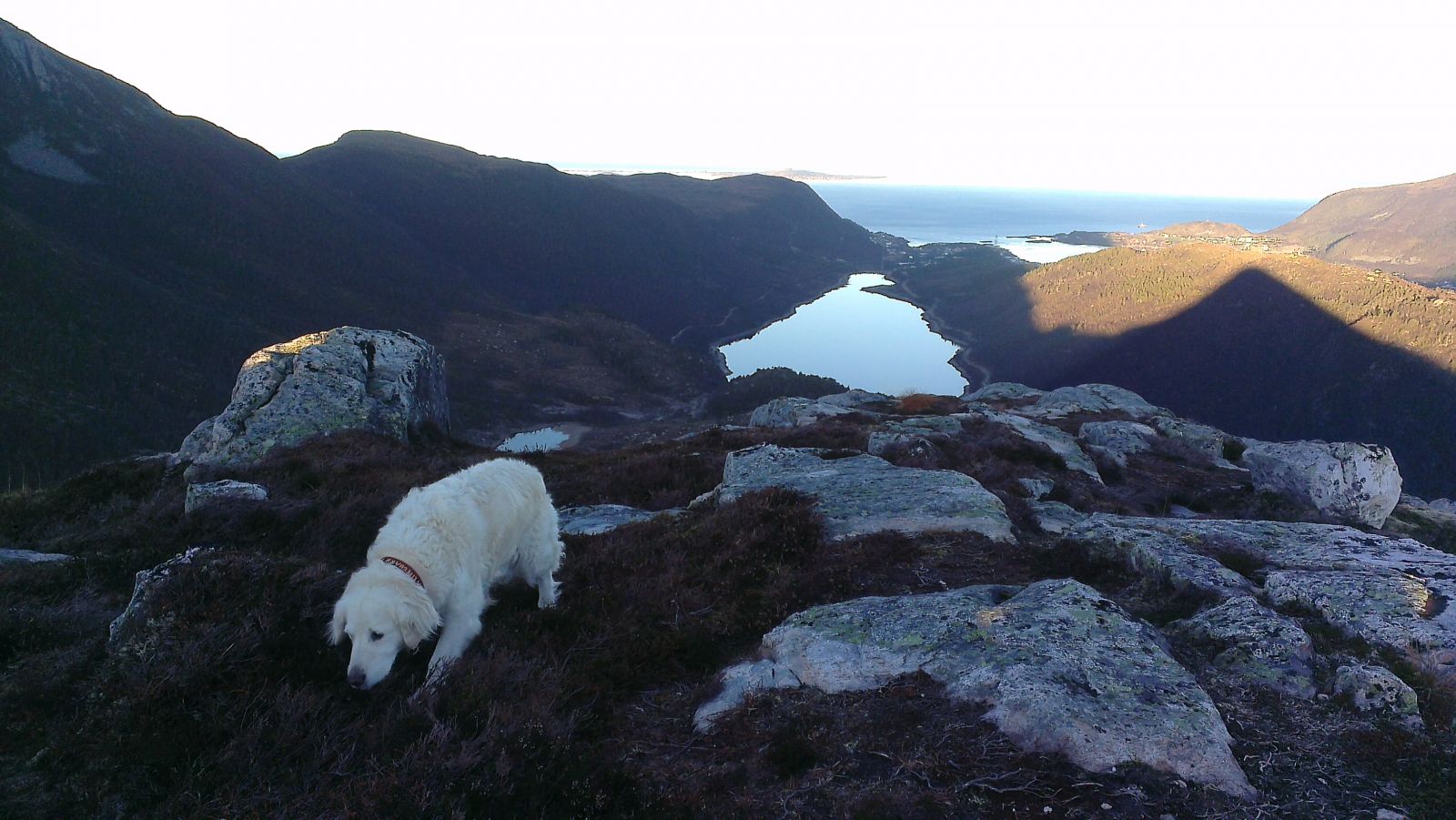
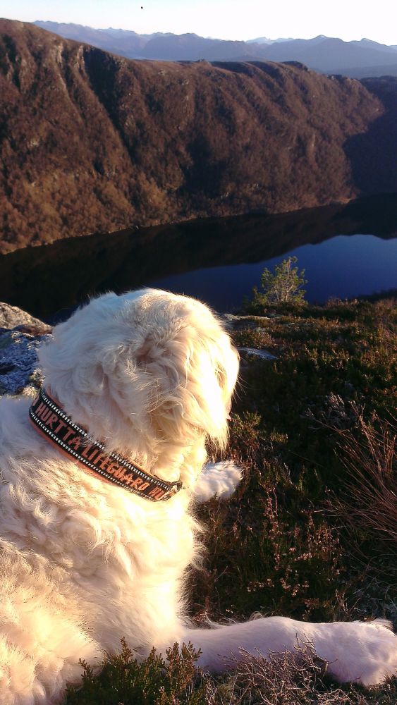
This is a nice walk through the Synnalandsdalen valley along the lake. You will walk past the Gjersetdalen Wilderness Area and the Red Cross Cabin before climbing up to Mount Samhjartet. On your way through the Synnalandsdalen valley, you will get a great view north towards the Nordøyane islands, Samfjorden, and Helland with Mount Hellandshorn. The view of Grytafjorden in the south with the Sunnmørsalpane in the background is also fantastic. The trail checkpoint is at the top.
Route description
Starting from the car park in the northern part of Lake Synnalandsvatnet, walk south along the lake. You can choose either side of the lake. From the end of the lake, the forest road goes further south in the direction of the Gjersetdalen valley. After passing the Gjersetdalen Wilderness Area and the Red Cross Cabin on your left, go to the highest point along the road (Høgstølen). The fastest way to the top goes steeply up from here through the forest (poorly marked path). Alternatively, you can walk for about 1 km further and then follow the well waymarked path towards the top walking up along the ridge from the south. This route is less steep than the first alternative.
The top of Mount Samhjarte
Access and parking
Drive from the centre of Brattvåg up to the Fjellbu residential area and leave your car at the car park near the dam in the northern part of Lake Synnalandsvatnet.
There is a car park near the northern part of Lake Synnalandsvatnet.

 Driving directions
 Route data