Saksa / Blåfjellet, 902 m a.s.l.
Heim
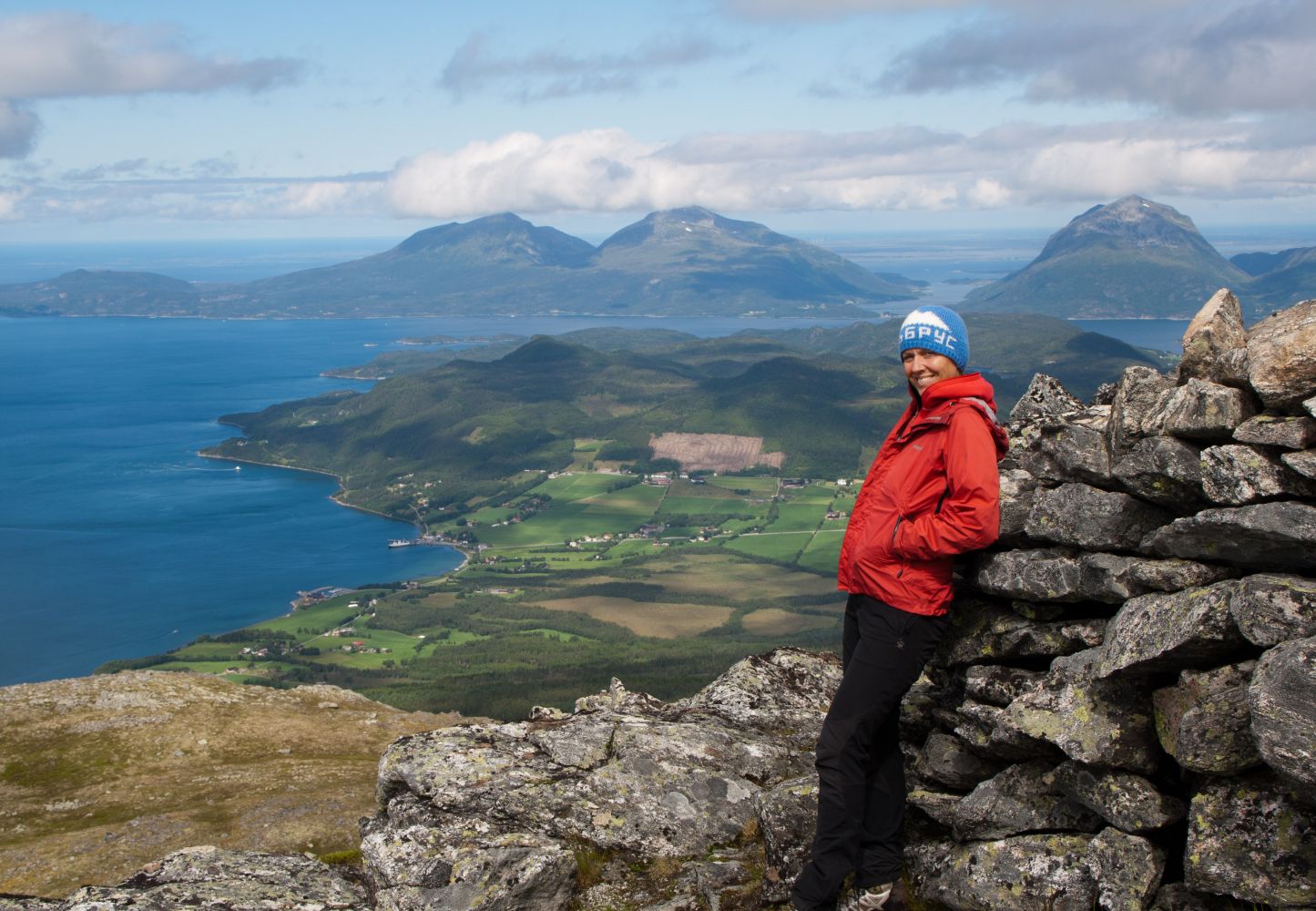
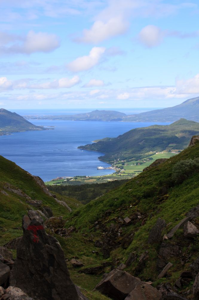
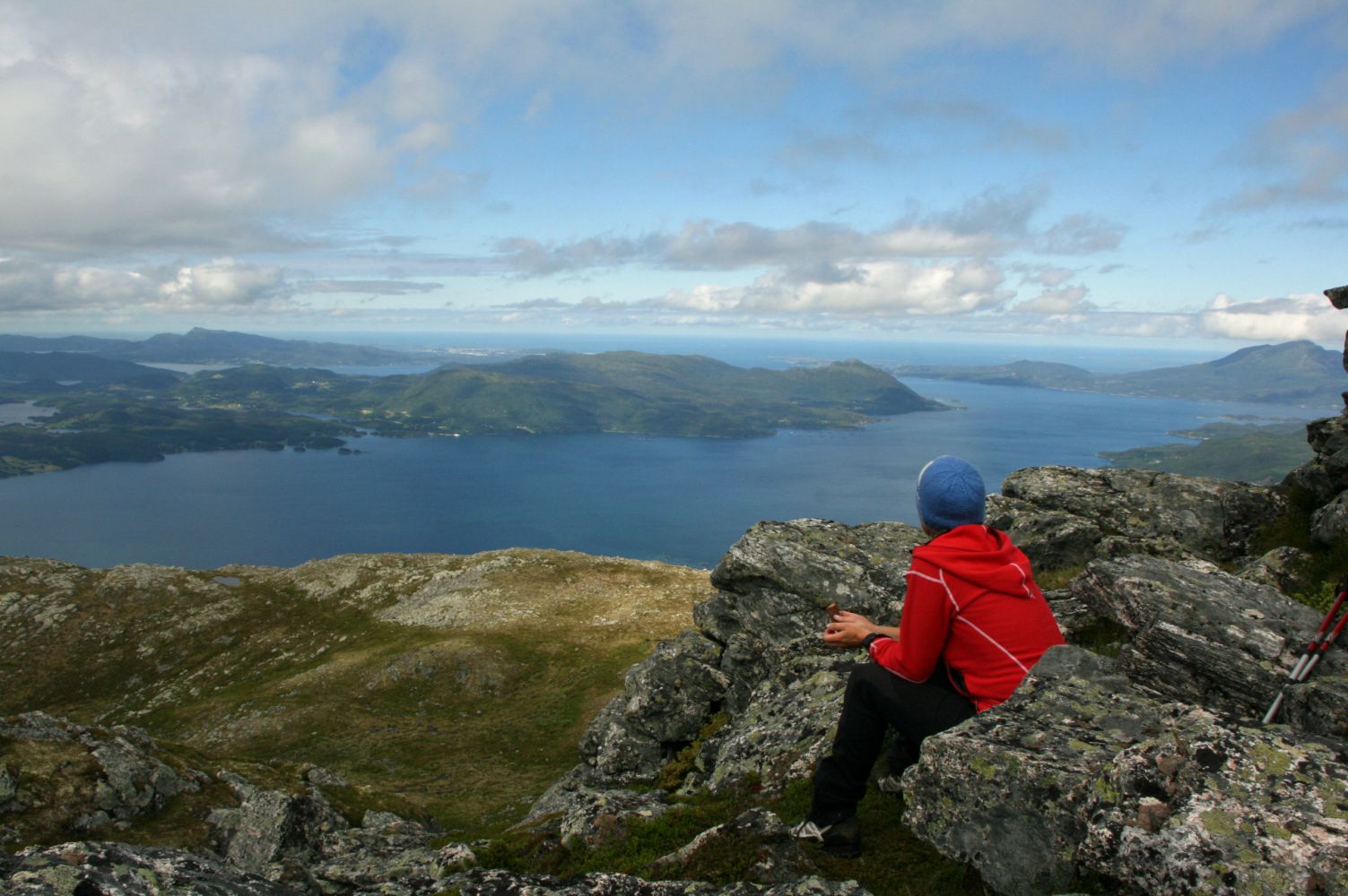
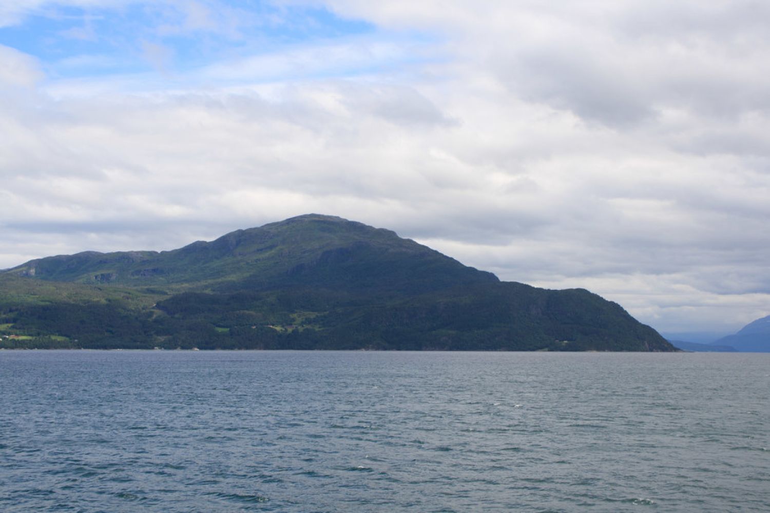
Mount Saksa (Blåfjellet) lies between Bøfjorden and Halsanaustan in Halsa municipality. With its 902 metres above sea level, Mount Saksa is probably the greatest viewpoint in Halsa municipality. From here, you will see ferries slowly crossing Halsafjorden which lies 900 metres further down. The mountains on the islands of Tustna and Stabblandet will be visible in the north. In the south you will get a glimpse of the Trollheimen mountains and the majestic Mount Sunndalsfjella.
The walk starts in Innreiten. Drive up to the gate which crosses the road and park at the designated area after you pass the gate (remember to close it properly). From here, start walking along the tractor road which will take you up to the foot of Mount Saksa. Follow the path uphill as it takes you through the birch forest, and then across some heathland and rocky slopes towards the top. The path is clear and well waymarked all the way up. The cairn with a Stikk UT postbox is located at the top of the mountain. You can also make this trail into a loop. Please see the separate trail description.
Turn in the direction of Innreiten after about 100 metres from Halsa Ferry Terminal. Follow the road for 2.6 km until you reach the car park marked with the Stikk UT! sign.
Duration
4 t. 25 min.

1421 III Halsa or tourist map Fjordruta.
 Driving directions
 Route data
GeoJSON