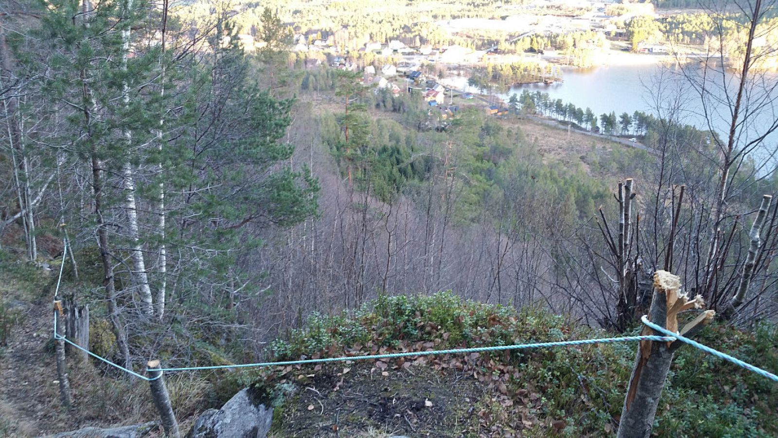
The trail to Saglimana involves some climbing, but it is largely accessible for the majority of hikers. The area offers diverse wildlife, and if you are lucky, you can spot roe deer and grouse along the way. A statue of Saint Christopher, the patron saint of travellers by land and sea, is at the trail destination.
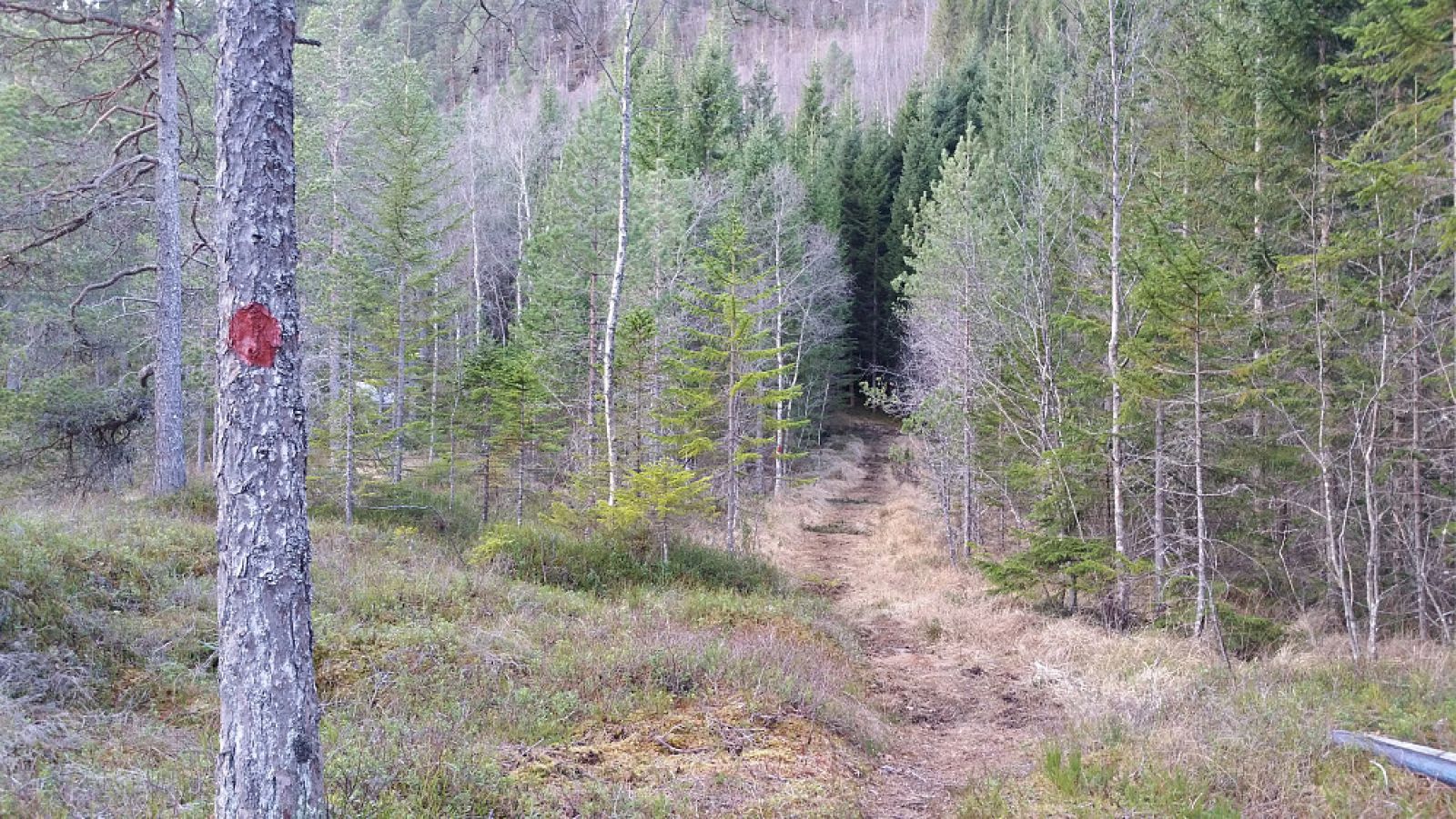
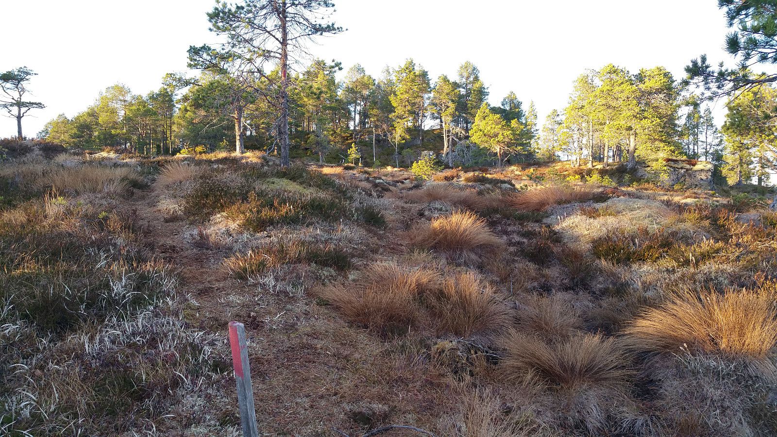
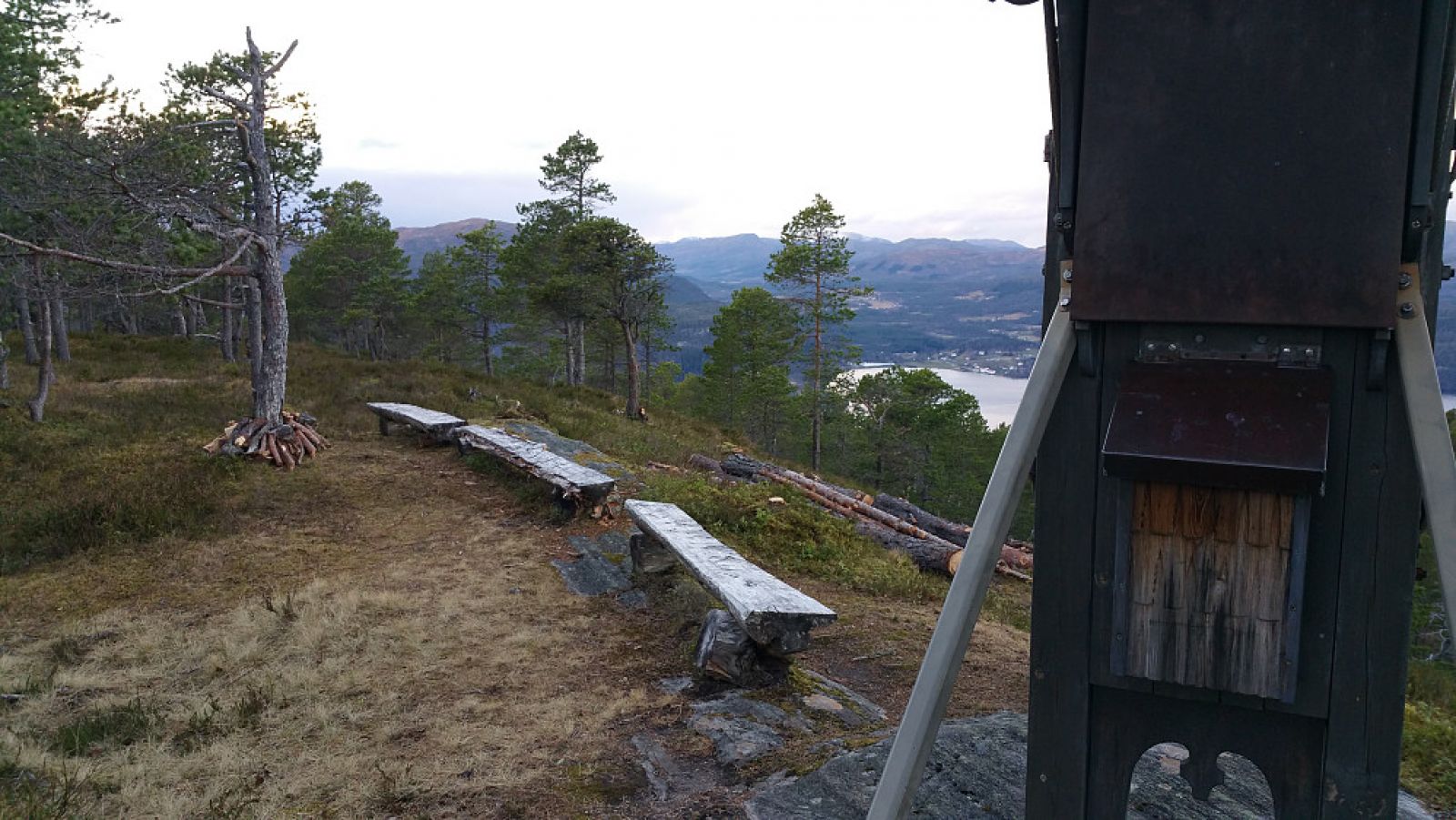
There are two paths to the top. After about 40 metres from the road, you can choose which one to follow. One path runs diagonally to the south, while the other one runs diagonally to the north. Follow the path that runs south up along the hillside. It is the shortest and perhaps the most beautiful option. Follow a well marked path as it takes you through the large forest area that opens up slightly when you start approaching the top. There is a cairn and a nice rest area with benches at the top. On your way back, you can choose to follow the other path for a change.
Drive along National Road 70 (Rv 70) to Saghøgda. At the mouth of the river, you will see a turnoff that goes over the bridge and takes you to the car park. The starting point of the trail is the car park slightly south of the last residential building and the beginning of the path. The car park is signed.

 Driving directions
 Route data