Around Langøya and Årsundøya
Tingvoll
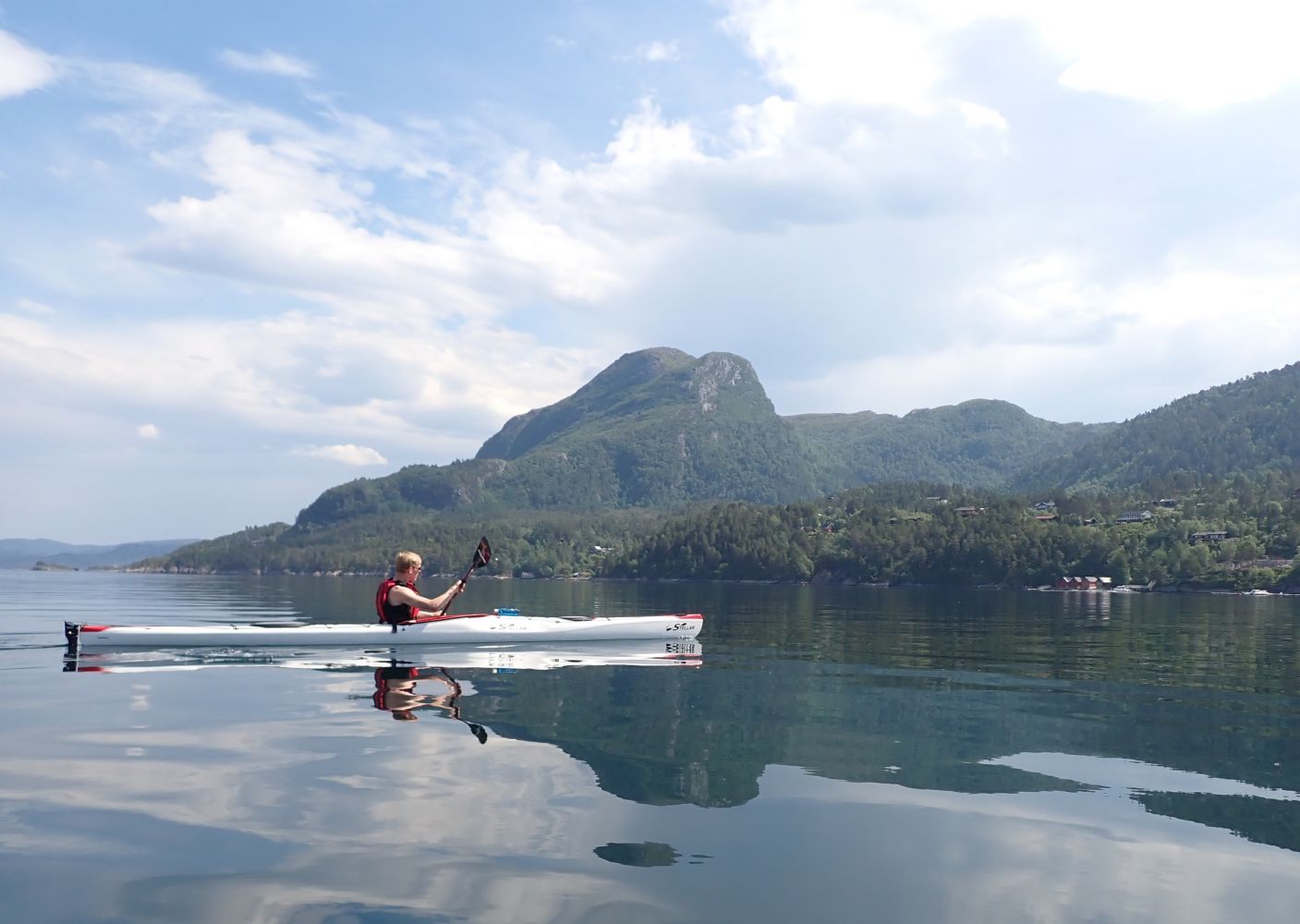
This round-trip is a route for an afternoon trip, but you can also camp with tents on several of the lovely little beaches along the way. On the west side of Årsundøya is a great public recreation area with a beach, campfire pits, waste bins and toilets. You can also see the remains of a fort from the Second World War.
From Finnvik boatyard, you can follow the route across the sound to the east tip of Langøya. If you follow the south side of the island westward, you will be paddling along the shoreline with a varied pine and deciduous forest. The beach is rocky, but there are a few smaller sandy beaches here and there where you can go ashore.
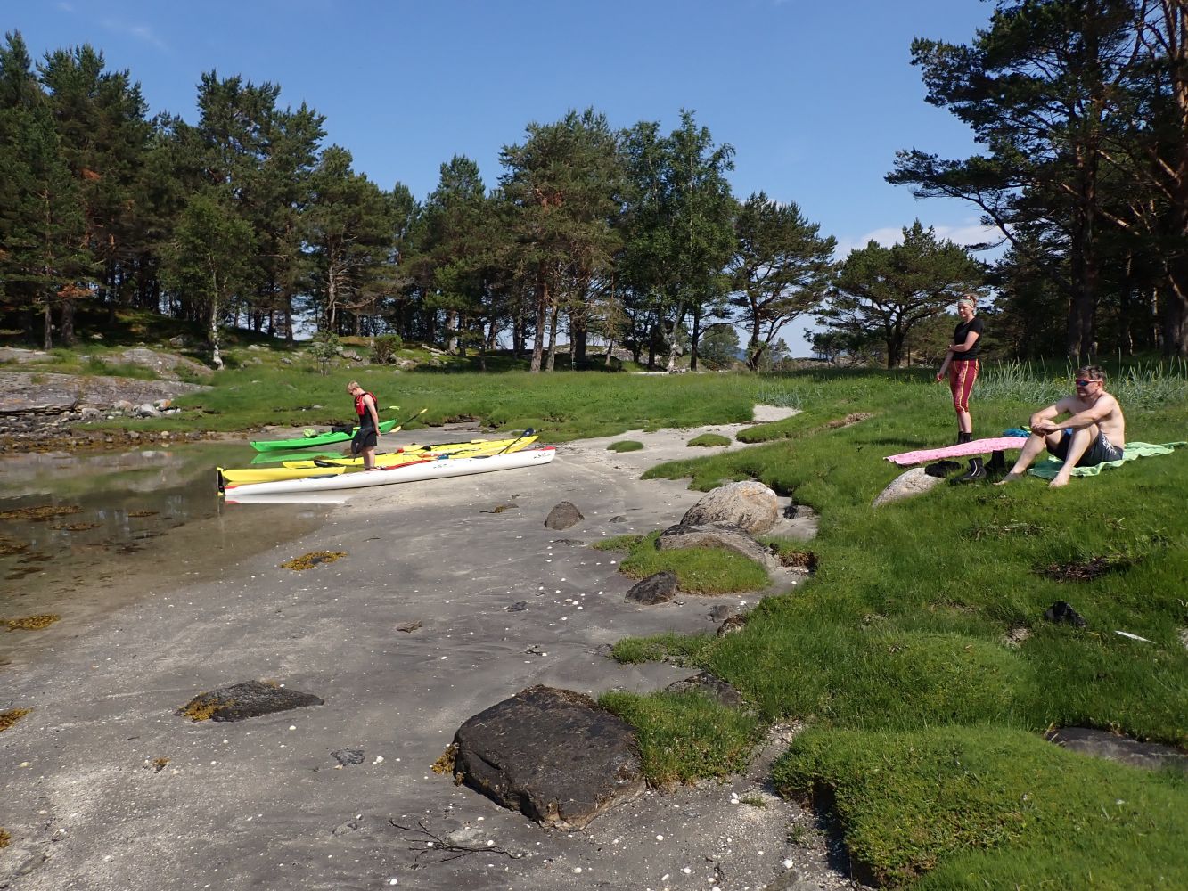
After about three kilometres, you will have arrived at the 200-metre sound over to Årsundøya island. Along Årsundøya the shoreline becomes lusher with deciduous trees and flowers. Just above the little island of Rotmalen is a small beach suitable for swimming and with room for a tent.
Round the lighthouse at the west point of Årsundøya before continuing northeast to the public recreation area established here. This has a nice beach and grassy fields. You can pitch a tent and there are many trees for hanging a hammock. There are also public toilets, waste bins and a campfire pit. A good place for a short stay at the beach or for spending the night. From here, you can also visit the ruins of Årsund coastal fort built by the German occupying military forces during the Second World War. This was intended as a defence against ships entering Freifjord and Sunndalsfjord.
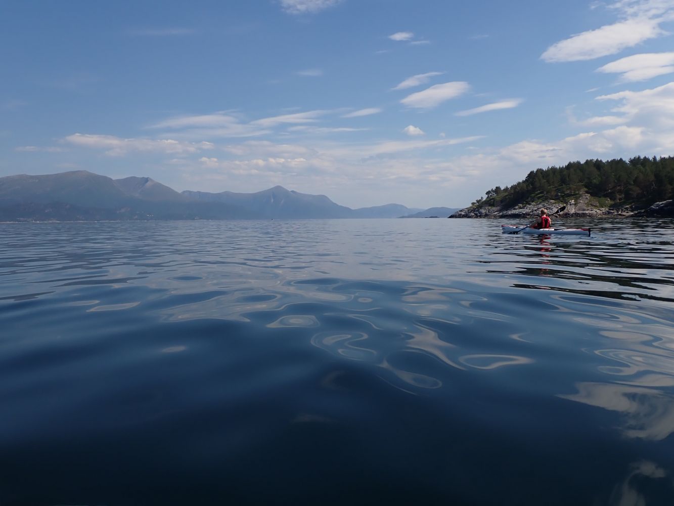
After the coastal fort, you can set off on the most exposed part of this paddling route. Talgsjøen fjord is just outside, and when heading north-northwest you may encounter some rough waves. This means that the rest of the route should be done when the weather is calm or with southerly winds. From the coastal fort and over to the east side of Årsundøya there are relatively steep cliffs, making it difficult to go ashore. When rounding the east point, you will arrive at Bukta, a sheltered bay, which is another good place to go ashore. Here there is a bench, and the landowner welcomes paddlers, although visitors are asked to show consideration when pitching tents.
You will then cross the sound between Årsundøya and Langøya again, a stretch of 500 metres. The smooth, sloping rock faces on the north side of Langøya are clear indications that this is an exposed area, although there are also some good places to go ashore. There is a little beach on the east side of Langøya you can visit before crossing the sound (400 metres) to the starting point of the route, the Finnvik boatyard.
The route begins at the old Finnvik boatyard where you can park at the site. There is a boat slip for kayaks. The owner asks for consideration when parking. Do not park in front of the building gates and don't block the boat slip. Remember not to leave any rubbish.
Distance
11,35 km one way
Duration
2 t. 50 min.

Sesong
Spring, Summer, Autumn
This route is best with easterly and southerly winds. Strong winds from the west and north on the north side of Årsundøya and Langøya may be challenging and cause swells from Talgsjøen. Keep an eye out for boat traffic in the sound between the islands and mainland.
 Driving directions
 Route data
GeoJSON