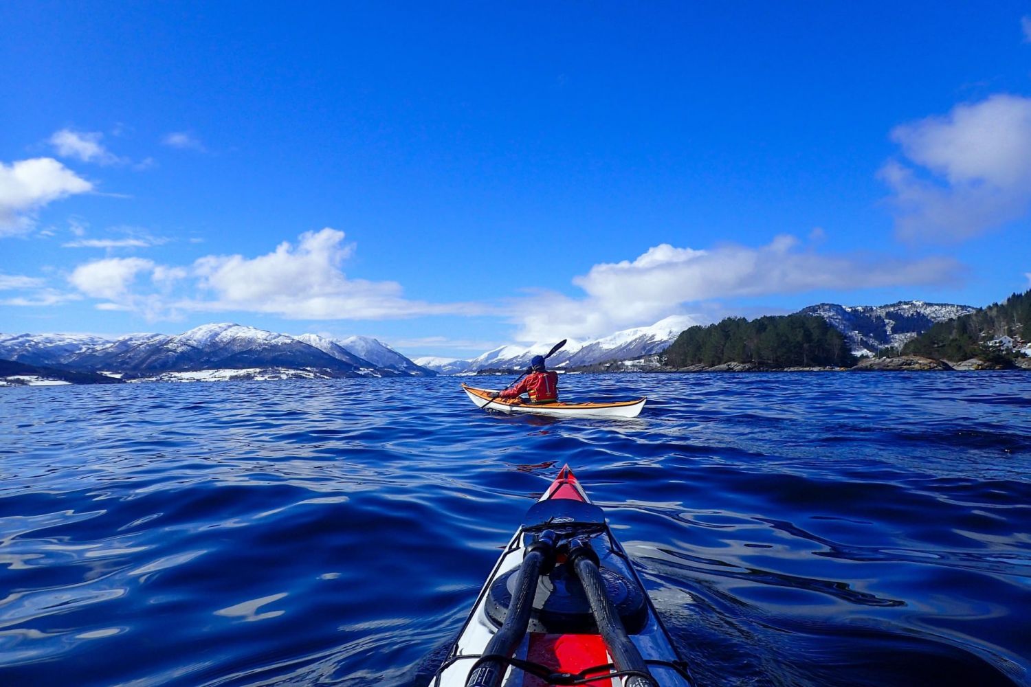
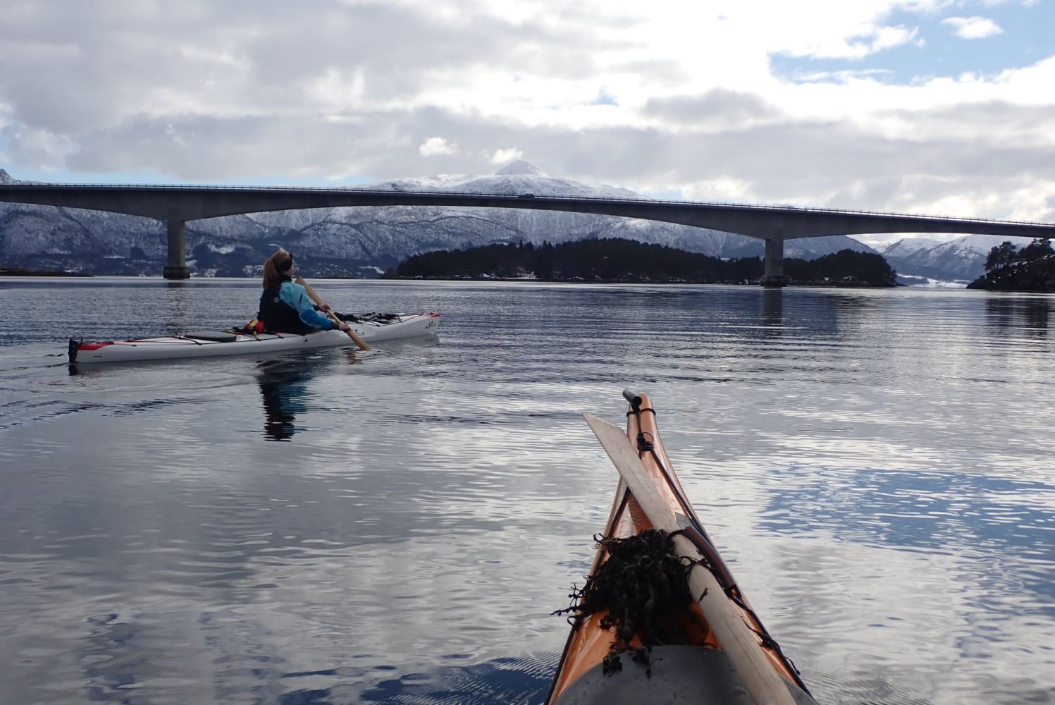
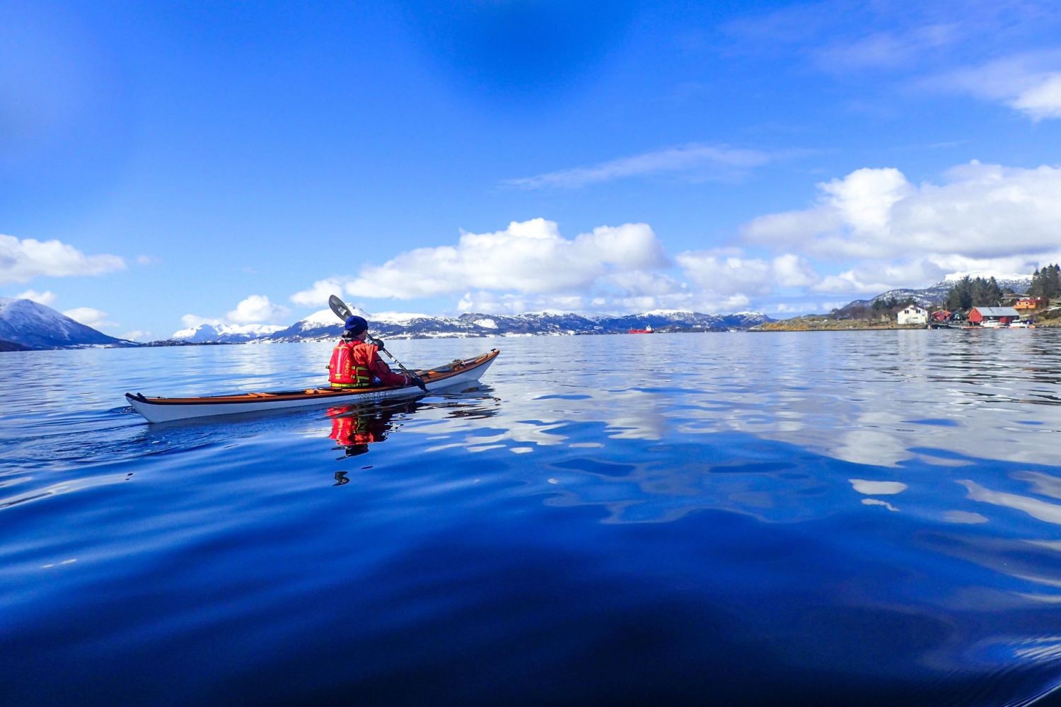
This is a paddling route where you can paddle close to land the entire way. You'll have the best conditions with easterly winds. This can be done as an overnight trip as there are some good camping spots to pitch a tent along the way. Along the route, you will pass and paddle beneath the Bergsøybrua bridge, which was once the world's longest floating bridge. This is now preserved by the Directorate for Cultural Heritage in Norway.
On this route, you will start the round-trip by paddling southward. The first part of the route is the same as the route around Karihavet. From the Nålsund channel, it is fastest to cross southward to Børkjeneset, preferably via Nastadholmen to make the crossing as short as possible. Continue south to Langsetvågen. To make this part of the route easier, it is best to follow the tidal water to ride the current. After passing under the bridge of the E39, continue in a southwesterly direction along the inside of Langøya towards Boksaspneset. At Boksapsneset, you can go ashore on a field of grass and heather, with trees that provide some shelter. From here, continue along the E39. The International e-road is surprisingly inconspicuous, particularly outside the holiday period. You can now paddle along the inside of Larsholman, a calm and sheltered area, up to Skjevlingsnesset. Once you reach Skjevlingsnesset, you will pass under the Bergsøy bridge, the world's first floating bridge without side-anchorage, built in 1992 and protected by the Directorate for Cultural Heritage in Norway in 2008.
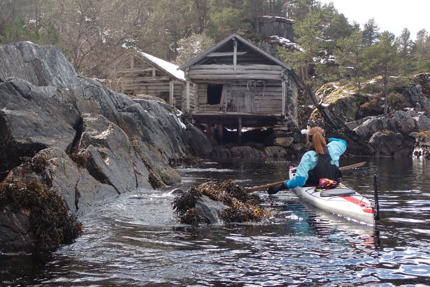
After the Bergsøy bridge, turn north-northwest, where you will pass Flatholmen after one kilometre. This little islet is the ideal place to go ashore and take a break. A couple of kilometres further north, and one km from land is Aspholmen. This is an idyllic spot, an old trading centre now under private ownership. Just a kilometre north of Aspholmen, near Bøyfotholmen, the land stretches further east for the next two km until Sallaupnesset. The entire route around the island has so far led through an area where it has been easy to come ashore, with many good places for a break or to pitch a tent. This changes after Sallaupnesset. The entire route, about 3 km, until we again arrive the in the Nålsund channel the shoreline become steeper. The bluffs will cause reflecting waves in northerly winds. This, combined with the issue of few good places to come ashore, especially in rough sea from the north, means it would be best to pull up your kayak here and walk the 3 km to Nålsund and pick up your car.
This route was prepared by the Norwegian Outdoor Board of Nordmøre and Romsdal
Nålsund channel is a great place to launch. The landowner welcomes paddlers but asks them not to block the road to the docks and boat slips. Park in the parking area on the north side of Nålsundvegen, where there is space for 3-4 cars.

 Driving directions
 Route data