Rovde – Breiteigsfjella, route 25/43
Vanylven
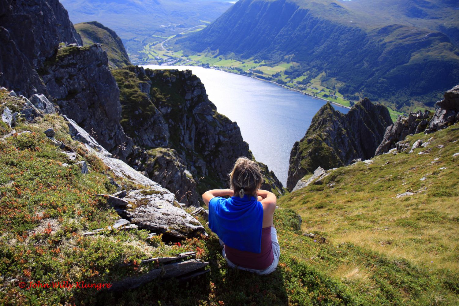
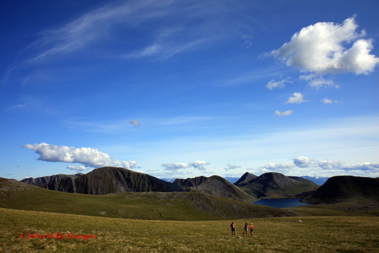
On this scenic hike through gentle terrain, you can enjoy a fantastic view. If you are looking for a more difficult and steeper hiking option, you can walk from Syvdsnes to Skår and get the same view. You can also follow the marked there-and-back trail from Skår. However, for those of you who prefer hiking in gentle terrain with an opportunity for several people to walk as a group while enjoying a beautiful view, we recommend starting from the car park at the end of the road in the Årskogdalen Valley in Rovde. Your starting point will then be at the car park above the tree line, 460 m a.s.l. Already there, you will get a view over the islands in the north. A good-quality path will soon take you to Lake Myrkevatnet. From there, you will walk west along the ridge until you see a mountain plateau in the west. If you enjoy hiking in a group, this is a fantastic mountain area. You can walk side by side through grassy fields with flowers and talk with other hikers while the view gets better with every step.
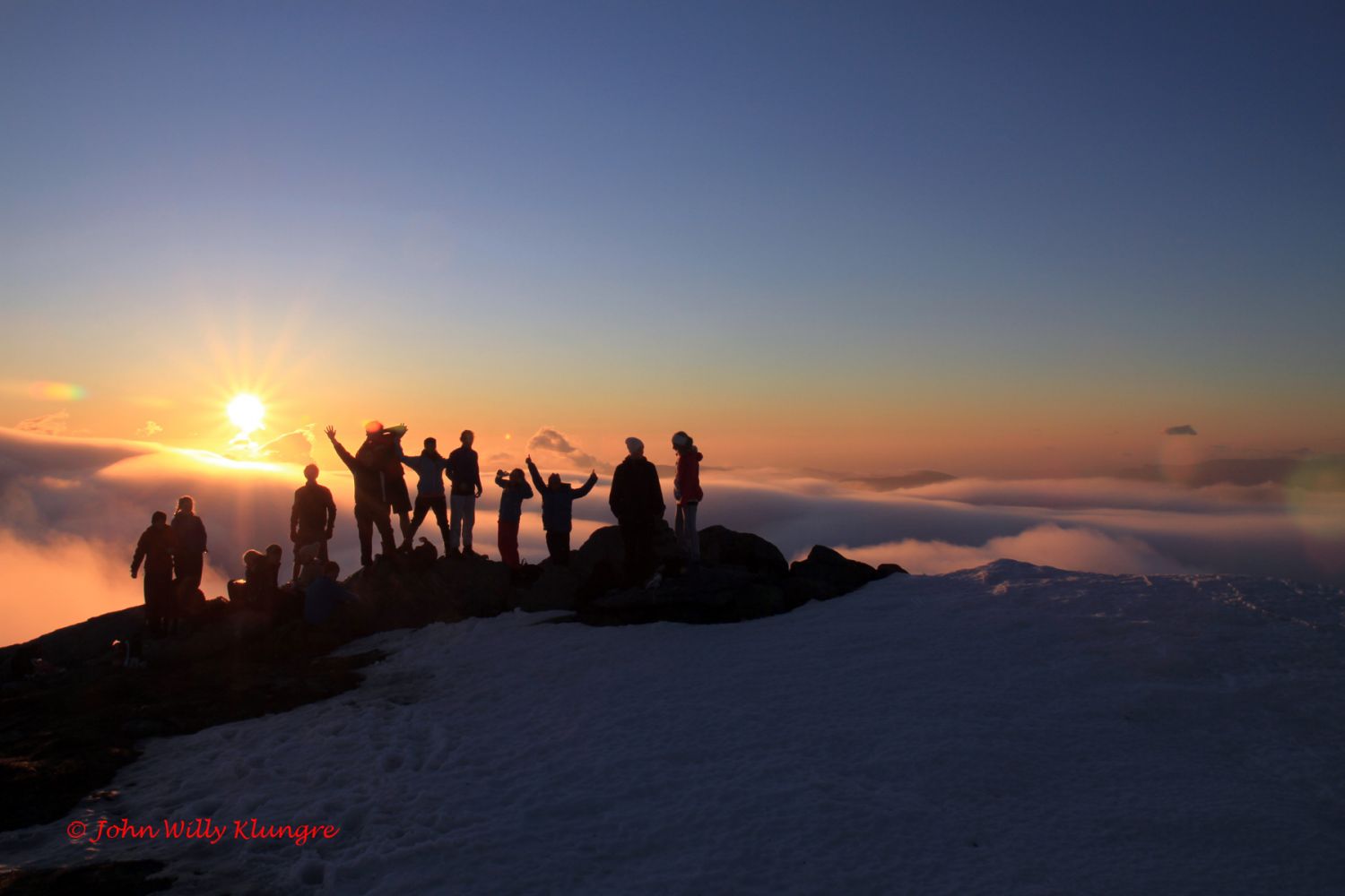
Mountaintops here are just under 1000 metres above sea level, and the view north and east is excellent. The return trip through gentle terrain back to Årskogdalen does not take much time, but you may want to set aside an entire day if you want to enjoy this trail to its fullest potential. You can also go hiking on a summer night to experience the fantastic colour variations during the sunset and sunrise as well as the blue hour in between.
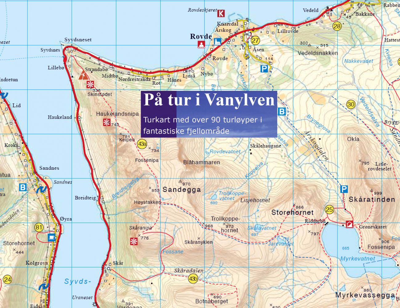
There are blue waymarkes along the entire trail from the car park at the end of the road in Årskogdalen until you are down by the road in Skåradalen above Skår. When you walk up from Årskogdalen, remember to keep to the right at the inetrsection of paths as you approach Lake Myrkevatnet.The marked trail to Breitiegsfjella begins from the path to Myrkevatnet about 100 metres before you reach the first cabins by the lake.
Turn off to Årskogdalen from the national road in Rovde. The toll road (NOK 30) begins at the end of the asphalt road. Follow the toll road into the Årskkogdalen Valley and park your car at the end of the road. Follow the well-defined path from the car park up to Lake Myrkevatnet. From there, walk up a rocky mountain ridge until you see a plateau in the west in the direction of the Breiteigsfjella mountain range.
Duration
4 t. 30 min.

Signage
Both signed and marked
| Surface type |
Distance |
| Sti |
11 |
Hiking map: På tur i Vanylven (Eng. Hiking in Vanylven) – can be purchased at local shops and petrol stations in Vanylven Municipality.
 Driving directions
 Route data
GeoJSON