Norsk

Ski Trip to Rota

Vanylven

The trail at a glance

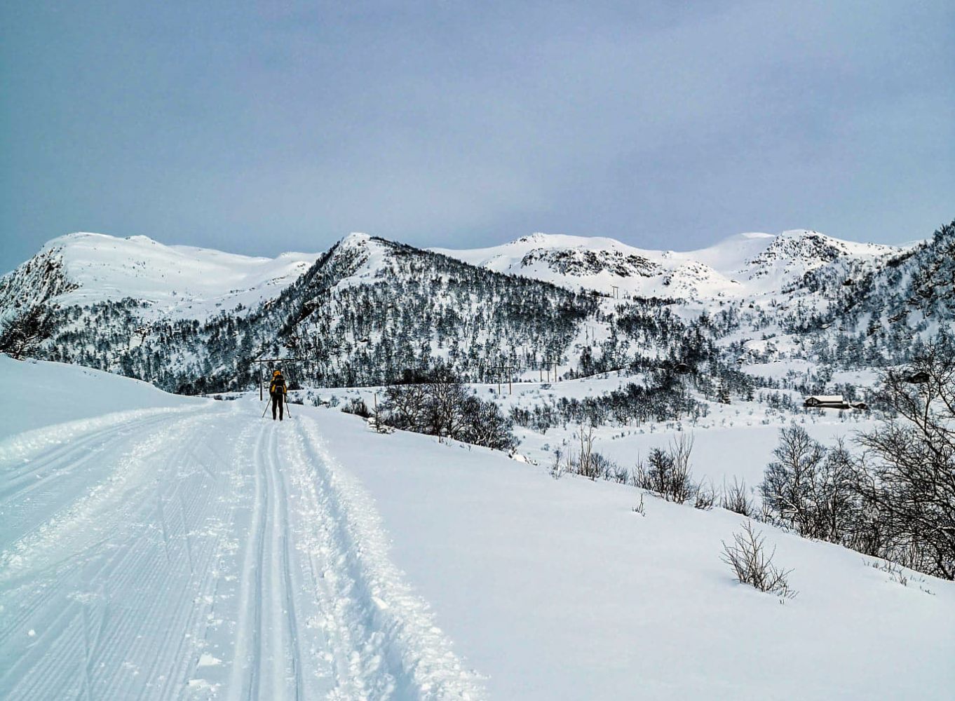
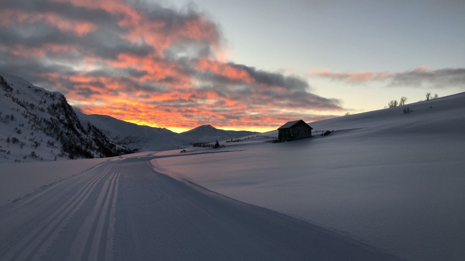
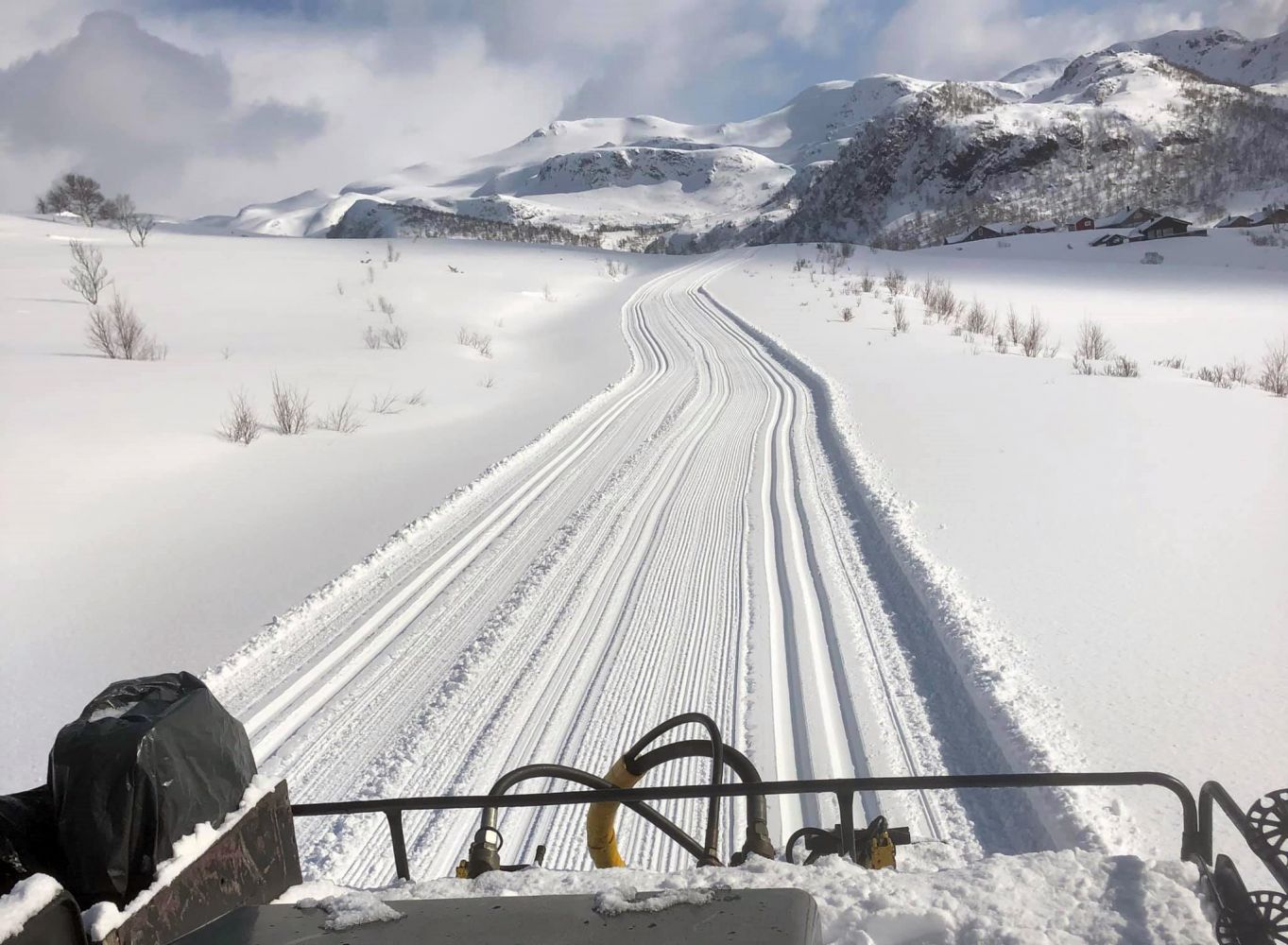
This popular ski trail is groomed when there is enough snow. Many people use this route as a starting point for longer mountain hikes or ski trips towards Vassdalsbu and Øverberg along groomed trails.

Route description

The trail starts at the furthest point of the Almklovdalen Valley and follows a good-quality gravel road in summer. In winter, this road is used as a ski trail. In good snow conditions, there are good tracks here made by a snow groomer. The end of this route is a starting point for many other trails, such as to Dua, Blåfjellet, Røvsdalsnipa, and Blæja. From the east end of Lake Slivatnet, you can follow Skitraseen (the ski trail) north towards Øverberg/Syvde: https://morotur.no/tur/OEverberg-Rota-Rute-55-c  

Access and parking

Turn off to Sunndal/Almklov at the junction in Åheim, north of the river. After 4 km, you will reach Gusdal and the junction with a road to Almklov. Turn left at the sign for Almklov. When you come to the old school in Almklovdalen after 3.5 km, continue straight ahead at the right turn. You will arrive at the car park after another 3 km. From there, it is 200 m to the turnaround at the end of the road where the trail begins. You can park for free 200 m from the starting point.
Skiing route
Blue løype
Distance
3,01 km one way
Elevation
221 m
Duration
1 t. 30 min.
Sesong
Winter, Spring
Highest Point
477 masl
Signage
No signage or markings
Mobile coverage
Partially

Map route

Surface type Distance
Preparert med tråkkemaskin 6

Map

Vanylven Hiking Map
Driving directions

API endpoints

Route data GeoJSON