Norsk

Rota and Slivatnet from Almklov/Åheim

Vanylven

The trail at a glance

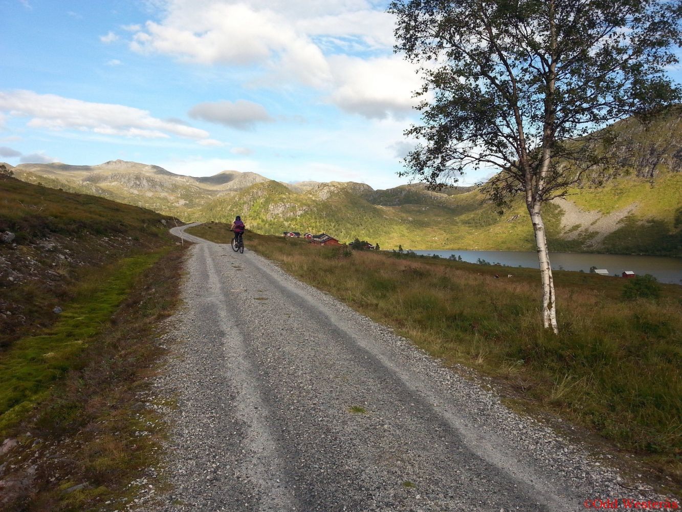
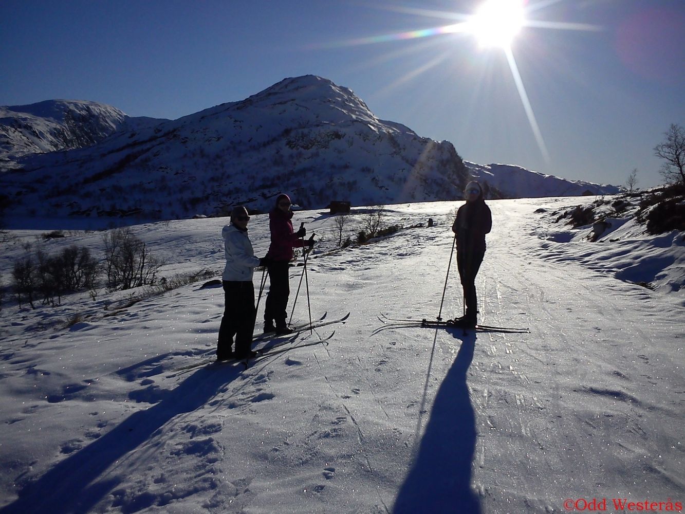
This is a lovely hiking trail in both summer and winter and a popular ski trail in late winter. Many people use this route as a starting point for longer mountain hikes or ski trips towards Vassdalsbu and Øverberg along groomed trails. Please see the link under this description. In summer, there is a nice gravel road, which is well suited for both hiking and cycling. Cycling uphill is a great exercise, and on your way back, you will get a fun and fast-paced ride to Almklov. In summer, it is also possible to drive along the road to Rota/Slivatnet.

Route description

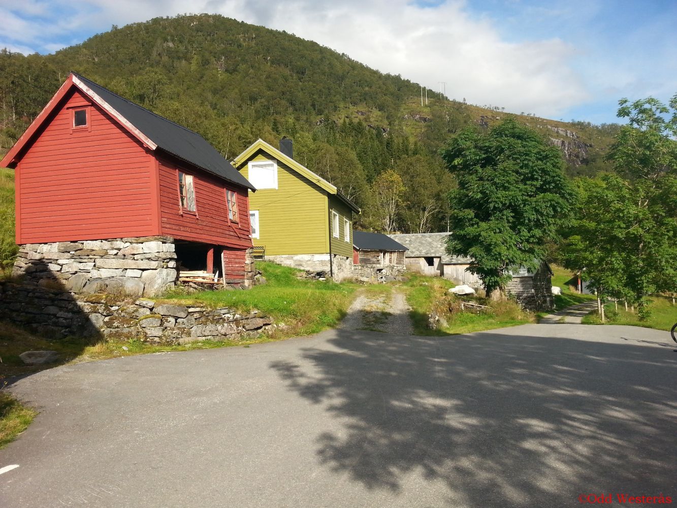
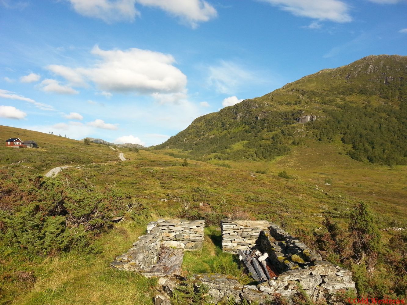
The trail starts at the furthest point of the Almklovdalen Valley and follows a good-quality gravel road in summer. Whether you walk or cycle, you can follow the road for 3 km until it ends at the east end of Lake Slivatnet. If you enjoy riding at speed, the downhill slope back to Almklovdalen is highly recommended. In winter, you can go skiing along the same route. Parts of it are groomed with snowmobiles. In good snow conditions, the Syvde Sports Association (Syvde IL) often prepares a good ski trail all the way to Heimsætra. There are many hiking alternatives with the starting point from this route, such as Dua, Blåfjellet, Røvsdalsnipa, and Blæja. From the east end of Lake Slivatnet, you can follow Skitraseen (the ski trail) north towards Øverberg/Syvde. This route is widely popular among people from both Åheim and Syvde and is described on Morotur: http://mrfylke.no/Morotur/Turer/OEverberg-Rota-Rute-55-c

Access and parking

Turn off to Sunndal/Almklov at the junction in Åheim, north of the river. After 4 km, you will reach Gusdal and the junction with a road to Almklov. Turn left at the sign for Almklov. When you come to the old school in Almklovdalen after 3.5 km, continue straight ahead at the right turn. You will arrive at the car park after another 3 km. From there, it is 200 m to the turnaround at the end of the road where the trail begins. You can park for free 200 m from the starting point.
Hiking route
Green
Distance
3,01 km one way
Elevation
221 m
Duration
2 t. 5 min
Highest Point
477 masl
Mobile coverage
Partially

Map route

Map

Hiking map: På tur i Vanylven (Eng. Hiking in Vanylven) – can be purchased at local shops and petrol stations in Vanylven Municipality.
Driving directions

API endpoints

Route data GeoJSON