Rosvoll: Around Hoøya and Ellevsøya
Smøla
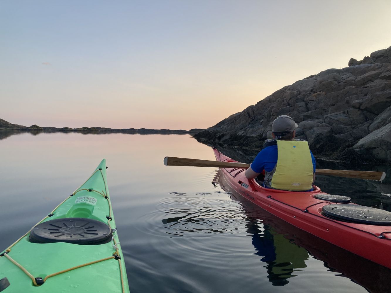
Views of the Tustna mountains, sheltered waters, bathing areas, good camping spots for tents and historical sites are all good reasons for making this trip.
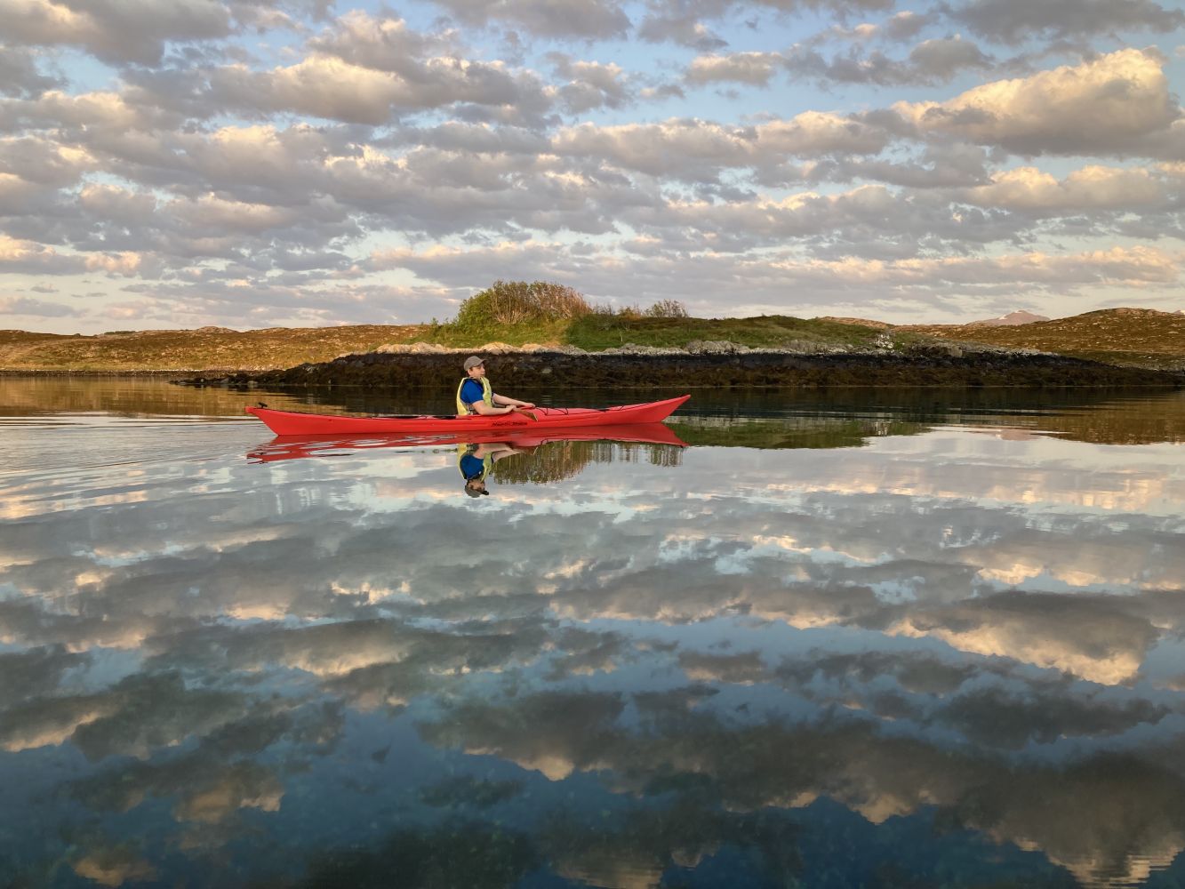
Views from a mountaintop are often exceptional, and they can be equally stunning from a mirror-like reflection on still water. If you paddle this route when the wind is still, the reflection of Tustnafjell mountain will treat you to an image of the mountain both above and on the surface – pure magic.
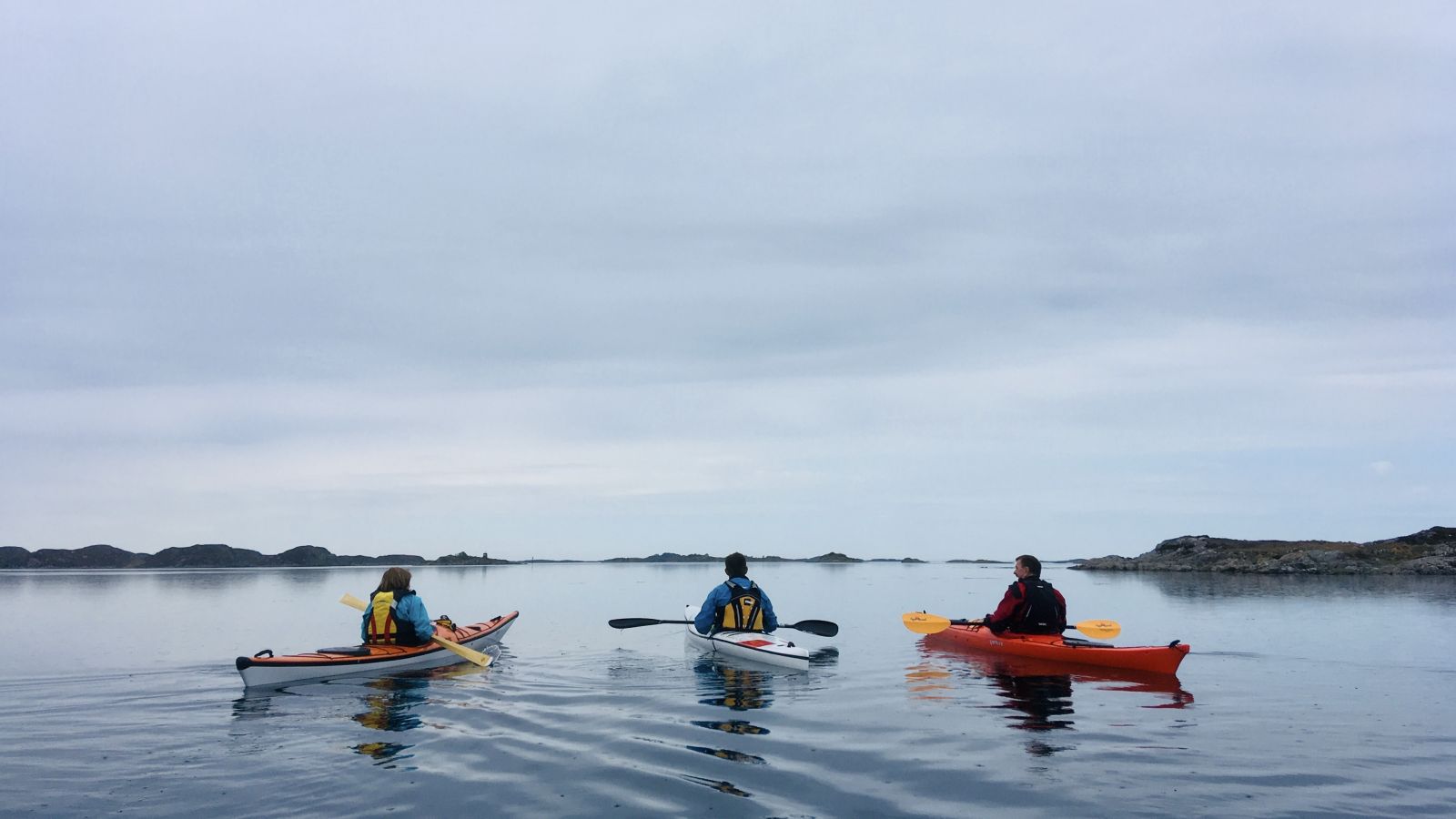
Launch your kayak from the floating dock or an incline. This is a round-trip route heading south. Use the markers in the sea lane to help you navigate. You will be paddling through sheltered waters during most of the trip, and as there are several shallow areas, you'll also see some of the underwater landscape. Be cautious with southwesterly winds, as there may be some waves after you pass the channel between the islands of Hoøya and Olderøya. In the south, you can enjoy the views of Tustnafjell mountain. From the left are: Litløret (637 masl), Storøret (907), Stabben (906), Skarven (896), Jørgenvågsalen (857) and Knubben (680).
There are many islands in the area. The island of Svelund towards the east has some lovely bays suitable for pitching a tent.
South of Smøla the sea is often calmer than to the north, and there are many small islands and islets. You will enjoy a nice trip paddling in the local area. The Tustnastabbene mountain peaks in the south will tell you where you are.
There was activity during the Second World War in this area. The island of Edøya was important to the German occupying military forces as they could monitor the sea lane leading into Trondheim. In the spring of 1945, two men from Smøla and Alta were here monitoring boat traffic with their binoculars and reporting what they saw by radio to England. They were lying in a gorge on the south side, just a few metres below the top. It is 52 metres up to the top to enjoy the view, which is fortunately devoid of German warships.
On the neighbouring island of Ellevsøya, they were given assistance in the form of provisions and equipment. Ellevsøya has been populated since 1650. There are still houses on the island, but they are only used during the summer.
History buffs may find it interesting to paddle to Høgøyan. Below the steep mountainside south of Brømsterøya, the fishing vessel carrying Shetlands-Larsen and his crew waited here on 29 October 1942. They had lowered two mini-submarines from the deck, attached by wires, which they dragged behind the ship. These carried torpedoes for the purpose of destroying the German warship, Tirpitz.
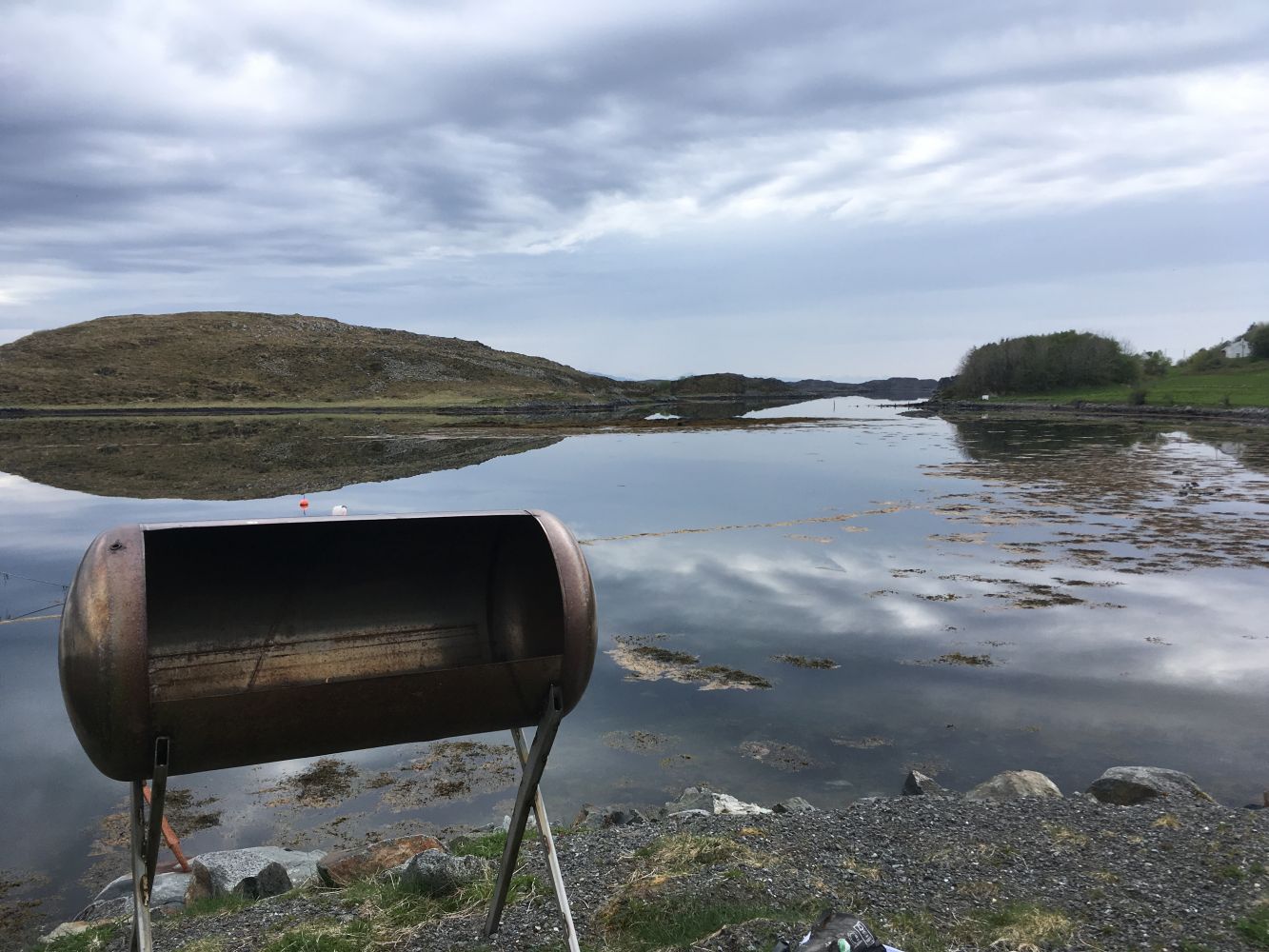
The Rosvoll leisure boat harbour is located 8.8 km from the junction on Edøya, where the ferry, boats, buses and cars meet. When coming from the ferry, turn left at the sign to Rosvoll and Prestegård. After 2.2 km, you will arrive at the leisure boat harbour located at the end of the road. It's just a short walk to a nice lean-to on the nearby hill. Launch your kayak from the floating dock or the boat slip. There is plenty of parking space.
Duration
2 t. 10 min.

Sesong
Spring, Summer, Autumn
Bus to Edøya. Check the Fram app.
Sheltered waters. Be aware that the weather can quickly change in western Norway.
 Driving directions
 Route data
GeoJSON