Roskar Rock Carvings (Roskarristninga)
Herøy
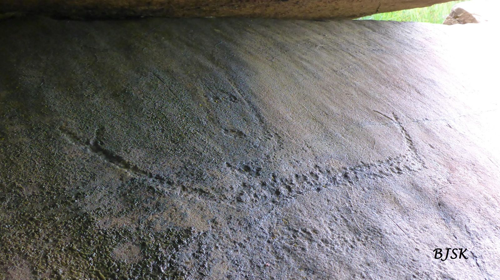
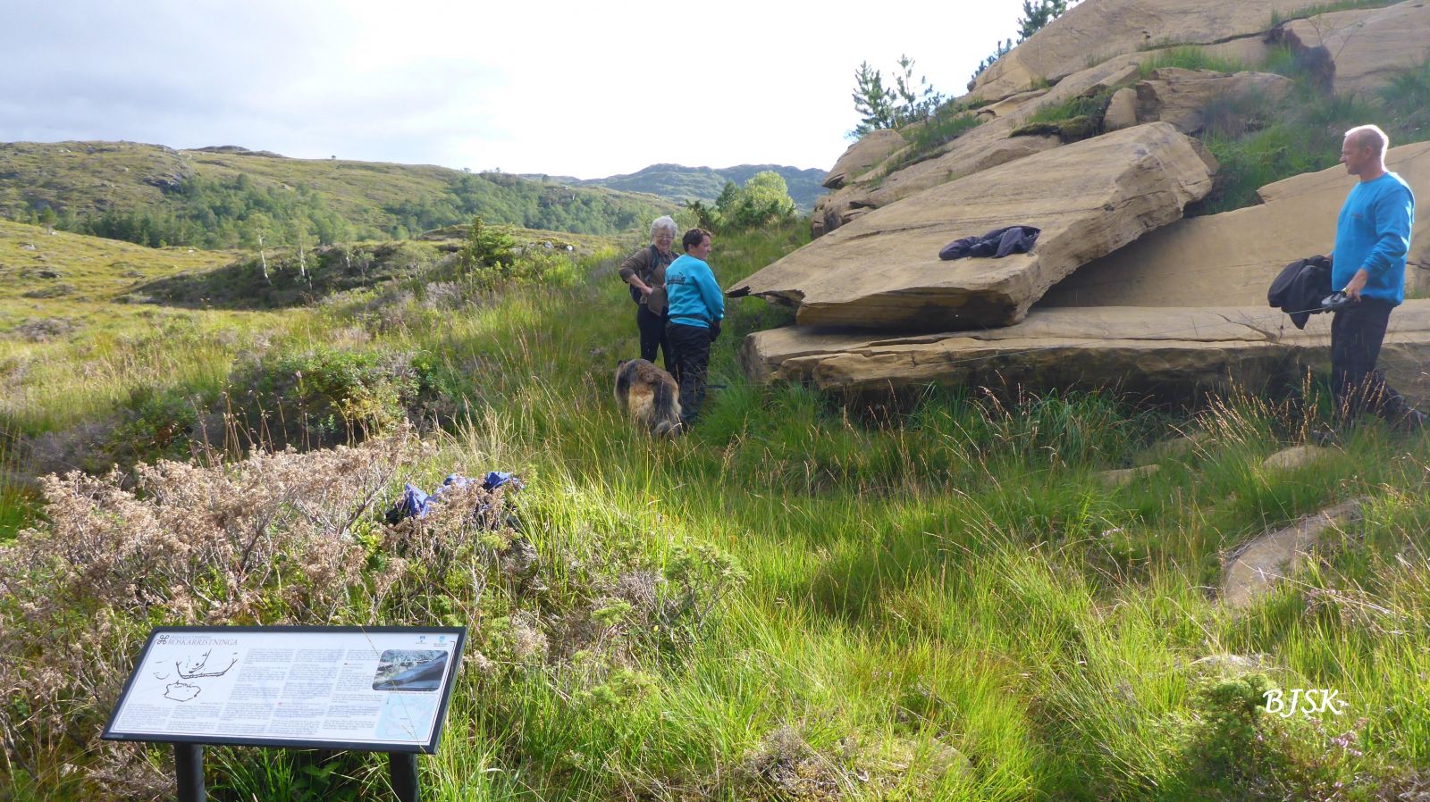
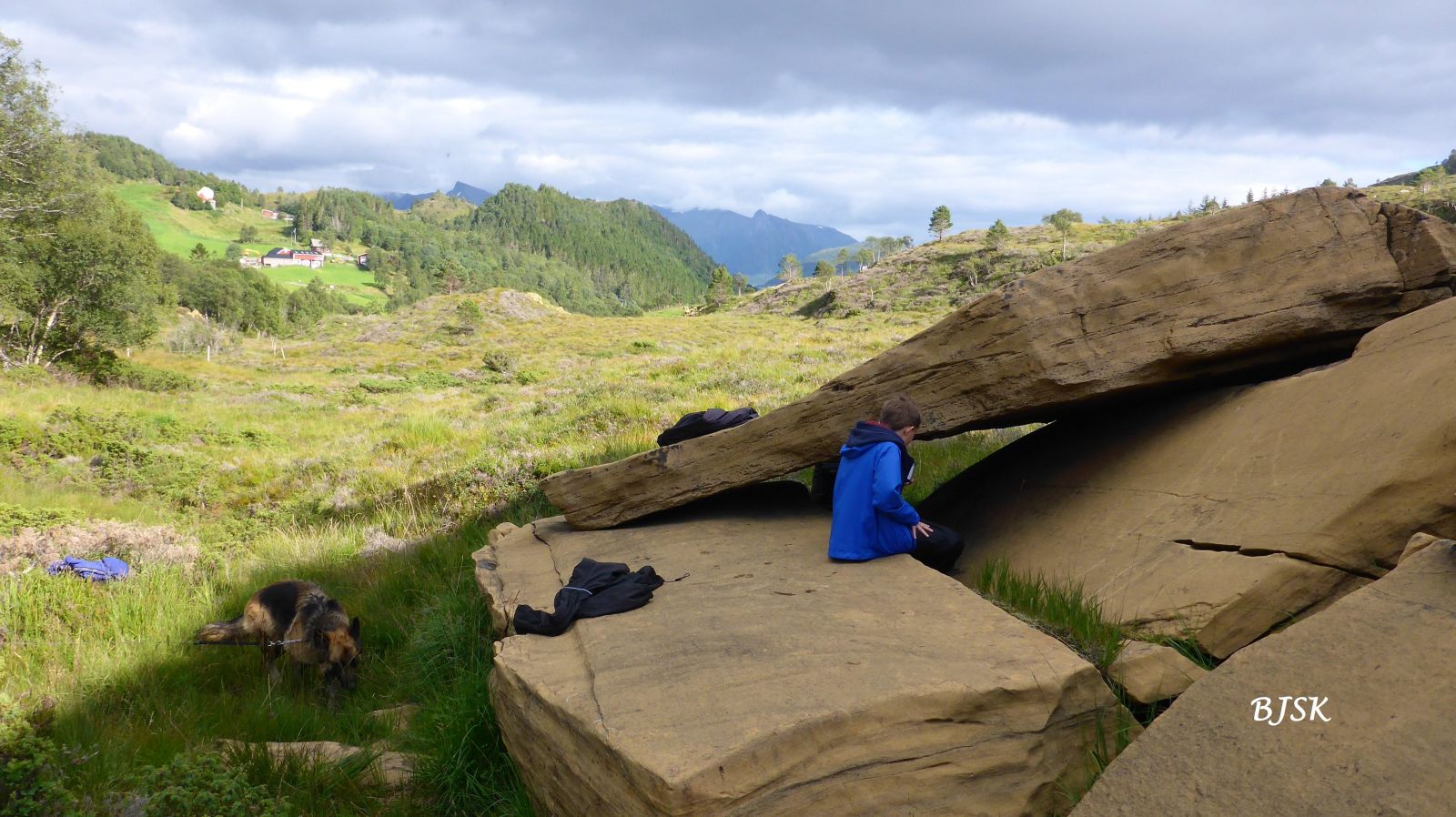
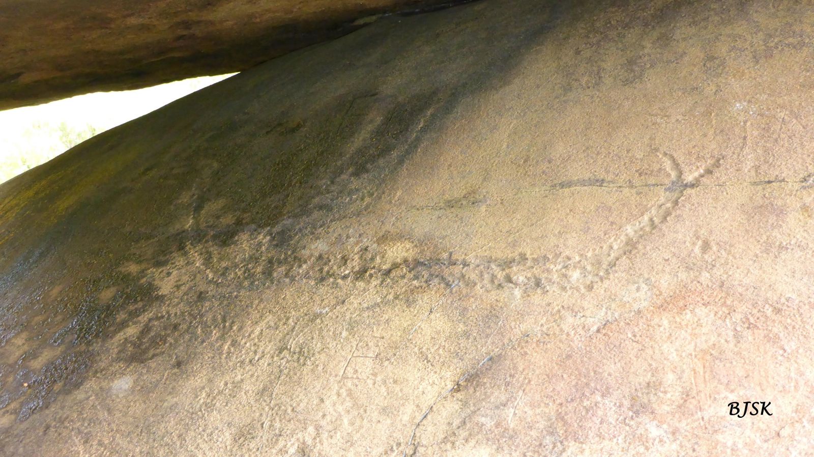
This trail takes you to Roskarristninga, a protected petroglyph site that is believed to date back to the Older Iron Age. Roskarristninga is located in an area that used to be part of a common transport route between the east and the west of Gurskøya Island. You will find useful information boards both at the start of the trail and near the rock carvings.
The trail starts from the car park by the Rødskar farm. Walk 20 m north to the junction and continue west along the tractor road for about 450 m. Turn left (south) and follow the path until you reach the rock carvings.
Turn off County Road 61 (FV61) at the junction east of Leikong Church (you will see a sign for Voldnes). Follow County Road 15 (FV15) for about 4.3 km, turn right, and drive along the municipal road for about 3 km until you reach the car park just before the Rødskar farm.
Park your car at the starting point of the trail.
Duration
25 min.

Sesong
Spring, Summer, Autumn
| Surface type |
Distance |
| Sti |
0,3 |
DO NOT CARVE ON THE ROCK
The soft olivine surface has tempted many to carve their names on the rock. Some names that are cut into the rock surface are quite old and already a cultural phenomenon in themselves. But the tradition directly threatens the ancient rock carvings and the overall impression of the place. Drawing on the rocks is forbidden! Any kind of open fire is also not permitted.
Rock art is an ancient and vulnerable heritage that must be treated with care. The carvings are protected by sections 3 and 4 of the Cultural Heritage Act. It is forbidden to do anything that can damage or destroy the rock with the carvings or any surrounding rocks. Be careful when walking along the olivine mountain ridge. Do not climb on the stones as they can fall. All movement in the area is at your own risk. You must keep your dog on a leash.
Hiking map of Ytre Søre Sunnmøre, M711 1119 II, Sunnmorskart.no
 Driving directions
 Route data
GeoJSON