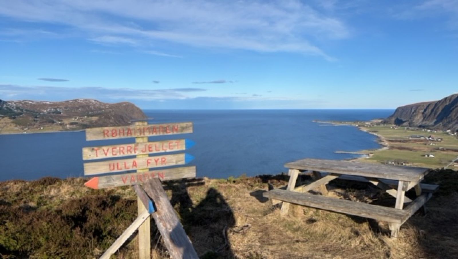
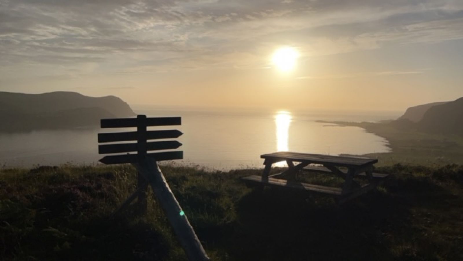
The trip to Røhammaren has a steady incline from the starting point. After the treeline there are good views of the islands to the north, as well as views of both the islands and mainland along the way.
Route description
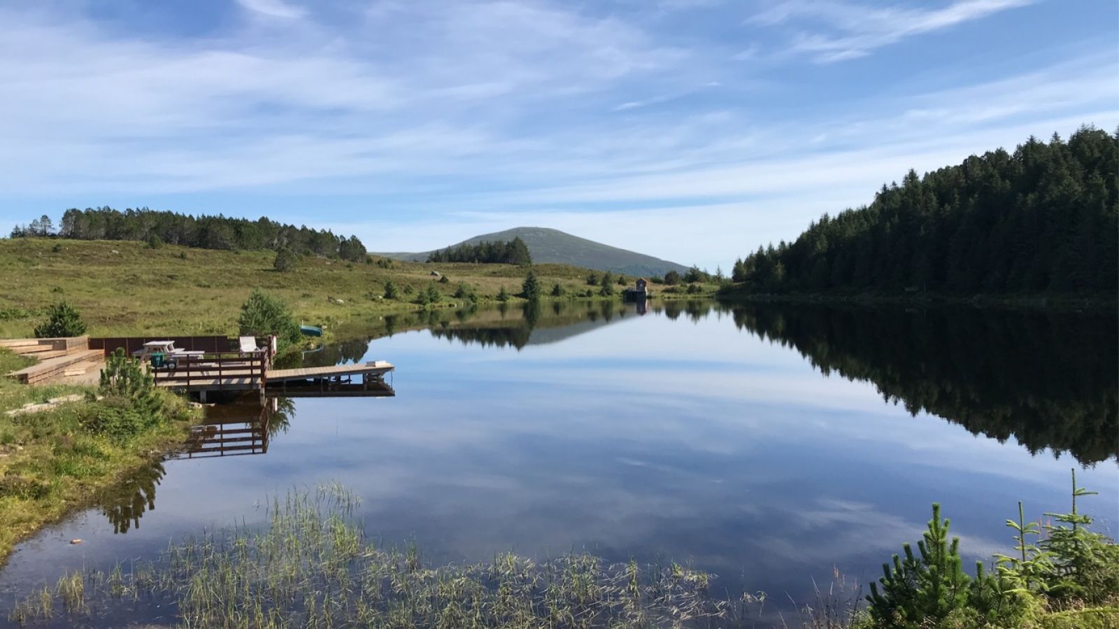
From the parking area there is a trail marked by a sign on the north side of the school building. Pass through the public health area and follow the signs up to Nordøyhallen. Start at the sign for Røhammaren. The trail starts on an old tractor road, which gradually includes a combination of stone slabs and wooden planks over the wet sections. At the end of the tractor road are a few benches for rest stops. There are good views towards the north. Continue until you reach Røhammaren. To get the most out of your trip and the views, we recommend that you continue southeast on an outer path further down. There will eventually be signs for Stormyrhytta where the trails cross in the woods. Follow the trail to Stormyrhytta, where there is access to a kayak, outhouse toilet and campfire pit. Continue along the lake and up the same trail you took earlier. Return to the starting point from here.
Access and parking
Parking is shared with the public health buildings. The parking area is below the school building. This is marked by signs along the main road and up to the school. No parking fee, and there is plenty of space. Teachers park here on weekdays.

 Driving directions
 Route data