Røfsdalsætra – Lundagjerde
Vanylven
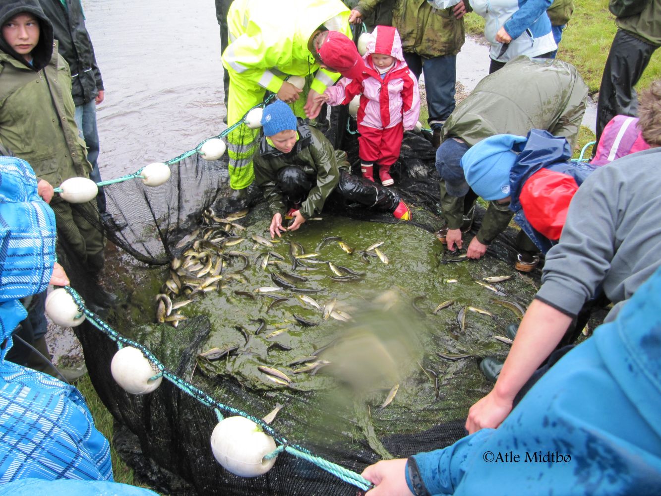
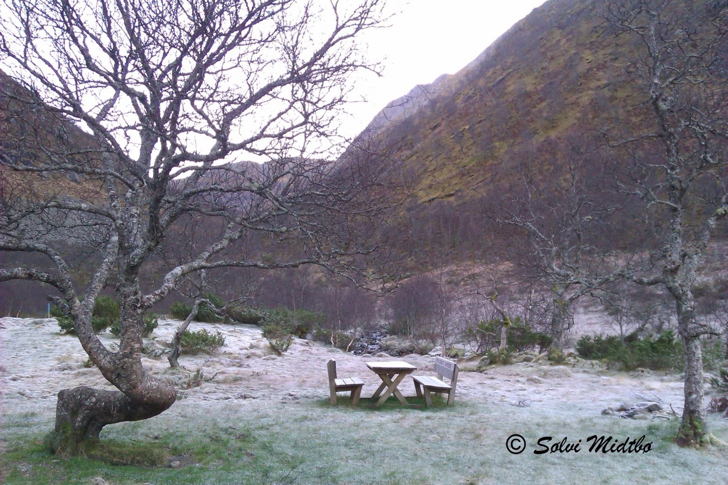
The toll road to Røfsdalsætra is a popular hiking route. It is suitable for both hiking, cycling, and walking with a pram. Myklebust Sameige (Myklebust Joint Ownership) set up picnic areas along the trail. The first one is located a few hundred metres past the water intake of the Syvde water plant. Here, you will also find the heart stone which is worth stopping by. As you move further into the valley, the area past the lake is called Buholm. Myklebust Sameige placed another picnic area here, by the stone walls of an old shepherd’s hut. The last picnic area is to be found at the end of the road, on an idyllic grassy plain by the river and a characteristic birch tree. Every autumn, the landowners from Myklebust Sameige organise a trout festival called Kredefest, where everyone can enjoy fried trout that has just been caught with a fishing net.
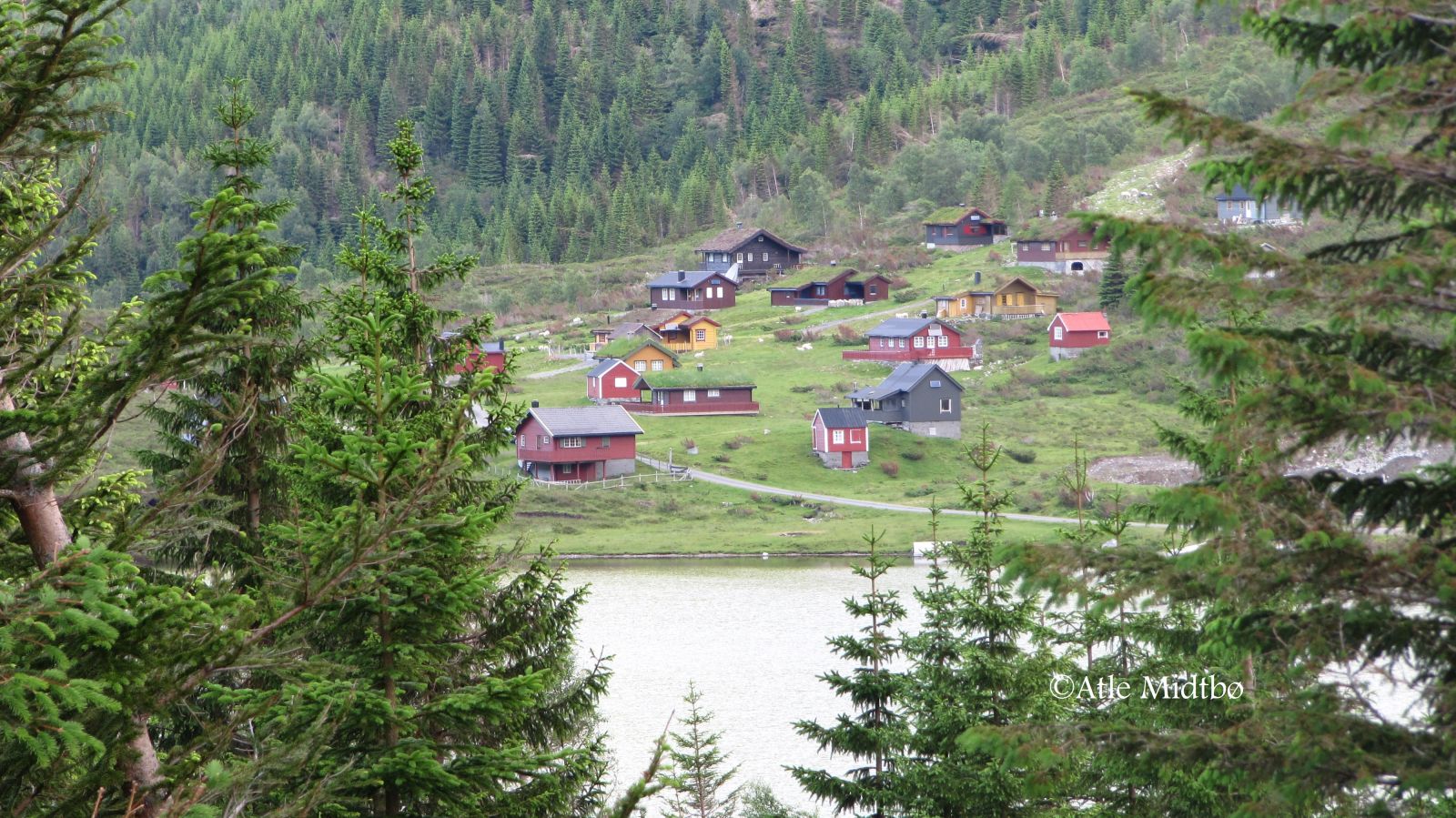
A toll road will take you from Syvde to Røfsdalsætra, past Lake Sætrevatnet, to the end of the road in Lundagjerdet. The trail is a gradual climb over Gåtå, which is the local name of the road to Røfsdalsætra. In Røfsdalsætra, the valley widens out into a plain, and the road becomes flat as you move through Stuttestranda along the lake, past Buholm. From here, the road follows the river until a steep climb from Holeskylet to Solglytt begins. This is the highest point of the road, and you are now only a few hundred metres away from the end of the road and the car park in Lundagjerde.
Sætrevegen is a toll road that starts in Smedbøen, where the county road swings right towards Sørdalen. The Røfsdalen Valley is a good starting point for several mountain hikes of varying length. You will find car parks in both Røfsdalsætra and Lundagjerde. The Røfsdalselva River and Lake Sætrevatnet are good fishing spots. The waters are rich in salmon, so remember to buy a fishing licence at Myklebust Sameige or Sørdal Kjøtt.
You can park your car along Sætrevegen Road in the area near Myklebust Sameige’s toll collection point. When parking, please ensure that large vehicles can drive past.
Duration
3 t. 35 min.

Hiking map: På tur i Vanylven (Eng. Hiking in Vanylven) – can be purchased at local shops and petrol stations in Vanylven Municipality.
 Driving directions
 Route data
GeoJSON