Røddalshornet
Herøy / Sande
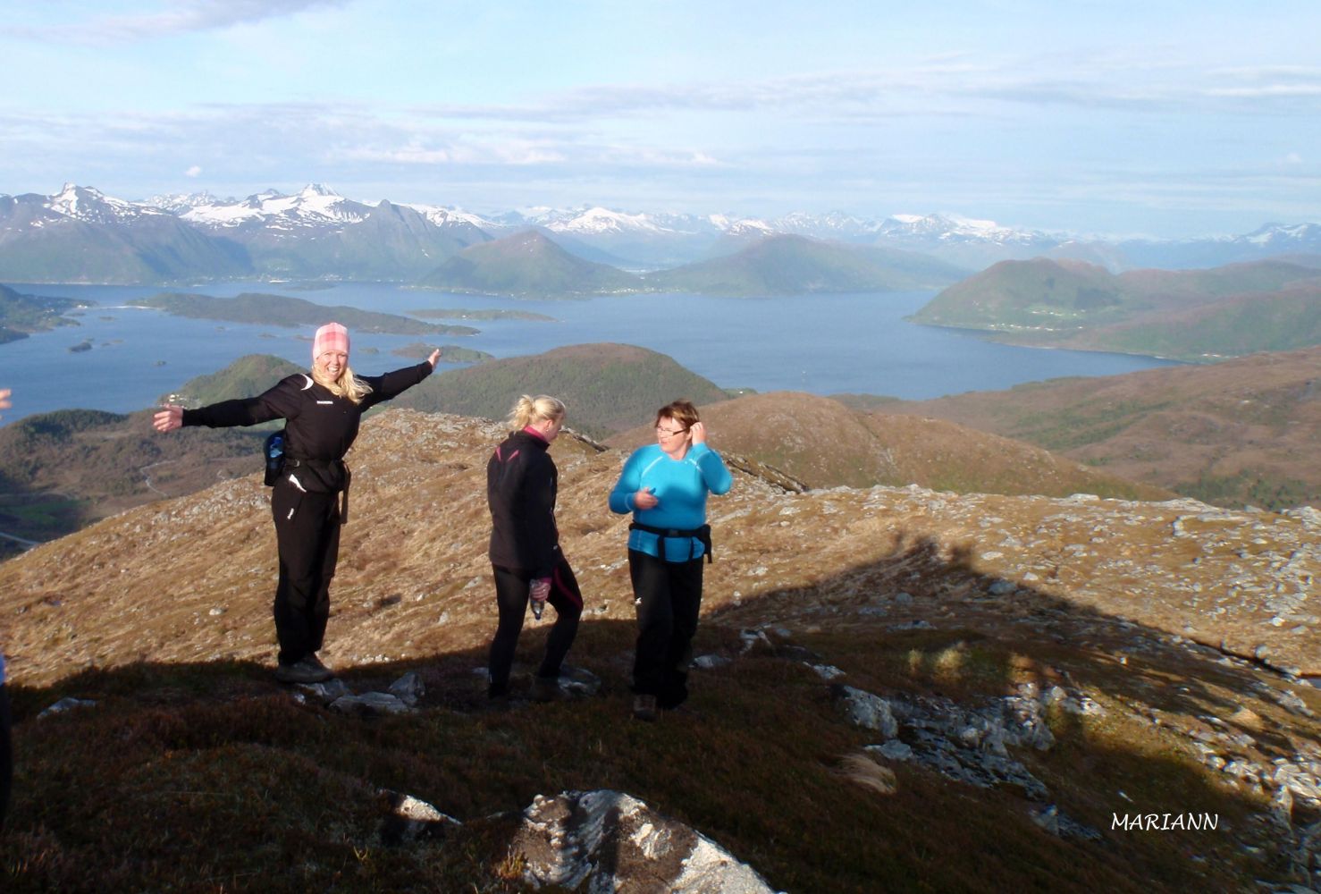
Røddalshornet offers a scenic view of the outer Sunnmøre and the Sunnmørsalpane mountain range. The Gurskøy Sports Association (Gurskøy IL) set up a trail post on the peak.
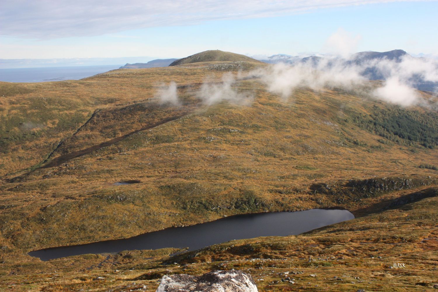
The trail starts from the old road in Leikongeidet where you will see a sign for Røddalshornet. Follow the path along the south side of the river until you reach the mountain ridge that goes up to Røddalshornet. Follow that ridge until you reach the peak that is visible from the starting point. The path follows the edge of the mountain and takes you all the way to the peak.
Take County Road 61 (FV61) to Leikongeidet. Park your car along the old road near the sign for the border between Herøy and Sande municipalities.
Duration
1 t. 50 min.

Sesong
Spring, Summer, Autumn
| Surface type |
Distance |
| Sti |
3,4 |
In the 1970s, there was a surface lift and an illuminated slalom track on the east side of Røddalshornet. The entire facility was dismantled in the early 1990s.
Hiking map of Ytre Søre Sunnmøre, M711 1119 II and III, Sunnmorskart.no
 Driving directions
 Route data
GeoJSON