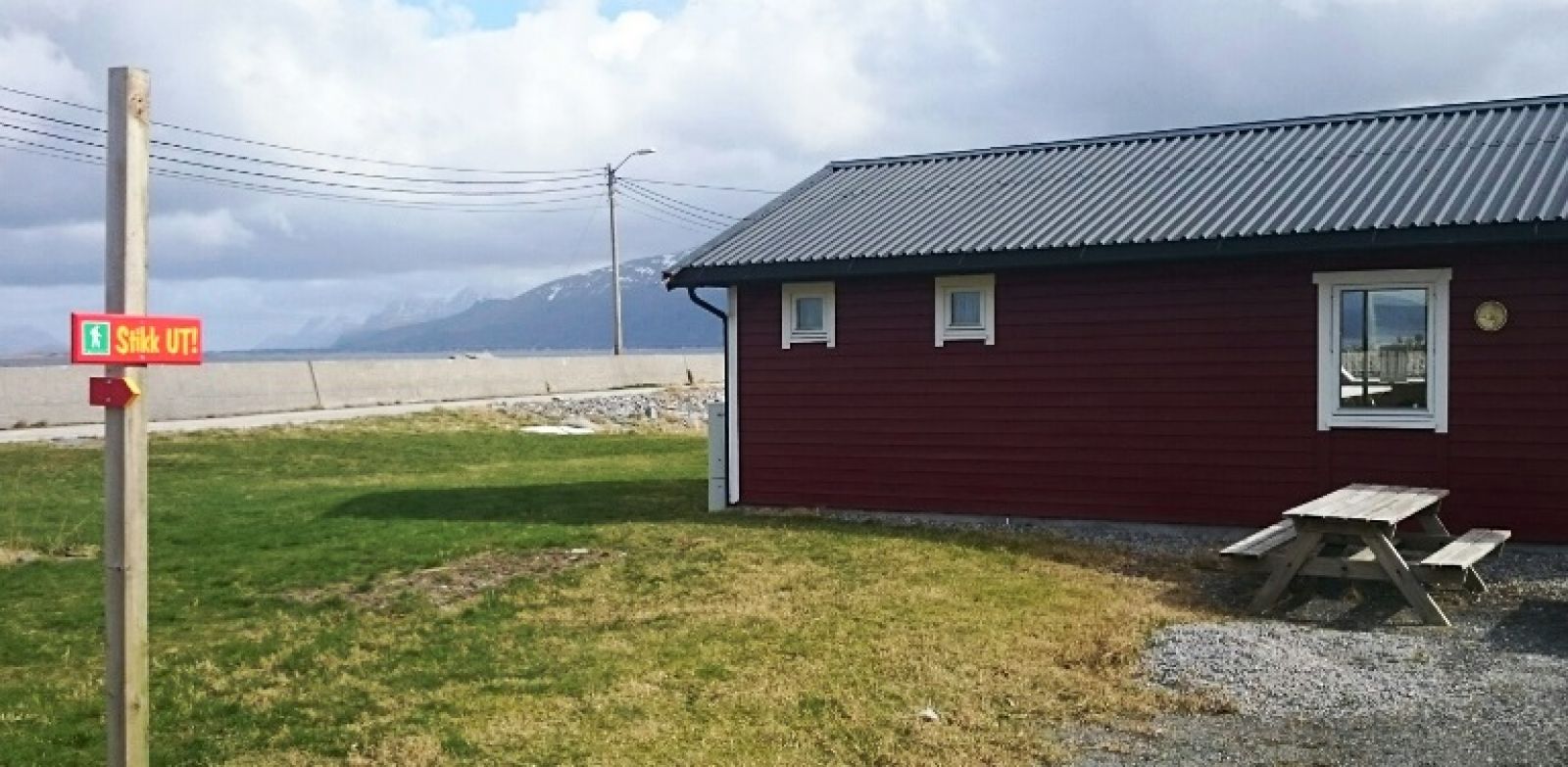
The centre of Roald is an old village with shops and buildings associated with the fishing industry. Roald marina is a place where you can see small boats as well as larger fishing boats further away in the industrial dock area. Along the way towards the airport you will be passing by the Gange-Rolf memorial. It was built to honour Gange-Rolf (868–932), the son of Ragnvald Mørejarl who owned the islands at that time. You will also walk past the Sunday School building in Roald. This is an interesting building that looks more like a church. There are a number of ancient burial sites along the trail. The landscape in the area is also worth a visit. For younger and older children it is always exciting to see what is happening at the airport. There is quite a lot of traffic here, so you can watch the planes both landing and taking off.
Route description
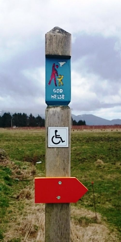
The trail starts from the marina in Roald on the island of Vigra. National Road 137. The marina lies at N 62. 35012 E 6. 7,666. This trail is quite easy and stroller-friendly. It follows the asphalt road passing through beautiful landscape. You will mainly be walking on the pavement. The trail goes past the Sunday School building in Roald and stretches all the way out to Vigra Primary School. From the school you can choose to walk straight ahead towards Blindheim or Nørestranda. If you choose the direction of Blindheim, continue walking for 150 m from the school and take the turn to the left. Turn off the road once you are at N62 35012 E 6 7,666 and follow the Rørvikvegen road towards the airport. The section of the trail from the school to the airport is a looped trail. Wheelchair users can easily follow this trail. The trail is a bit less than 5 km, but you can choose to follow other routes or walk longer if you would like to.
There are several possible starting points for this trail. But the start of the looped trail as described here is Roald Marina. This is also the endpoint.

 Driving directions
 Route data