Rjåhornet from Stemmedalen Water Plant
Herøy
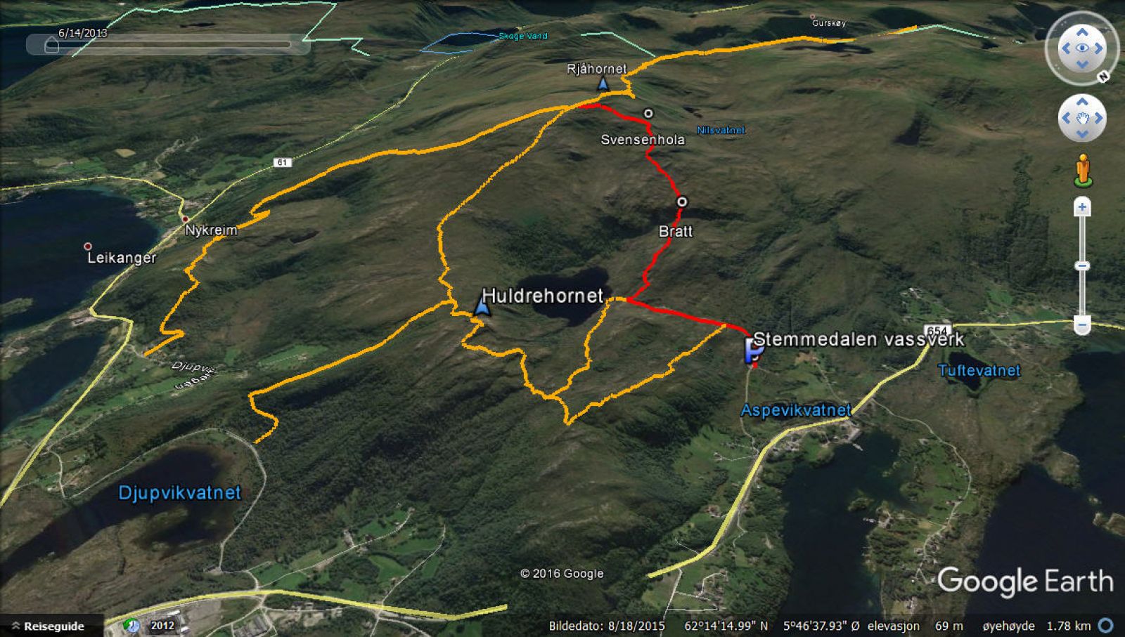
Most hiking trails on the island of Gurskøya are marked green or blue according to the level of difficulty. If you would like to try a “red” route, drive to the water plant in Stemmedalen and follow the sign for Rjåhornet.
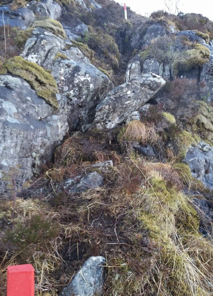
The reason this trail is marked red is a steep section that starts at around 220 m a.s.l. This short passage is somewhat exposed, and there may be a risk of falling down from here. Other than that, the trail is not more demanding than the other hiking routes on this mountain.
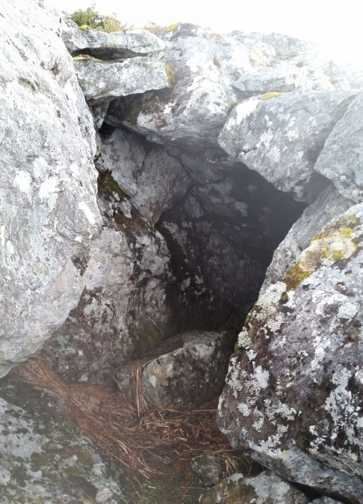
You will pass the Svendsenhola cave at around 470 m a.s.l. Here, you can crawl between the boulders and find shelter from the weather if necessary. The cave is not easy to spot if you do not follow the sticks.
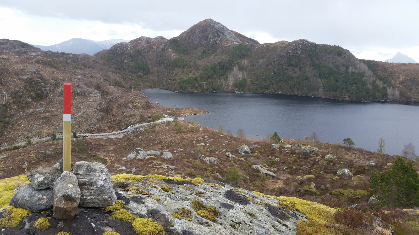
Although the route is relatively new (established in 2016), the path is clearly defined in many places. It is well marked with reflectors and small cairns, so it should be easy to find the way both up and down, even in foggy weather.
The trail starts from the Stemmedalen water plant. Follow the road for 0.8 km until you see the sign that reads “Rjåhornet 2.5 km” almost up by Lake Stemmedalsvatnet. Turn right and walk up an area of bare rock.
The steep section mentioned above begins at the height of about 200 m a.s.l. After climbing up this short but exposed section of the trail, walk up a small groove until you reach less steep terrain. Here, you will see the Storevarden cairn (427 m a.s.l.). The final section up to this point is also steep, but there is no risk of falling.
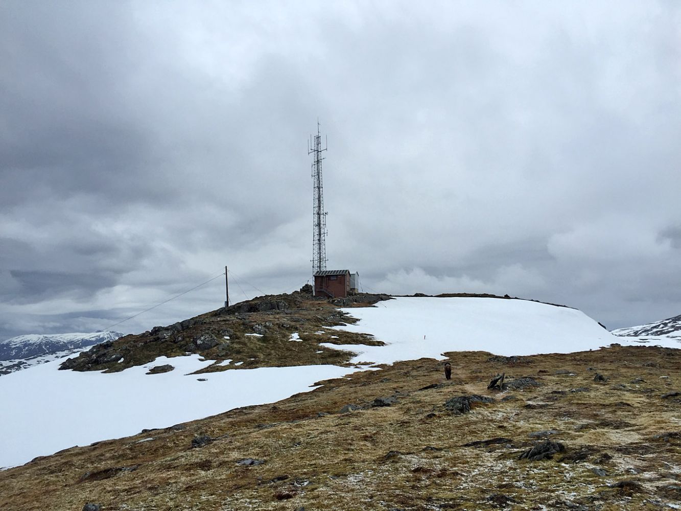
The trail continues further up to Svendsenhola (around 470 m a.s.l.). From here, walk south/southeast until you meet the path from Djupvika and Leikong 250 m east of the summit itself.
There is a scenic circular route for those who want to go a little further. To start on the circular route, follow the path down in the direction of Djupvika, keep straight ahead at the junction of paths on the plateau (signposted “Huldrehornet 1.3 km”), and follow this route to Huldrehornet. From Huldrehornet, walk down the ridge for 200 m, turn left at the sign that reads “Stemmedalsvatnet 1.7 km”, and follow the path for 640 m until you reach another junction near Leitet. Here, you have two options: 1) turn left and follow the path down towards Lake Stemmedalsvatnet, or 2) continue along the path towards Dyrkyrkja and turn left onto Lidafjellstien (signposted) on the Lidafjellet mountain.
Follow County Road 654 (FV654) towards Fosnavåg. About 0.8 km after the Aurvåg Tunnel (on the side of Tjørvåg), turn left and follow the narrow asphalt road to the Stemmedalen water plant. You will see direction signs towards Rjåhornet, Dyrkyrkja, Huldrehornet, and Stemmedalsvatnet at the exit from the main road. Please be mindful of tank trucks when parking by the Stemmedalen water plant since they need a lot of space.
Duration
3 t. 10 min.

| Surface type |
Distance |
| Sti |
2,5 |
Bus stop before Lake Aspevikvatnet
 Driving directions
 Route data
GeoJSON