Rjåhornet from Mjelthaugvegen
Herøy
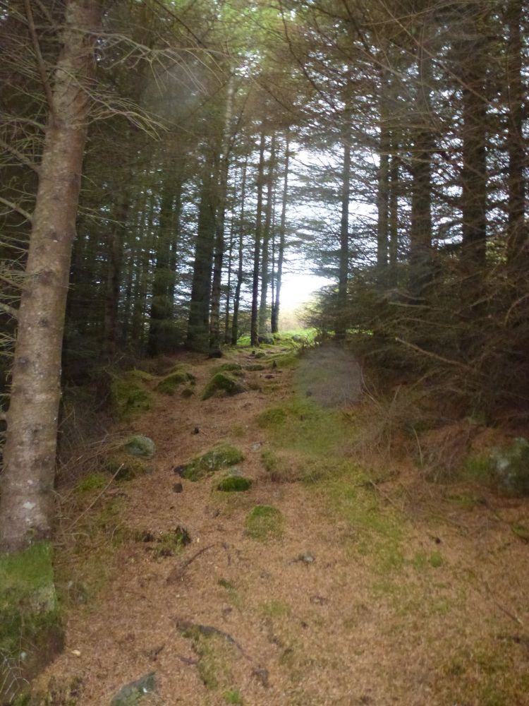
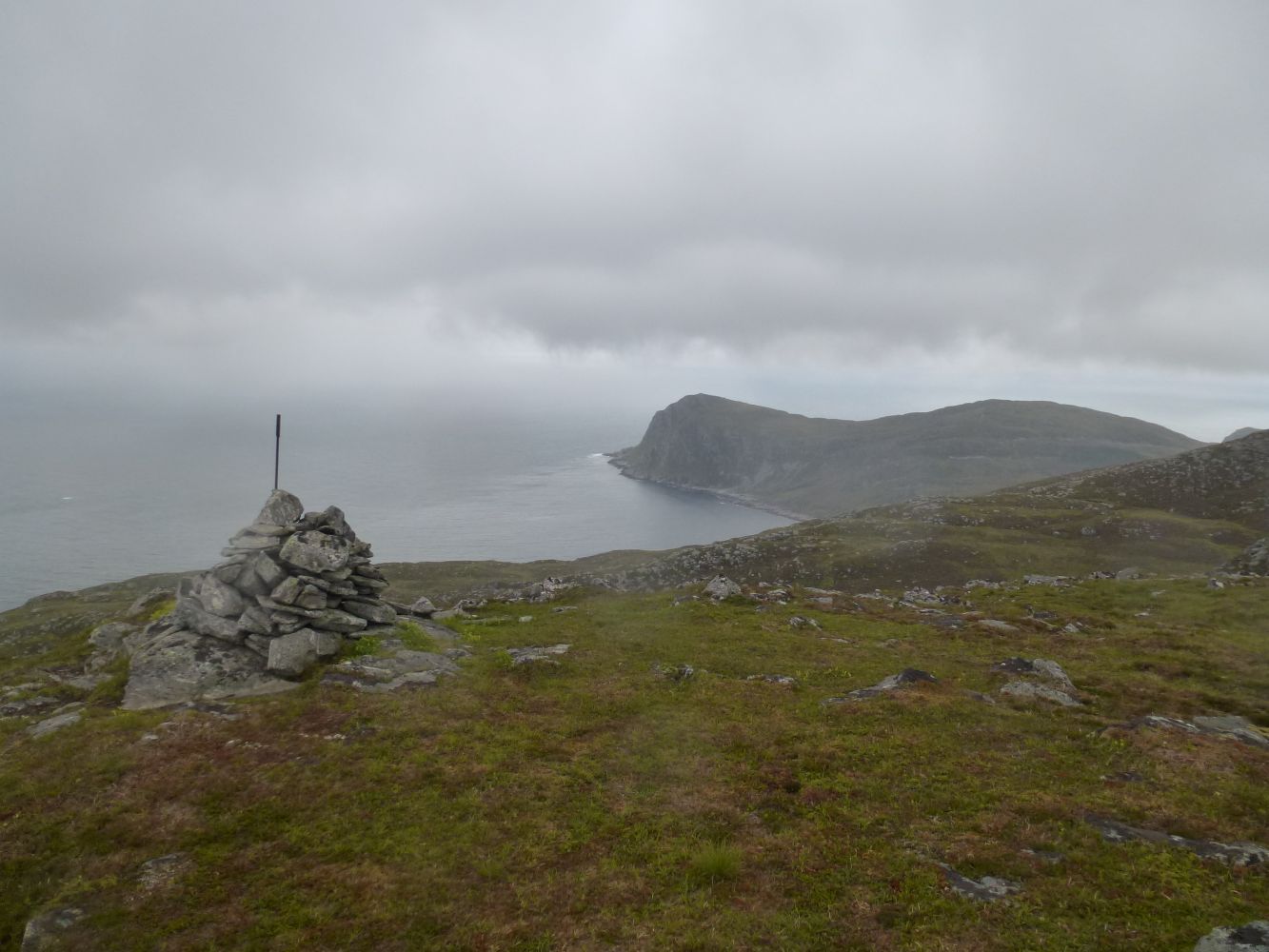
This hike starts from Mjelthaugvegen Road. You will first walk through the forest and later a marshy area called Vardemyrane. From here, the trail is well marked all the way to Rjåhornet and offers scenic views of the islands of Svinøya and Skorpa and the Sunnmørsalpane mountain range. The trail takes you up to Rjåhornet on the island of Nerlandsøya.
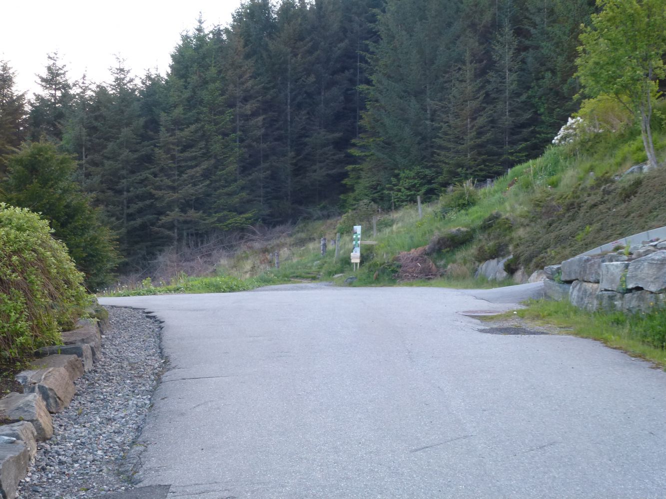
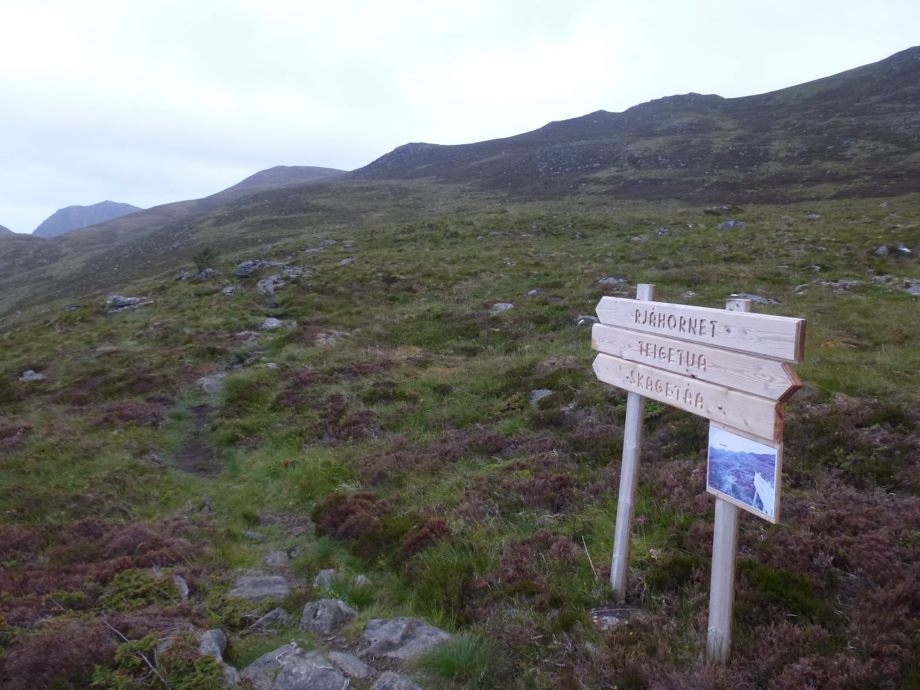
Park your car by Nerlandsøy Chapel. The trail starts from the end of Mjelthaugvegen Road, where you will see information boards and road signs. Walk through the forest before reaching Vardemyrane. Turn left at the sign and follow the waymarks up to Rjåhornet.
Park your car by Nerlandsøy Chapel. There are only a few parking spaces at the end of Mjelthaugvegen Road.

 Driving directions
 Route data