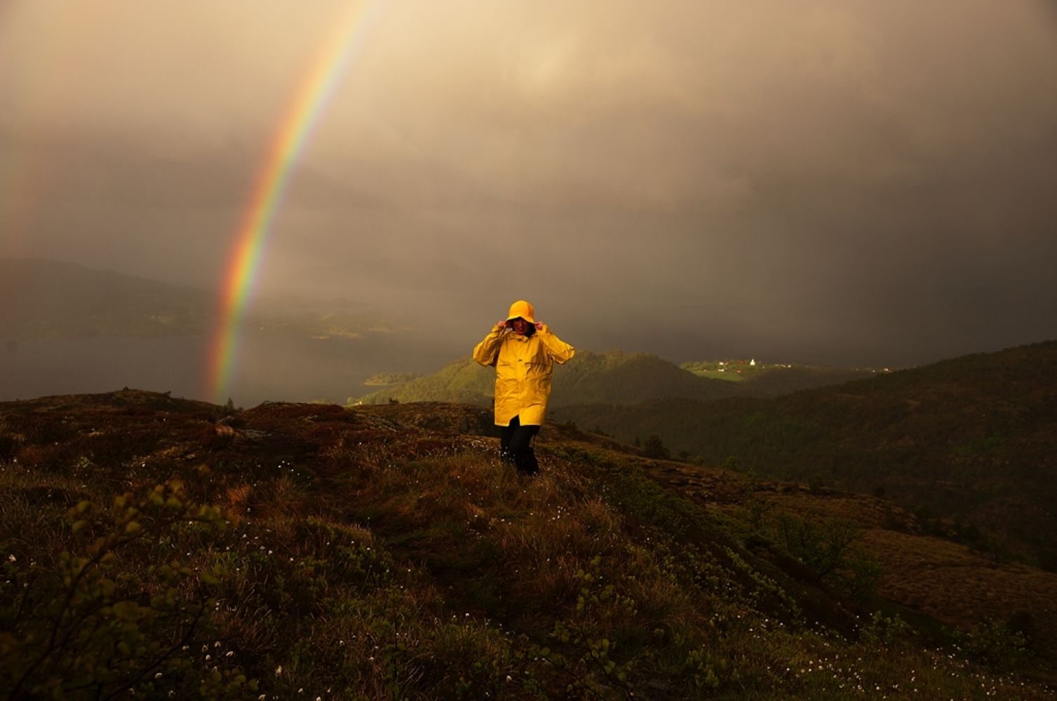
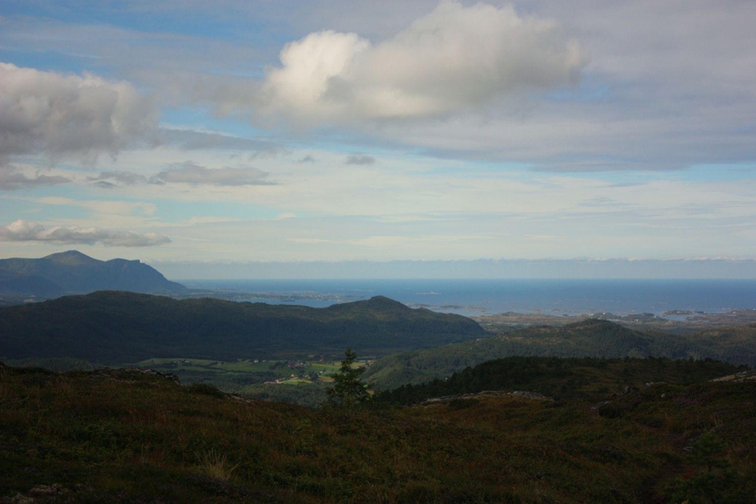
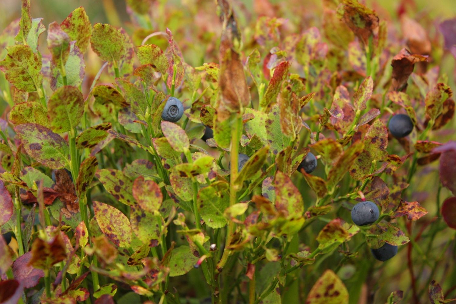
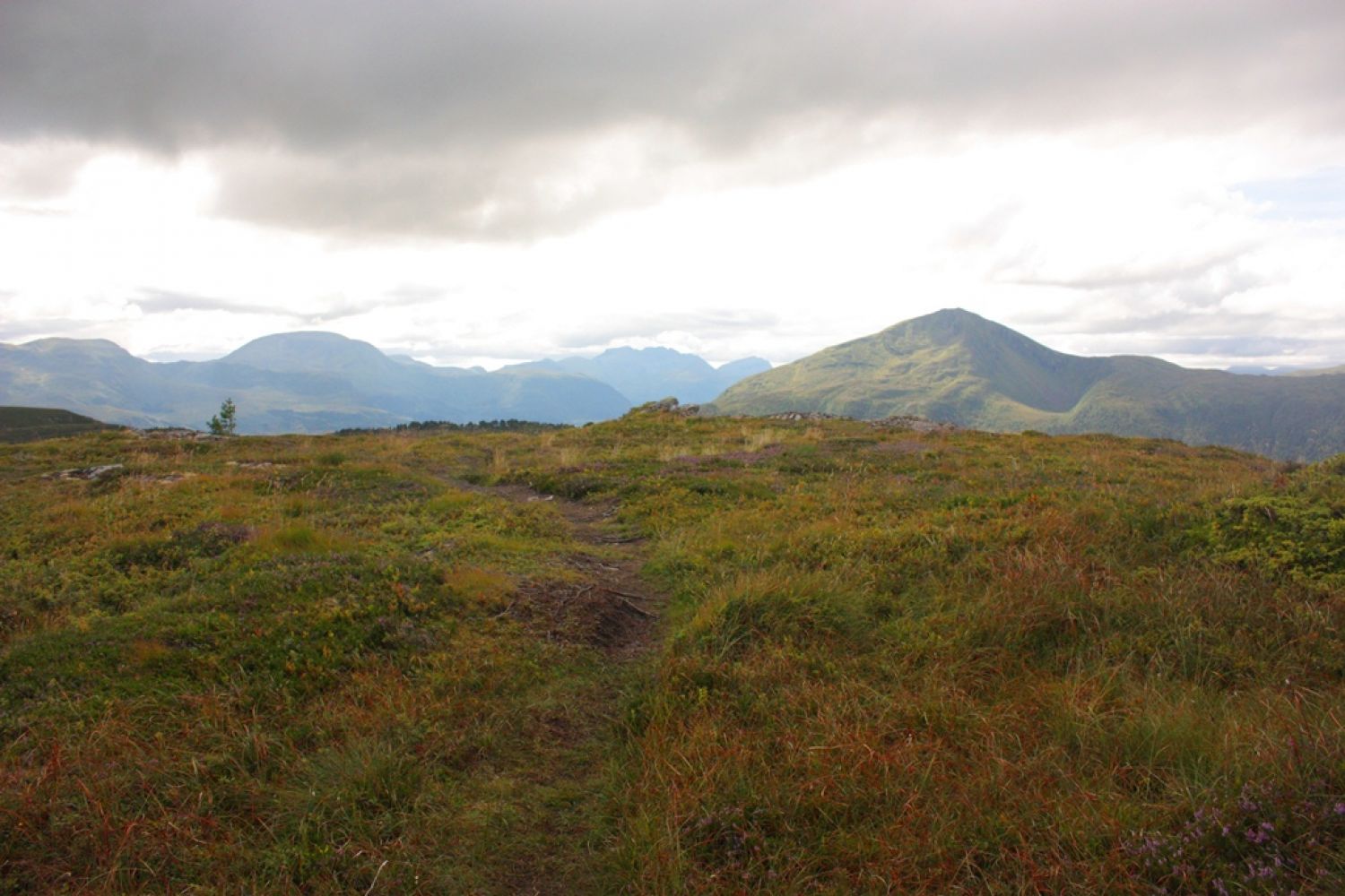
This looped trail is a balm for the soul. It involves walking uphill and offers a number of ascents which will give your heart muscle a bit of work to do. After turning into a path it runs through heathland. Pleasant view. On your way down the trail follows a well-defined path which later changes into a gravel road.
Route description
The trail starts at the car park. Go back to County Road 64 (Fv64) and turn left. Follow the way around the turn. On your right-hand side you will see an open area which serves as a parking or a storage area. A forest road begins here. Follow the forest road inwards. After a couple hundred metres it will swing slightly to the right. Follow this road. The road is gradually ascending. At some point the forest road changes into a path. This path will eventually take you up past a bench with a heart-shaped hole in it. You can take a rest here and write your name down in the trail journal. From here, follow the path to the right of the bench that continues further up. The path swings to the left and continues up through the forest. Follow this well-defined path as it takes you up above the tree line and leads up to the trail postbox at the top of Ristuva.There are several paths running from the top down. Your direction is the one with Mount Meekknoken in front of you. It will be a path heading right. If you follow the one heading left, it will take you down in the direction of Kvernes. Follow the well-defined path on your way down until you walk on the road again.
Access and parking
The trail starts from the Bådalen school and the school museum.
From Eide and the Atlantic Road: Drive along County Road 64 (Fv64) to Bådalen. Follow the road until you see the Bådalen school and the school museum on your left-hand side. After you pass the school museum, take the first turn to left and then another one to the left again. Park your car at the car park there.
From Kristiansund: Drive along National Road 64 (Rv64) to Averøy. The road will take you through the Atlantic Ocean Tunnel. Drive through Bruhagen and further to Bådalen. You will be passing a the public outdoor area on the island of Omfarøya on your right-hand side. The road swings to the right. Right before you come to the Bådalen school, take the right and then the left turn. Park your car at the car park there.
There is a car park in front of the Bådalen school and the school museum. Free parking.
Hiking route
Blue
Distance
7,7 km both ways
Elevation
0 m
Duration
2 t. 0 min.
Mobile coverage
Map route
Surface type
Distance
Asfalt
0,7
Sti
3
Public transport
Buss connection with Bådalen. There is a bus stop in front of the Bådalen school and the school museum. Please see http://www.177.no

 Driving directions
 Route data