Ringefjellshornet, route 16d
Vanylven
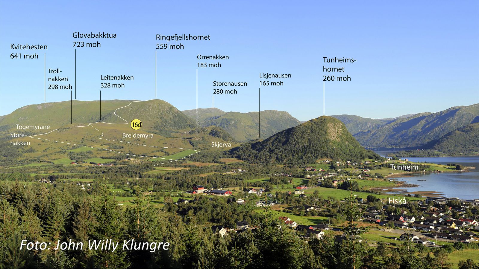
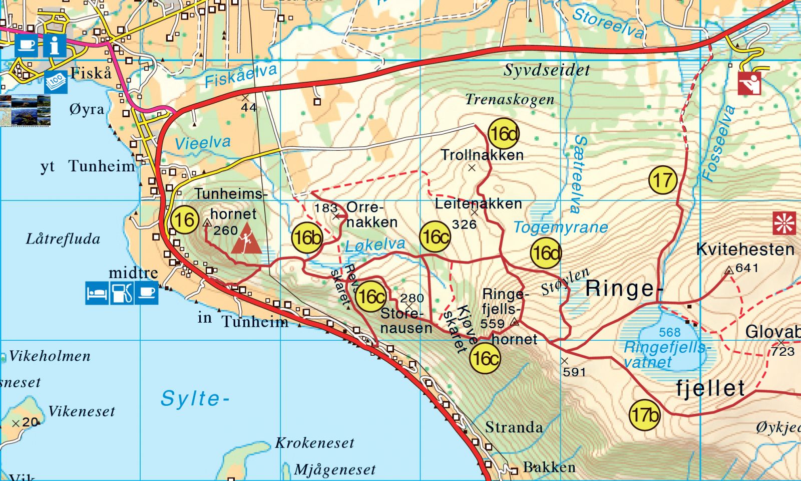
This short hiking trail will take you to Ringefjellshornet at 559 m a.s.l., which is a nice viewing point over Fiskå, the Stadt Peninsula, and the ocean. It can also be a starting point for the hike further to Lake Ringefjellsvatnet or a longer trail past King Ring’s grave and further to Svartetua and Blåfelden. This is also the easiest route to Ringefjellsvatnet because of the road that takes you up to 200 m a.s.l. at the start.
The first section of the trail runs through gentle terrain with peat surface before it becomes steeper. You will follow a fairly good-quality path the entire time.
If you are driving from the centre of Fiskå, drive to the junction at the national road where you can choose between turning to Åheim or Syvde. Drive for 650 metres in the direction of Syvde, turn right at the first junction and then turn left. Drive straight ahead until the road ends at the height of about 220 m a.s.l.
It is usually okay to park at the starting point of the trail at the end of the road.
Duration
2 t. 15 min.

Sesong
Spring, Summer, Autumn
Signage
Both signed and marked
| Surface type |
Distance |
| Sti |
5,1 |
På tur i Vanylven (Eng. Hiking in Vanylven) – can be purchased at local shops and petrol stations in Vanylven Municipality.
 Driving directions
 Route data
GeoJSON