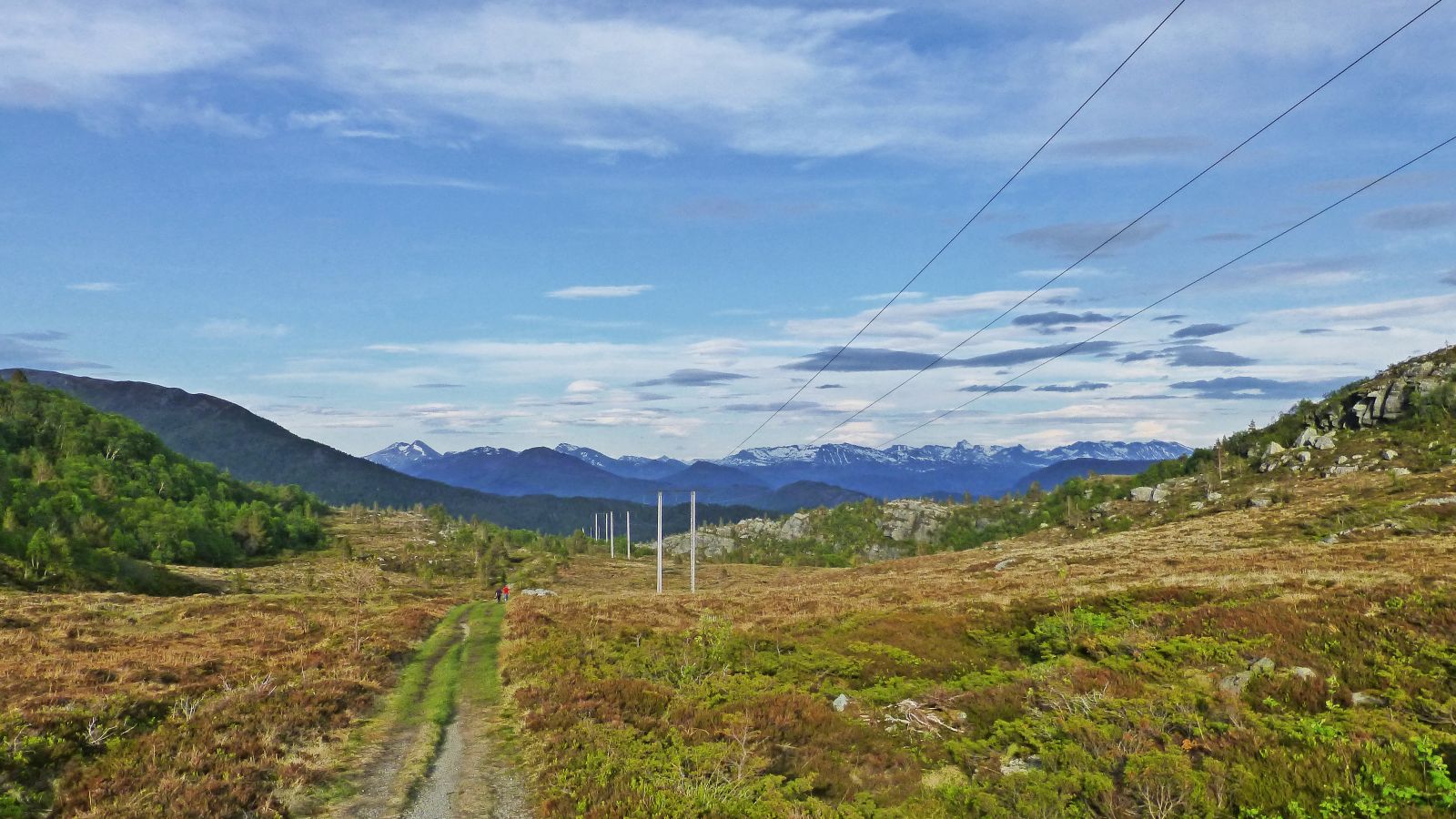
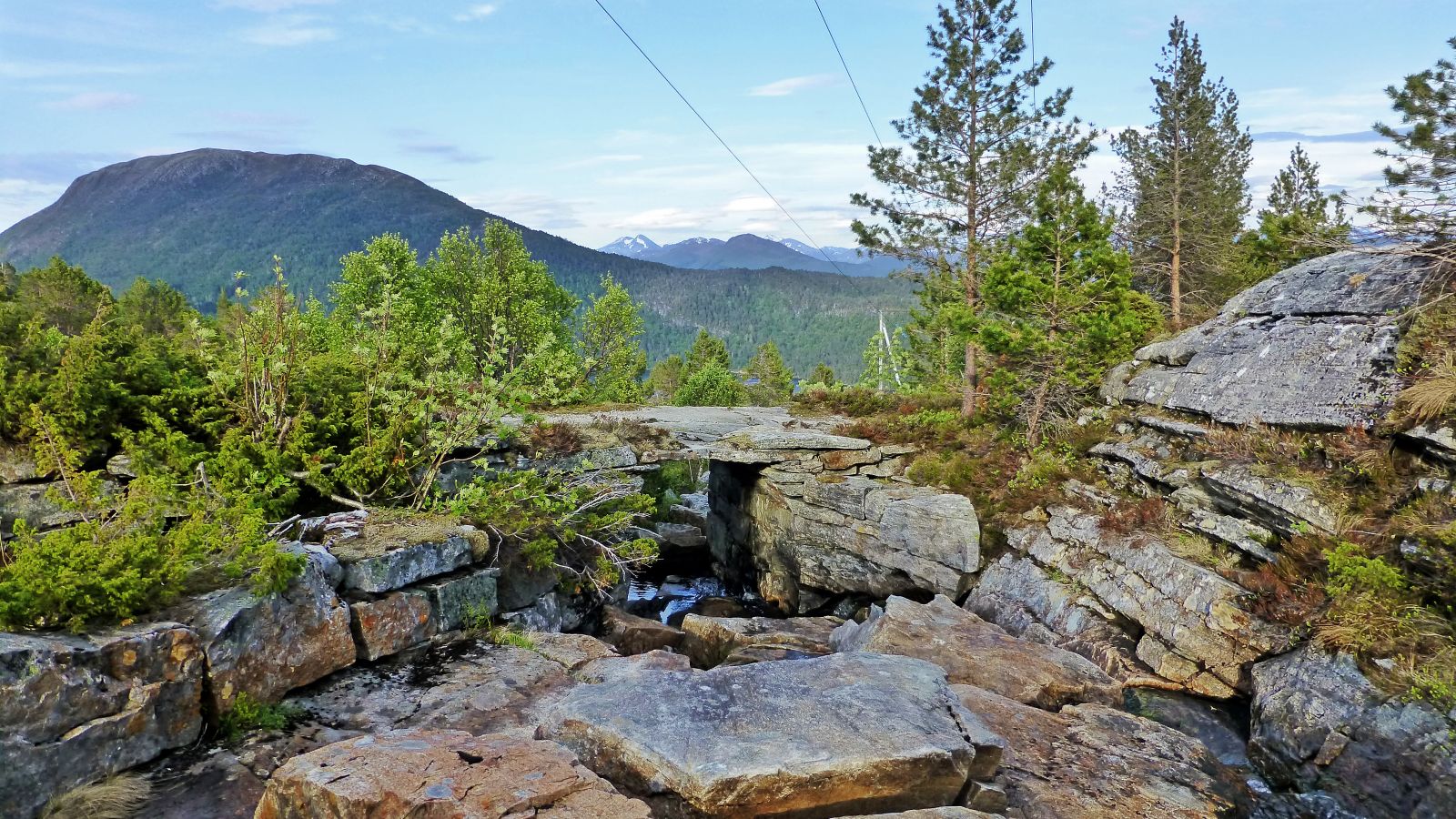
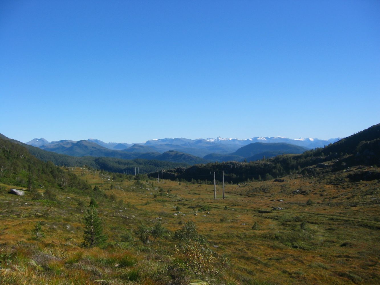
The trail up to Mount Remmefjellet (267 m a.s.l.) is a nice walk for the whole family. Back in the old days the road over Remmefjellet was the major traffic artery between Brattvåg and Vatne. Today it has become a forest road and a nice and easy tourist destination with open terrain. There is a large flat area up on Remmefjellet where the road goes parallel to the overhead power line. This forest road is also popular among cyclists.
Route description
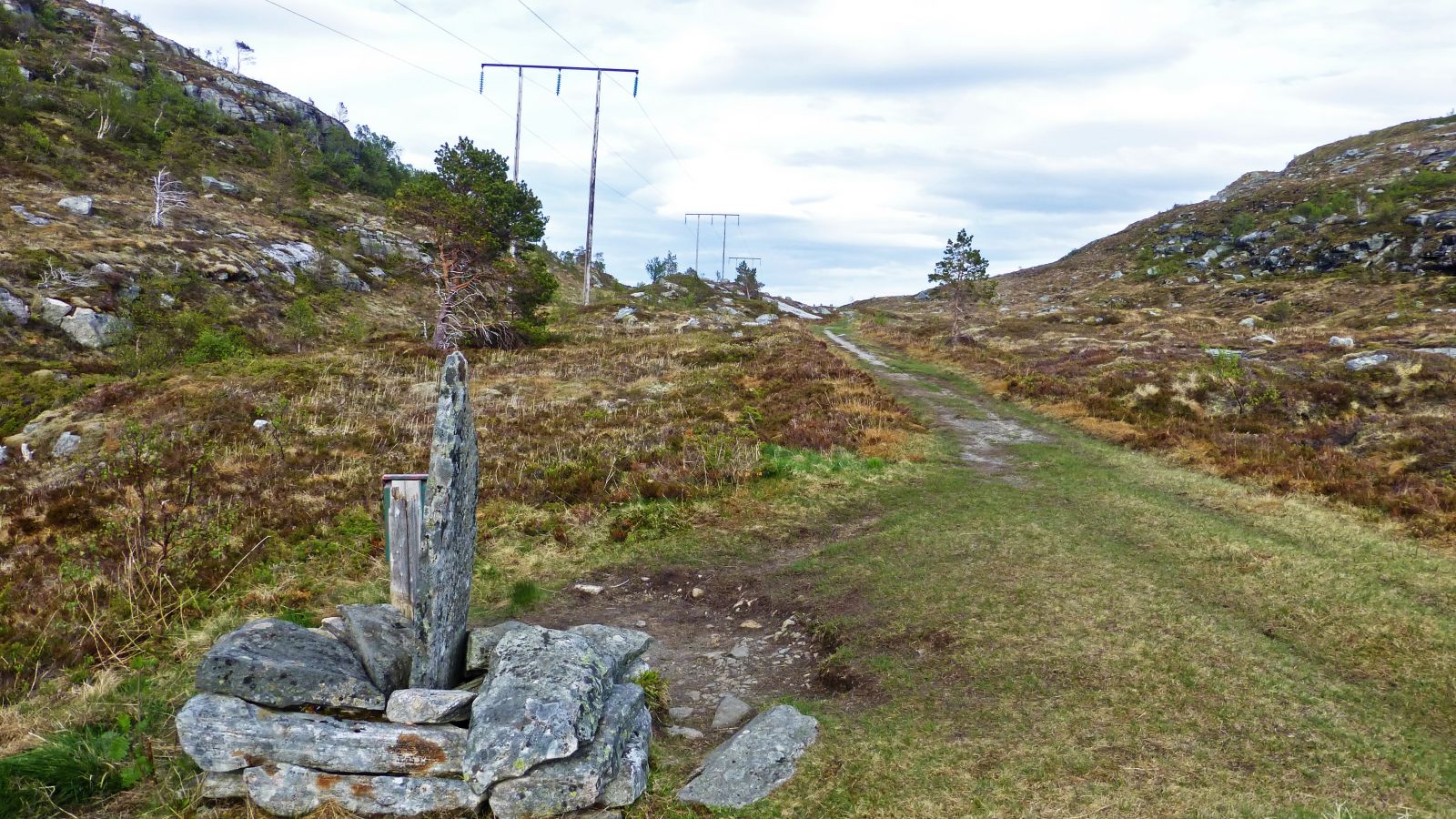
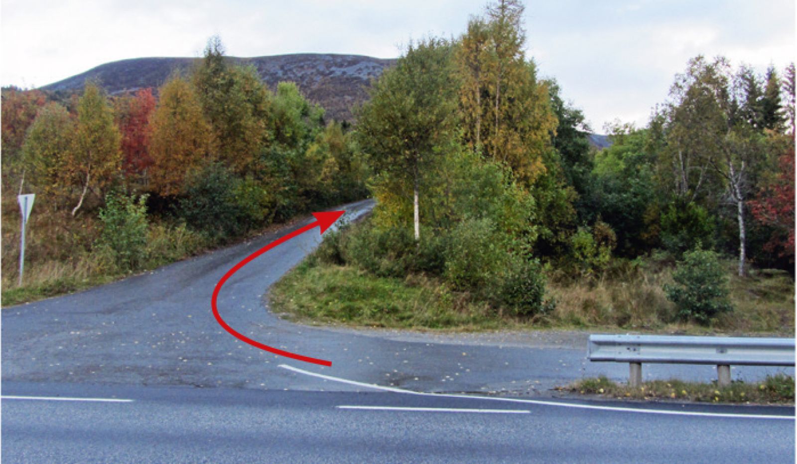
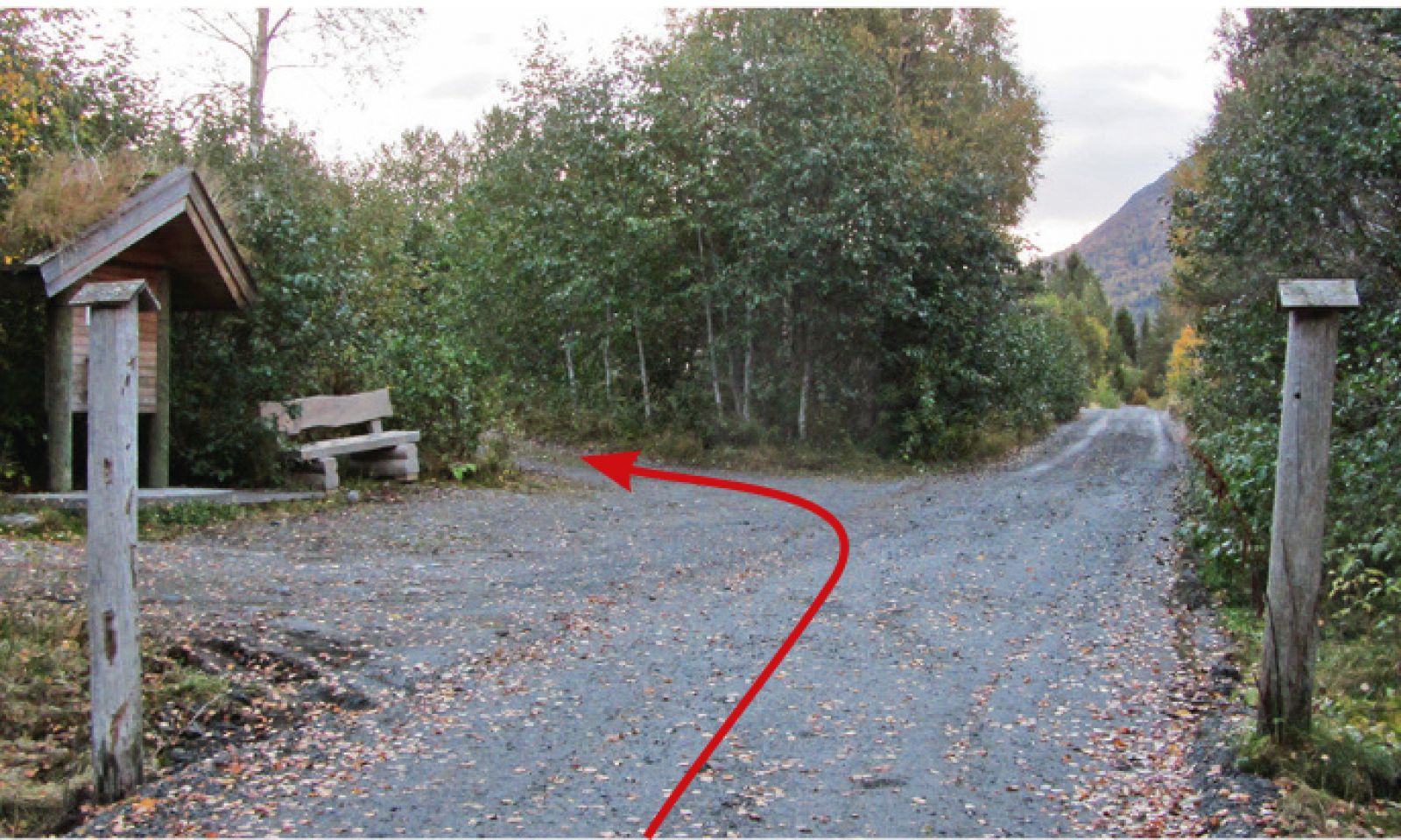
Go north from the car park following the road that runs parallel to the river (it will be on your right-hand side, if you came by car facing Slyngstad). After about 400 metres, just as you pass a cattle grid, you will come across a board with the information about fishing licences. Take the turn to the left at the sign to Remmefjellet and Urfjellet. You will soon see a couple of cabins where you need to turn left onto a path leading through the dense spruce forest. The path is normally a bit wet. Take the right turn onto the nice and dry forest road as it gradually ascends towards Mount Remmefjellet. Right before the old stone bridge over the river, there is a bench where you can enjoy the great view towards Tennfjord and Lake Fannevatnet (Slyngstadvatnet). Right after the stone bridge, you will walk through the section of gentle terrain. Carry on walking further to the trail postbox which is placed by the stones right before the road starts swinging down again in the direction of Remme. A picnic area is set up near the trail postbox.If you would like, you could extend this trail to either Øygardsheia or Urfjellet.
By the trail postbox, just before the road swings down towards Remme.
Access and parking
Turn off E39 onto County Road 661 (Fv661) towards Brattvåg and Vatne. Drive along Fv661 past Lake Engsetdalsvatnet and cross the border of Haram municipality. At the junction in Eidet, take the turn to the left onto County Road 659 (Fv659) towards Brattvåg. After about 3.5 km you will come to a bridge over a river. There are parking spaces here on both sides of the main road.
If you are coming from Ålesund, you can drive along National Road 658 (Rv658) via the undersea tunnel and then across the island of Ellingsøya following National Road 107 (Rv107) towards Stette in Skodje municipality. When you reach the junction with the sign pointing to Rv661 towards Brattvåg, turn off to the left. From the sign marking the municipal border of Haram, follow the same route as described above.

 Driving directions
 Route data