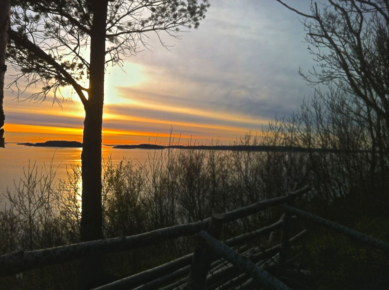
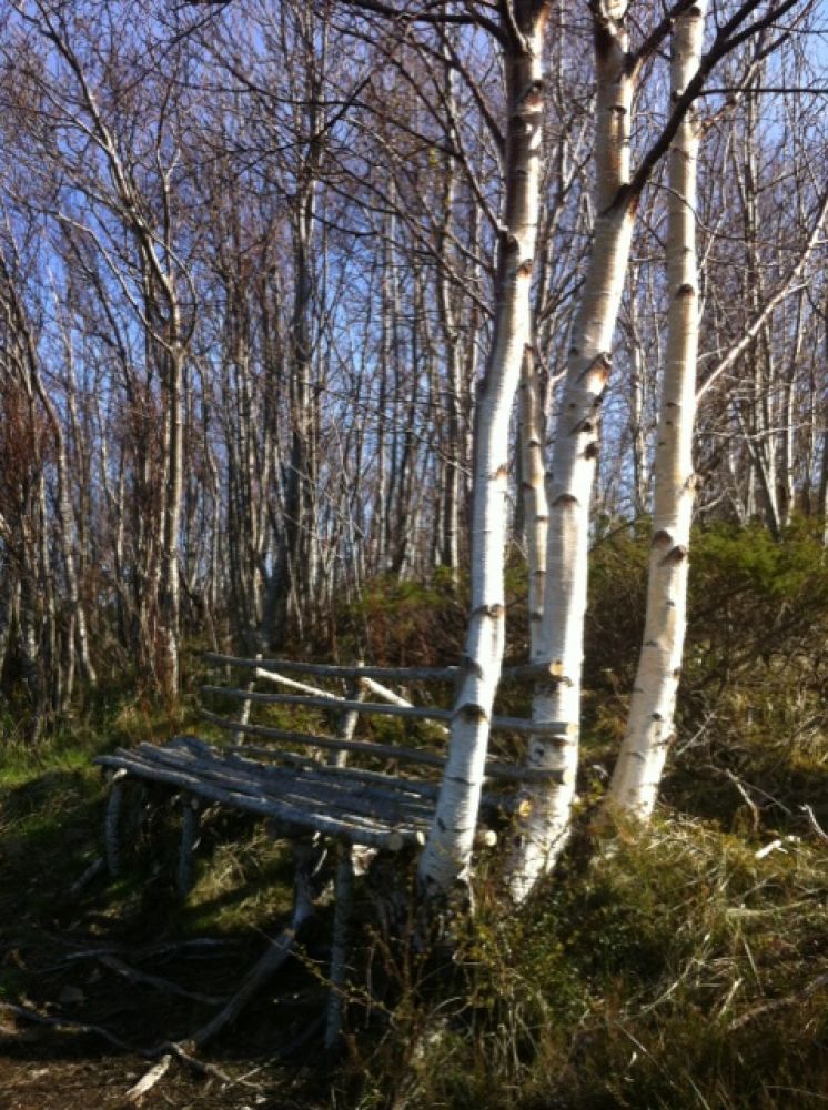
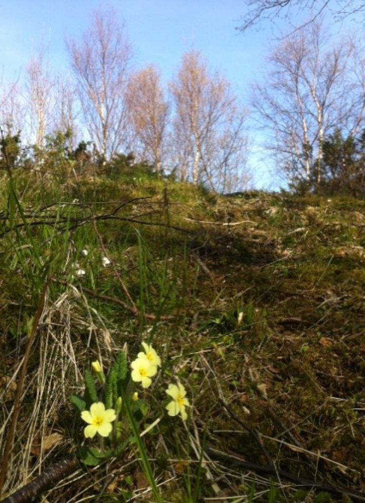
This idyllic forest trail in Julsundet is short and does not climb steeply uphill at the start. The trail follows a regular forest track with varied surface. At the outermost point of the trail there is a nice bench with an amazing view of Julsundet and Otrøya. In Kobbevika, down to the left, just off Ramshaugen there is a small swimming area and a picnic area. A stone mound is located in the forest on the right side of the path in this area.
Route description
The trail starts at the car park with a toilet building, down on the left by the road exit to Eidskrem.The starting point is marked with the name of the trail and a Stikk UT sign. The tour follows a soft hiking trail around Ramshaugen.Some parts of the trail are a bit soggy. Some steeper sections of the route begin right after the postbox which serves as a trail checkpoint.
Access and parking
The trail starts at the car park near Ramshaugen. Follow County Road 662 (Fylkesvei 662). It is about 12 km from Molde to the road exit down to the left in Eidskrem. Take the left turn at the next junction which is only a few metres away from the road exit. At this junction you will see a sign to Ramshaugen and a Stikk UT trail sign.
If you are coming from the north, turn off to the right after the end of the sidewalk and the bus bay in Eidskrem.
There is a large car park at the start of the hike.
Hiking route
Green
Distance
0,55 km one way
Elevation
32 m
Duration
15 min.
Sesong
Winter, Spring, Summer, Autumn
Highest Point
33 masl
Map route
Surface type
Distance
Sti
0,5
Public transport
There is a bus connection to Aukra and Fræna across Julsundet, but with just a few departures.
Other
Public toilet at the start of the hike.
There is a stone mound on the way down to Kobbevika.
NB Parts of Ramshaugen are very steep, especially its northernmost area. Take good care of the children.

 Driving directions
 Route data