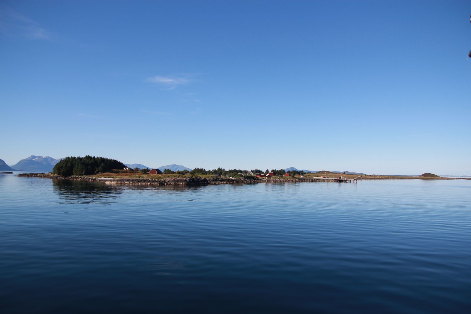
This wonderful trail takes you through the idyllic island of Orten, one of the many islands in Outer Romsdal. With its 10 permanent residents, a post office and several farms, the island is a fascinating tourist destination. Enjoy the magic atmosphere of the island both in good and stormy weather! A Stikk Ut trail postbox is placed on Rambjøra (28 m a.s.l.), the highest point of the island. From here, you can enjoy a fantastic view of Orten and plenty of neighbouring islands, such as Sandøya, Harøya, Ona, Midsund and Aukra. When the weather is good, you get a clear view all the way to Sunnmøre. As you walk down the trail, you will see several farms, cows grazing on the fields and birds. You will encounter some amazing vegetation and wildlife on the sections of the trail between the sea and the land, on the beaches and bare rocks and in shallow bays. If you are lucky, you might spot an otter or a sea eagle whose population is now rapidly growing. A section of the trail also goes through a small coniferous forest on both sides of the road.
Route description
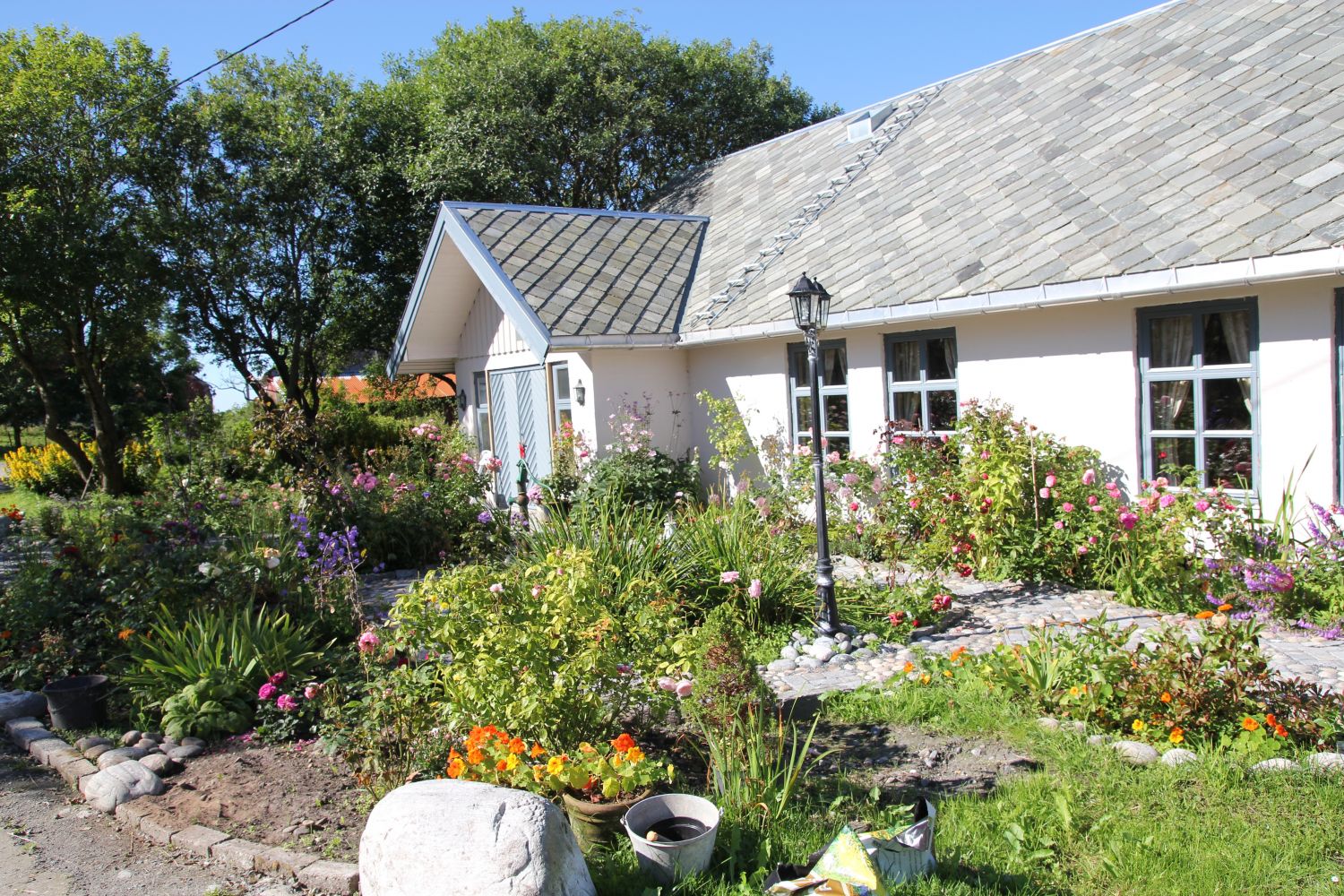
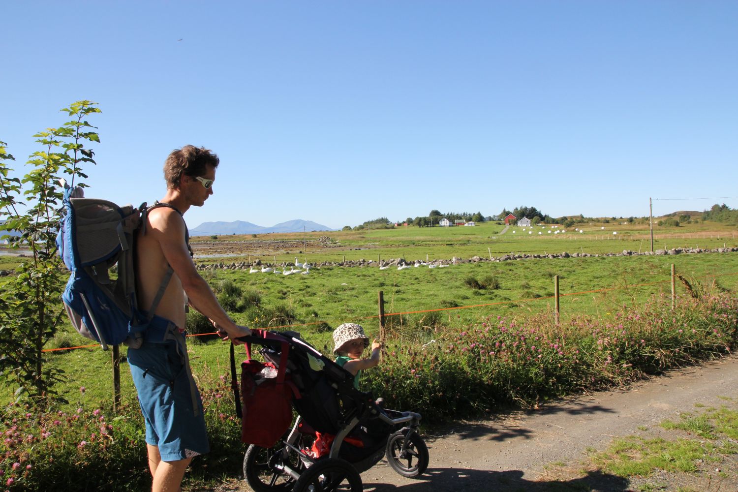
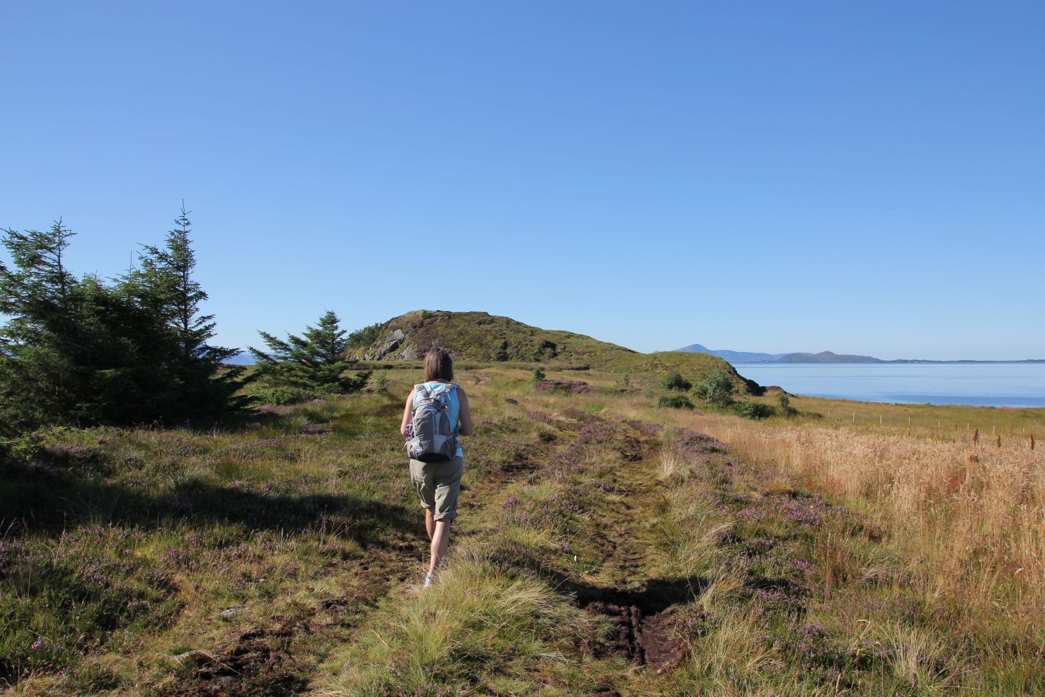
Start walking from the ferry terminal on Orten Island. Follow an asphalt road for about 20 m before it turns into a nice gravel road. Right after you pass the post office on your right-hand side, you will come to the first road crossing. Take the left turn there. You will see a house with a beautiful garden where the road takes a turn. Keep to the right at the road crossing. When you came to the next road crossing, keep walking straight ahead. You will walk along the road with coniferous trees on both sides. You will also pass a nice small cabin on your left. As you walk further, the gravel road turns into a tractor road which then changes into a path. You can now clearly see the highest point of the island with a Stikk Ut trail postbox on top. From this point on, the trail is not suitable for baby carriages and wheelchair users. The path runs through a marsh for the final 200 m before a steep ascent to the top. Once you are up on Rambjøra (28 m a.s.l.), you will get a fantastic view of the island and plenty of neighbouring islands as well.
Access and parking
The trail starts from the ferry terminal on Orten Island. Drive from Molde to Hollingen and take a ferry to Aukra. Then drive to Småge and take another ferry to Orten. You can leave your car at the ferry terminal in Småge.
Many people choose to get to the island by private boat. In that case you can use the guest harbour on Orten Island.

 Driving directions
 Route data