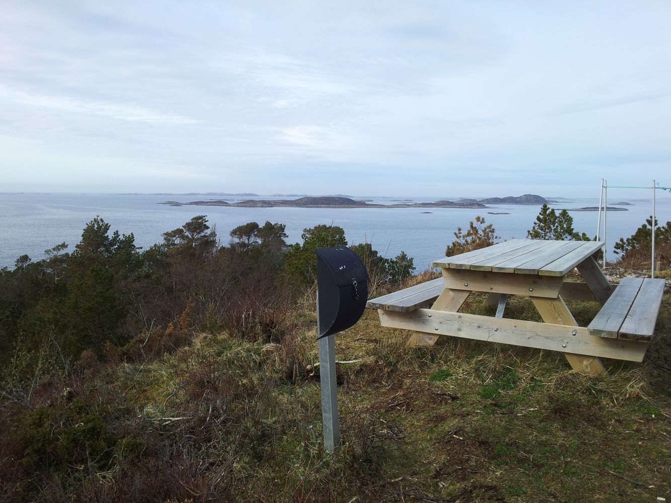
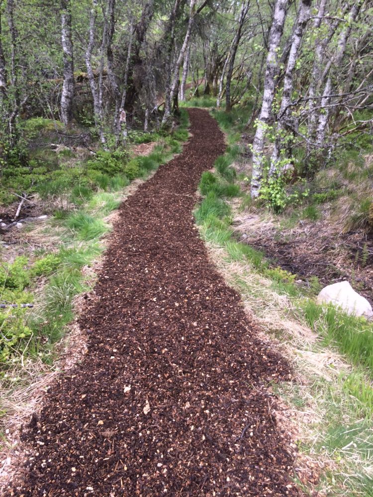
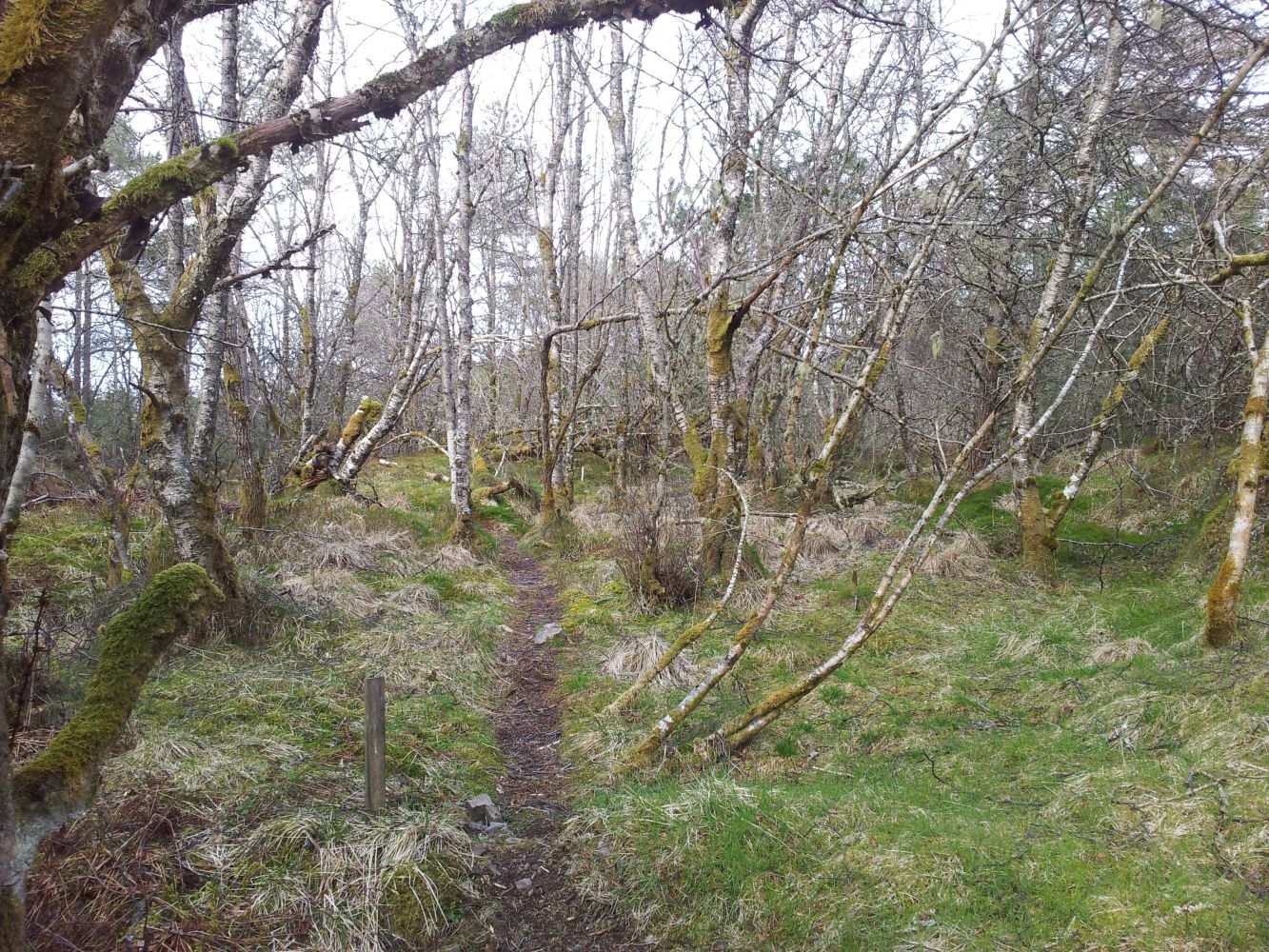
The trail starts at the airport area in Gossen and goes east towards Purkeneset.It covers some wetland and forest areas. During this hike you can visit Second World War bunkers which were used by the Germans as part of the airport defence during the war.At Purkeneset you can enjoy spectacular views from the viewing point with benches. You will get a great view out to Hustadvika and towards Bjørnsund. The area offers great opportunities for fishing from the land at Purkeneset. The trail covers some wetland and forest areas. Alternatively you can go from Løvika. There is only a small parking area almost at the end of the road.
Route description
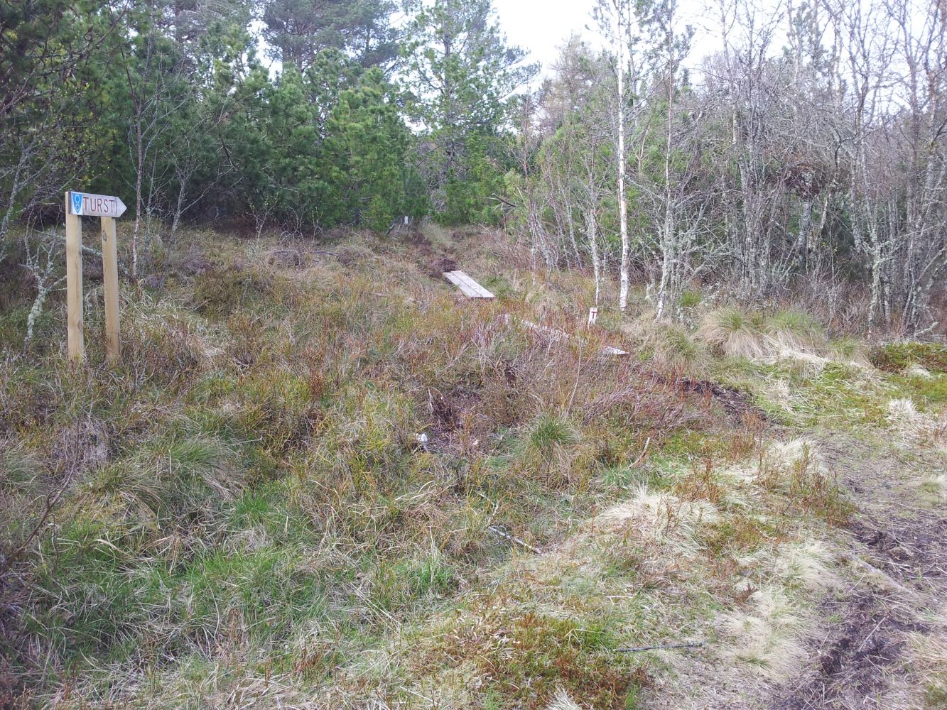
There is a ferry connection with Hollingsholmen (route 31). The trail starts at the car park by the airport located between the Rothaugen recycling centre and the fitness centre owned by the Environment, Health and Safety Centre of Aukra (Aukra Sikkerhetssenter). GPS coordinates: N:6969506 E:389357 Drive from the ferry terminal towards Falkhytten. Drive past Falkhytten and follow the road sign to Sporsem. Near the old Riksfjord school / Betania chapel take the turn to the left. Continue straight ahead for a few kilometres. You will then come to the airport area where you will find a car park marked with a sign saying “tursti” (hiking trail). Follow the tractor road from the car park along the fence. After having walked along the fence for a while, you will come to a junction. Here you can continue straight ahead and walk through Kleivhaugen or turn right in the direction of Purkeneset. Carry on following the path which at some point will change to a forest road. A couple hundred metres from here, you will find a place for a bonfire. The trail continues further towards Purkeneset. When you reach the upper edge of Løvik, the path will swing to the left into a nice forest area with plenty of old trees, including larch forest. Here you will pass several bunkers before finally reaching Purkeneset. You can either follow the same route on your way back or continue down a steep section of the trail in the direction of Løvika.
Purkeneset is the endpoint of this trail. GPS coordinates: N: 6970646 E: 390161
Access and parking
Drive from the ferry terminal towards Falkhytten. After you pass it, continue in the direction of Sporsem. Near the Riksfjord school take the turn to the left onto the Hauglandsvegen road. Continue straight ahead for a few kilometres. You will then come to the airport area where you will find a car park marked with a sign saying “tursti” (hiking trail).

 Driving directions
 Route data