Paddling route to Vollvika and hike up to Yste Skotet
Sykkylven
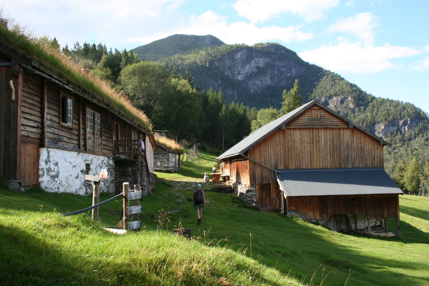
A lovely paddling route that combines a beautiful cultural landscape and history. After the paddling trip, you can walk up a steep hill to the Yste Skotet farm. Most people will need about a half hour on the way up to 225 masl. The path is good, and suitable for people with a fear of heights! A rare gem of a mountain/fjord farm, with a nice path southward to both the Me Skotet and Inste Skotet farms. If you choose to hike up to Yste Skotet, you can enjoy the cultural history and stunning views of the fjord. Yste Skotet by the sea. Decimal degrees: Latitude: 62.41619 Longitude: 6.89953
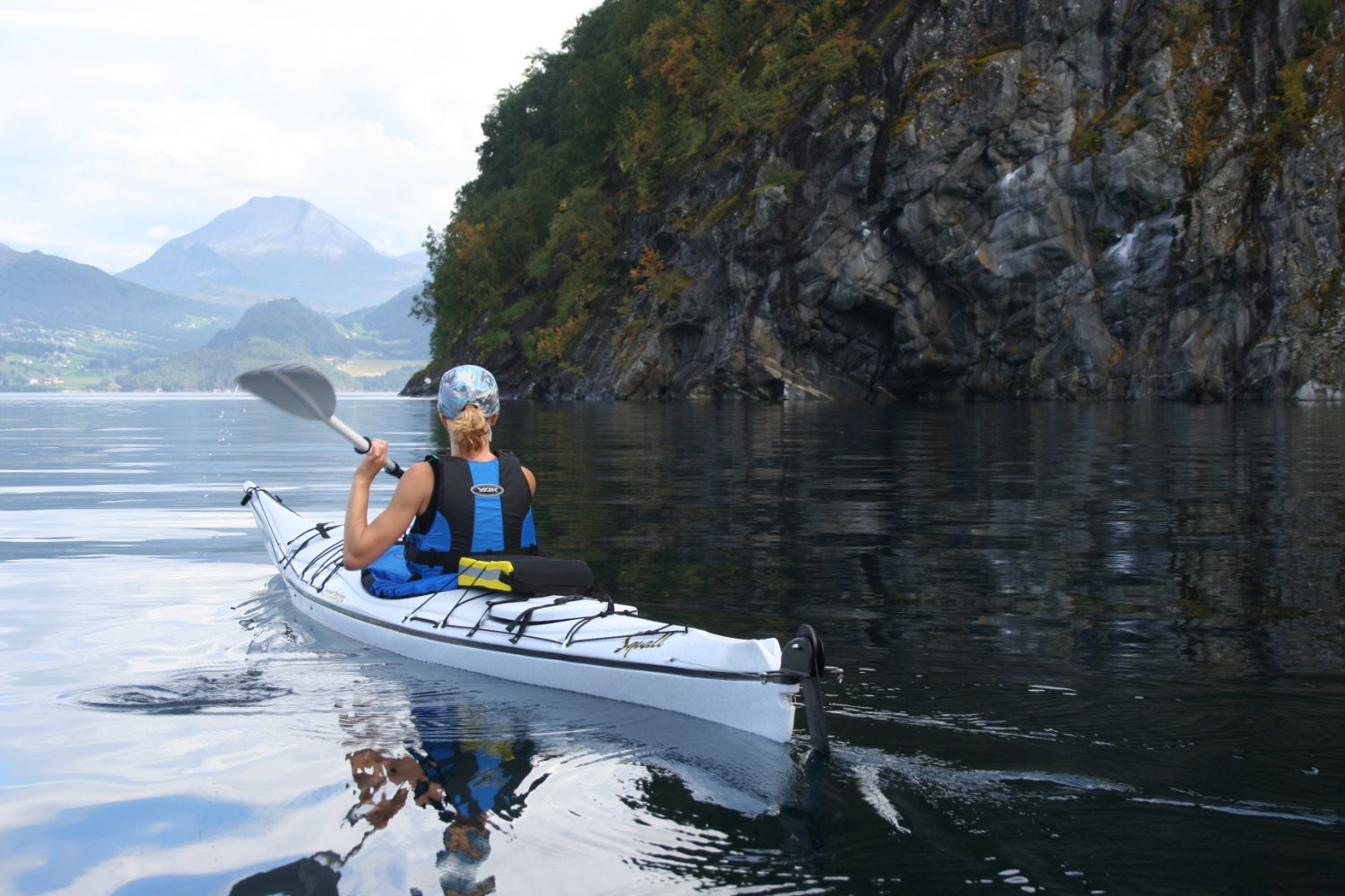
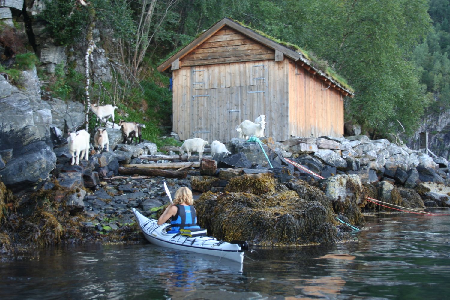
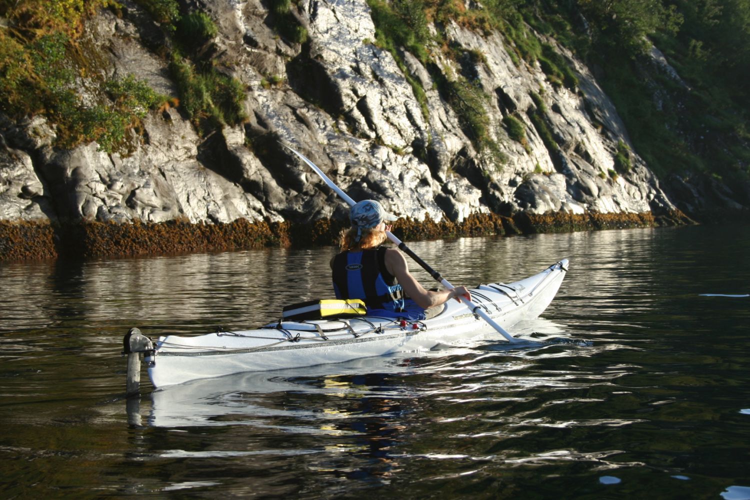
Start by launching from the Ramstad dock, a good place east of the dock (on the right side). The surrounding area is idyllic. The starting point into Ramstadvikja will be smooth before setting course eastward to paddle around Bugneset. Keep a good distance from the mountainside where it is steepest as there may be some falling rocks. It is possible to fill water from the river that runs into the fjord from Bugane. There are some interesting patterns in the tide levels on the sloping rocks by the shore. If you're lucky, you may spot an eagle sailing over the fjord. The next steep bluff you will be rounding is Kjeflåneset. Then gradually turn south and continue along the shoreline past Vollvika and Vollvikneset. The terrain along the fjord is lusher with both aspen and pine trees. From Vollvikneset, paddle straight across Vollvika to the boathouse nicely situated on the south side of Vollvika. This is where the path up to the idyllic Skotsgardane farms begins. The first place you will come to is Yste Skotet. The route is approx. 6.5 km in paddling distance one way and takes about 1.5 hours when paddling at a normal pace.
Exit from Sykkylven centre by the leisure boat harbour. There are signs there for Ramstaddalen. It is about 10 km from Sykkylven centre to the Ramstad quay. You will first arrive in Søvikdalen. When you reach Klokk, continue straight along the road
(left) and down a steep hill. Do not continue over the bridge. Instead, turn left and drive down towards the sea. You can also approach from Standa, turn at Fjellseterskifte and drive directly down to Ramstaddalen. Once you reach the valley, turn right. At Svindset, swing left towards the primary school, then over the bridge and to the right towards the sea.
Ramstad quay:
Decimal degrees
Latitude: 62.4304 Longitude: 6.78655
You can park at the Ramstad quay down by the boathouses. Be aware that this is a place where larger vehicles can turn around. If in doubt as to where you can park, ask the local cashiers at Nærmat.
Duration
3 t. 25 min.

You can get to Ramstaddal by taking a bus. Route 15-227 (252) Sykkylven- Ramstaddal- Søvikdal
Find the schedules at
http://www.fjord1.no. There are few bus departures, especially during school holidays.
At Skotet you can find one of the few remaining species-rich marshes in the country. The grassland at Ytste Skotet is registered in the Naturbase database with a high priority. This means that the meadow has a national value as a protected grassland with significant biological diversity. The self-sufficient Yste Skotet farm is located further up the hill (Stordal municipality). Sunnmøre Museum has the primary responsibility for running the Yste Skote farm. The museum wishes to present this historical way of life, use of nature, handicrafts, animal husbandry and cooking to the public. They require a small museum fee from guests to maintain the farm and cultural landscape. Children NOK 20 and adults NOK 40 (in 2011). In addition, Yste Skote has its own volunteer organisation and a close partnership with the Friends of Storfjorden.
Trail map for Sykkylven, Stranda blad 1219.
Yste Skotet - Stiftinga Sunnmøre Museum
 Driving directions
 Route data
GeoJSON