Paddling in Frenfjorden
Hustadvika
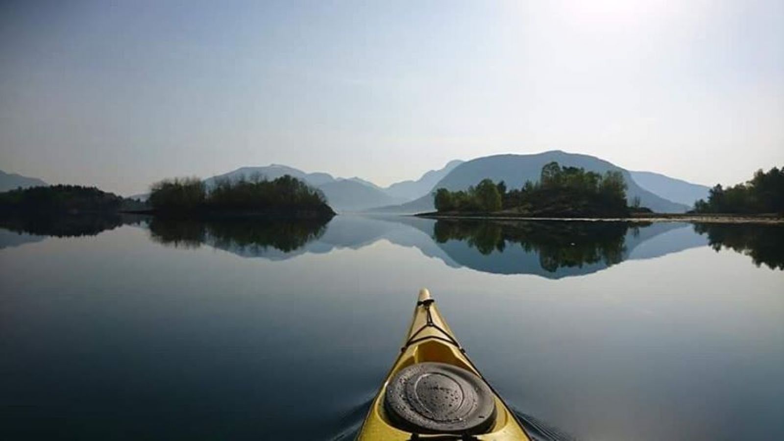
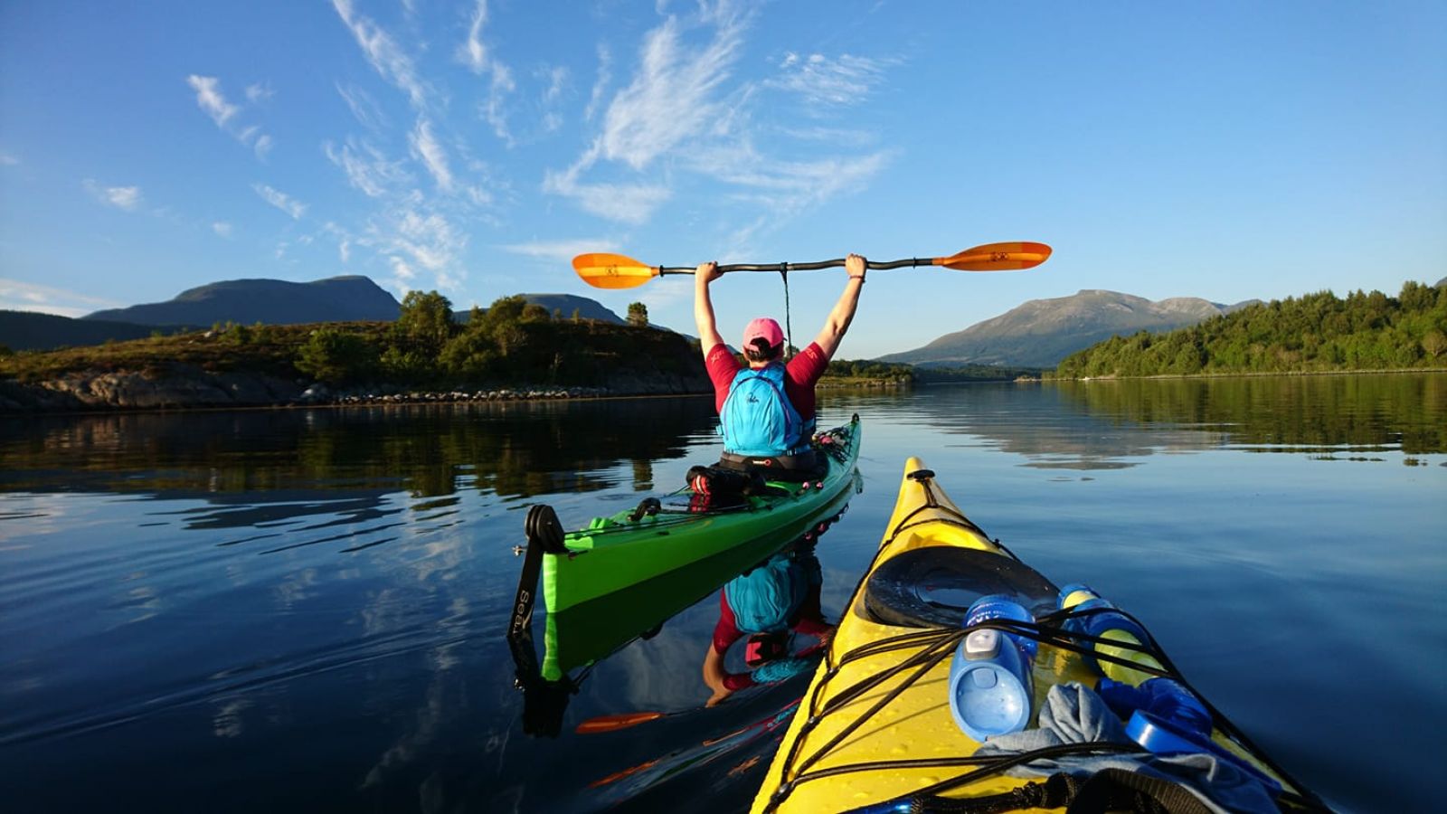
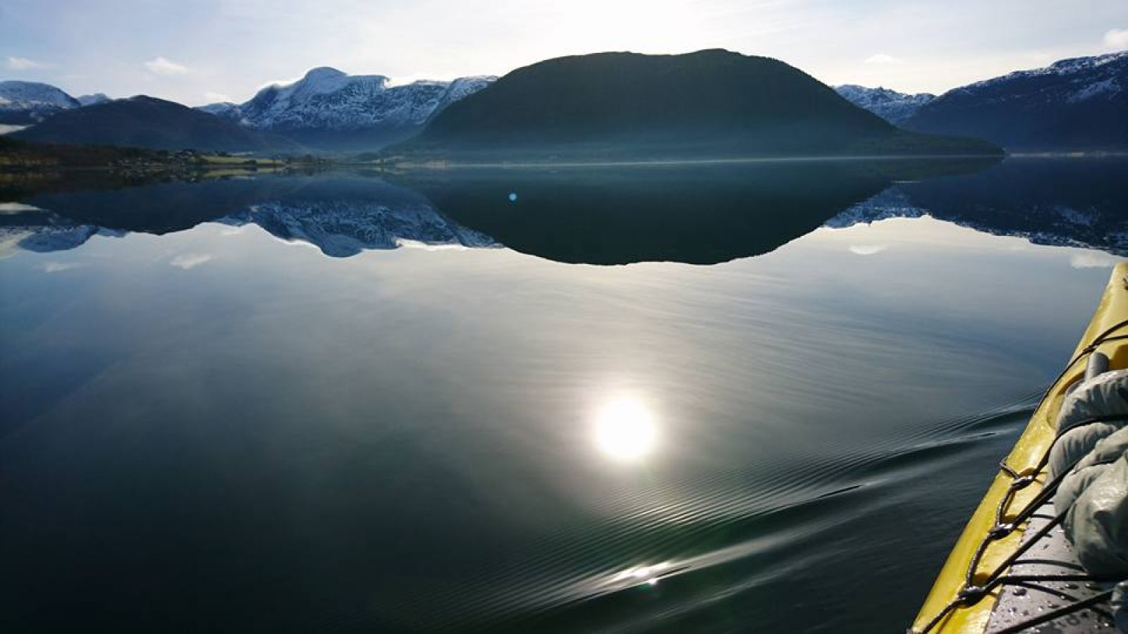
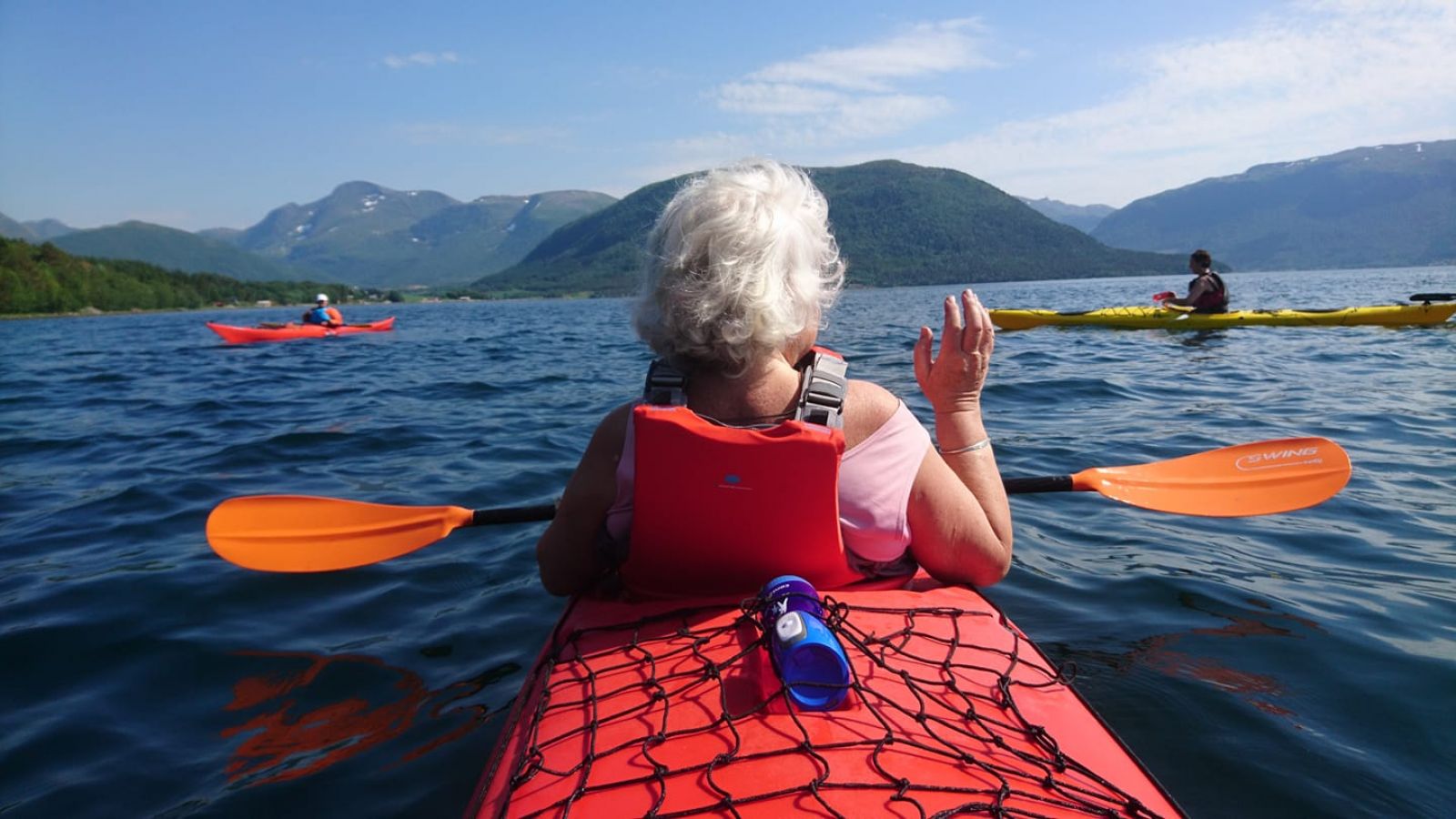
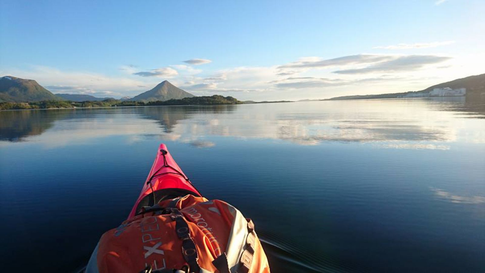
From the beach at Elnesvågen Activity Park, you can paddle out to Elnestangen and further out between lovely islands and islets in Frenfjord. The route passes through sheltered waters and there are many route alternatives. There are also many options for going ashore on the islets, such as on Elnestangen, Knorrholmen, Grisvågleira and Ålvoren.
At Elnesvågen there is a large leisure boat harbour and activity park near the sea. There are signs from the motorway to the city centre. Here there is a swimming beach, sand volleyball courts, fitness facilities and hiking trails. You can start your paddling route from the beach or the first boathouse at the parking area. Both places are good launch sites.
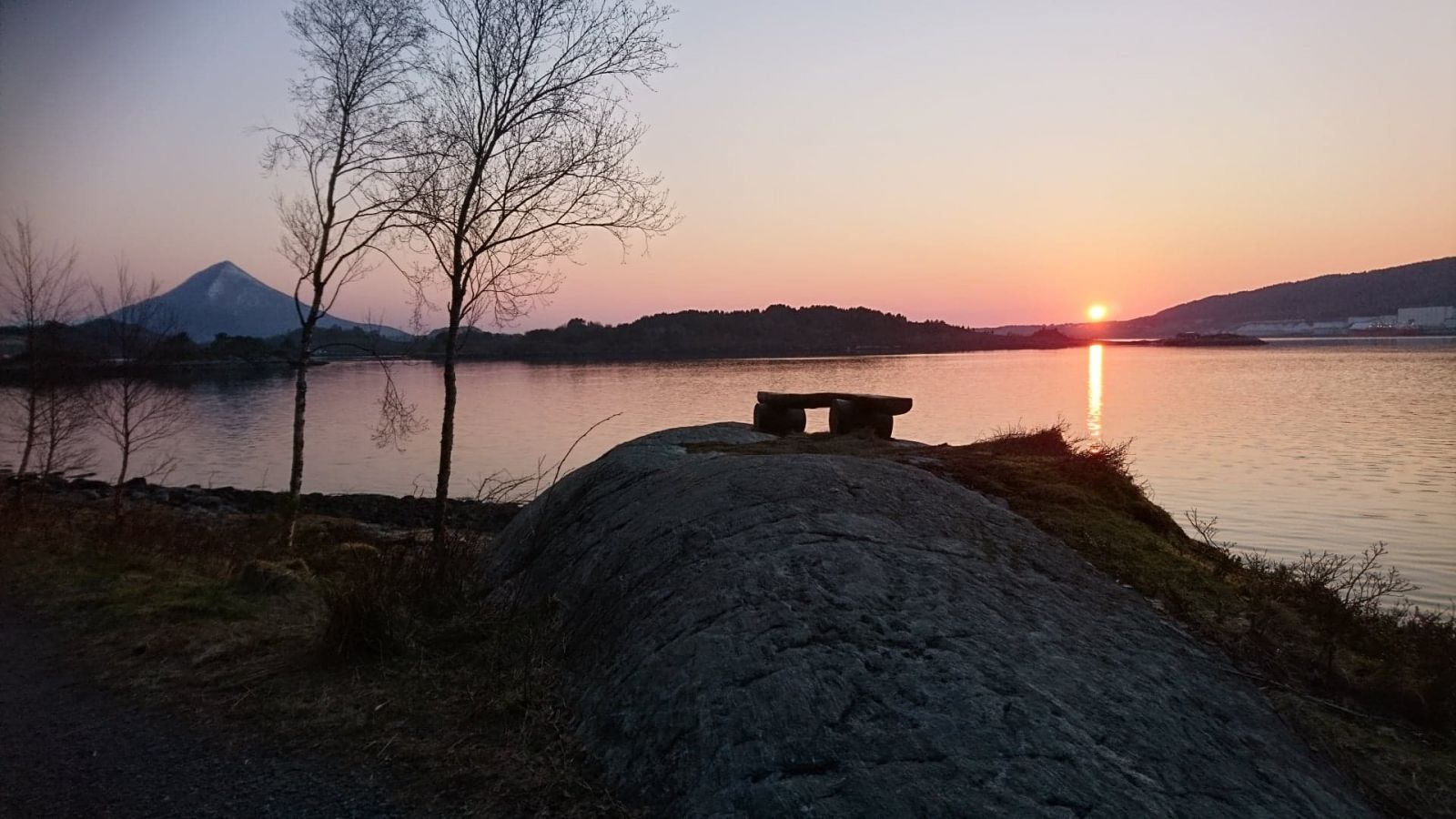
It is safest to paddle along the shoreline eastward through the bay and continue along land until you reach Elnestangen. You will see a campfire pit and benches here that you can use, as this is a good place to stop for a break. In this way you can stay away from the sea lane, which mainly leads from the harbour and westward through the fjord towards Tornes.
From Elnestangen, it's a good idea to cross over to Grisvågleira, where you can go ashore. Here there is a small dock and a few benches on land that have been approved for public use by a generous landowner.
From Grisvågleira, there is a lovely route westward between the islets. One favourite destination for paddlers in Frenfjord is the island of Ålvoren. The northeast side of the island is a good place to go ashore. It has some interesting sofa-shaped rock faces where you can enjoy the evening sun and a bite to eat. There are a few larger trees on the south part of the island where you can hang a hammock and spend the night.
There are also many other islands to paddle around further in towards Aureosen and Malmefjord, such as Svenøya/Svinøya, Beøya/Bøyna, Aureholmen and Langøya. You can make the route shorter or longer as needed. No matter what you choose, the route will offer many enjoyable kayaking hours.
You can park at Elnesvågen leisure boat harbour, as the municipality has contributed extra parking for beach guests and others. There are signs for visitor parking and there's plenty of room. It's a good idea to park north of the parking area (gravel area) and not down by the docks, as these spots are intended for the Elnesvågen leisure boat harbour. If this area is full, you can unload your equipment and park further up the road in the parking area for the Elnesvågen Activity Park, approx. 100 m.
Distance
17,02 km one way
Duration
4 t. 15 min.

Sesong
Spring, Summer, Autumn
Bus to Elnesvågen. Note that it is about 500 metres down to the boat harbour.
Check the bus schedules at
http://www.FRAM.no
The route leads through sheltered waters and you can paddle close to land almost the entire way. There are a couple of crossings where you can stay relatively close to land. Strong winds and sudden rain from the northeast and west may cause challenging conditions.
 Driving directions
 Route data
GeoJSON