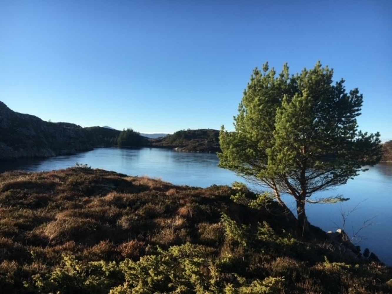
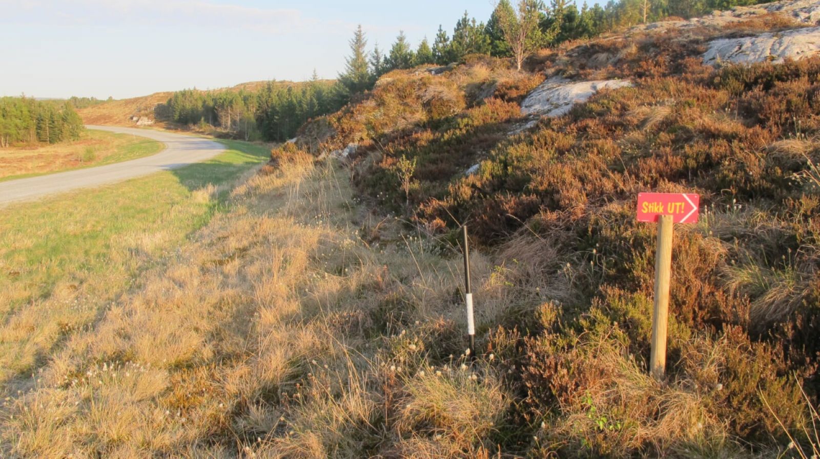
The trail starts near the Memorial on the island of Langøya. There is plenty of parking space here. Go back over the bridge and a bit further along the main road. The major part of the trail up to the trail postbox runs through a nice blend of rocks and path. There might be some damp sections of the trail along the way. When you reach the trail postbox, you can choose either to go back the same way or try a new path which is normally somewhat damper than the section you have covered up to that point.
Route description
You will pass the Spissteinen stone which was one of the destinations of the StikkUt fitness trails in 2016. From here, have a look at the crane in the west.
Follow the signs leading to Ostervatnet via the Spissteinen stone. Then you can choose to go down a looped trail which is a bit shorter, but more challenging in terms of the terrain. The trail postbox is located down by the sea. If you take your time to enjoy the surroundings you will normally be able to spot some white-tailed eagles. The description of the surface also applies to the looped section of the trail.
Arrival and parking
Car park by the Memorial 200 metres away from the Langøybrua bridge.
Hiking route
Green
Distance
2,19 km one way
Elevation
131 m
Duration
1 t. 25 min.
Sesong
Winter, Spring, Summer, Autumn
Highest Point
48 masl
Signage
Both signed and marked
Map route
Surface type
Distance
Asfalt
0,67
Sti
4,0
Other
The name of the trail comes from the time around 1940 when the oysters were famed in the area.

 Driving directions
 Route data