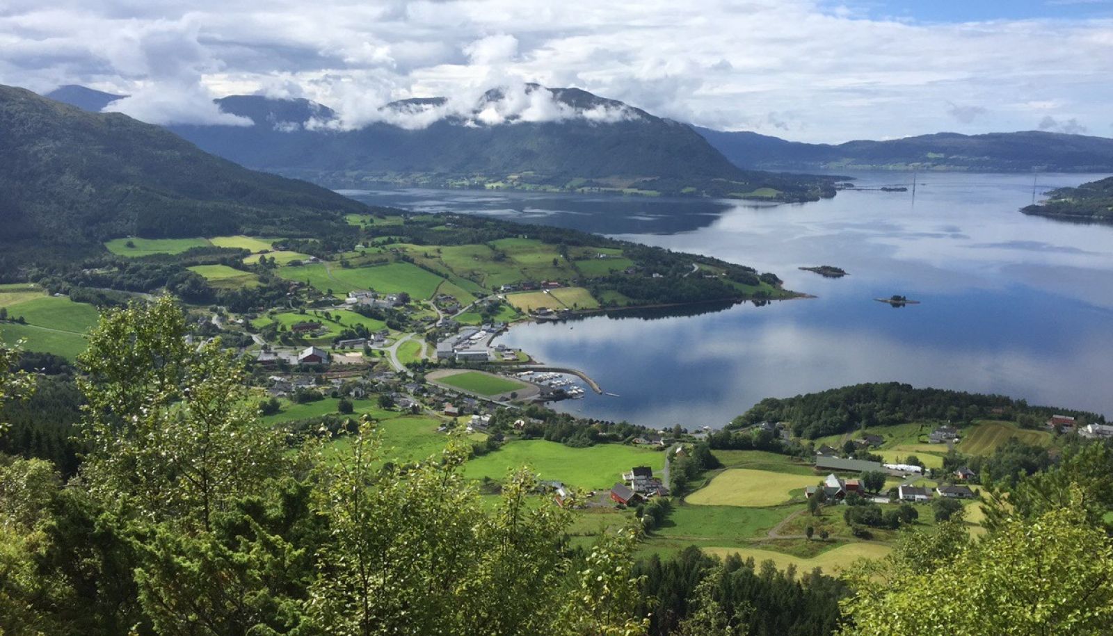
This is a fairly easy trail along well-maintained forest roads. It could be a pleasant hike on a summer evening where you can enjoy the sunset over the Gjemnessundet Strait and the island of Averøya. The trail destination is at the Orsetsetra mountain farm which offers an amazing view over the village below, the fjord, and the islands of Bergsøya and Averøya.
The hike starts from the sports hall Gjemneshallen. Walk over the bridge on the hillside just above the school, in the direction of Orset. Take the turn to the right at the second junction and follow the tractor road up the hill. You will walk past the abandoned ski jumping hill (Vollabakken) and the Torvik water plant. Cross the bridge over the Myrdøla River and go to the traditional gapahuk shelter. This is a perfect spot to take a rest while enjoying the view of the village. From there, turn right and follow the tractor road all the way up to Orsetsetra. There might be some sections of rough surface along the way. As you pass the Myrdøla River, you can take the alternative route along the river to Vollasetra.
The starting point of the trail is by the large sports hall Gjemneshallen in the centre of Torvikbukt, a couple of metres up FV289 from FV666.You can park your car at the public car park next to the sports hall or by the school.
Duration
2 t. 15 min.

Sesong
Spring, Summer, Autumn
| Surface type |
Distance |
| Asfalt |
0,2 |
Bus from Batnfjordsøra to Torvikbukt runs four times a day. Please check
http://www.frammr.no for more information.
Norge map series, Kristiansund.
 Driving directions
 Route data
GeoJSON