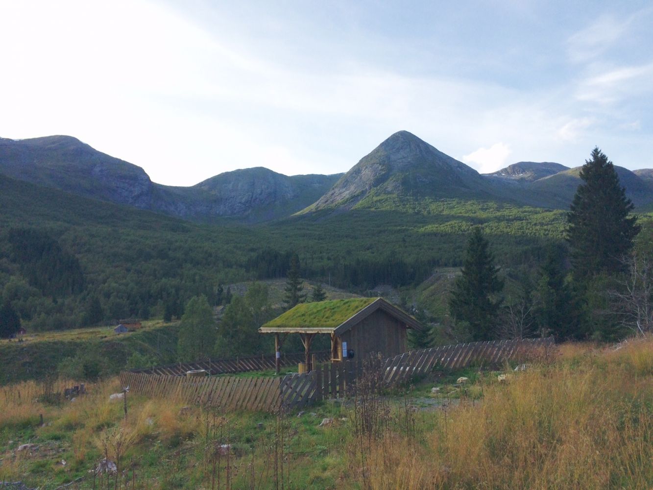
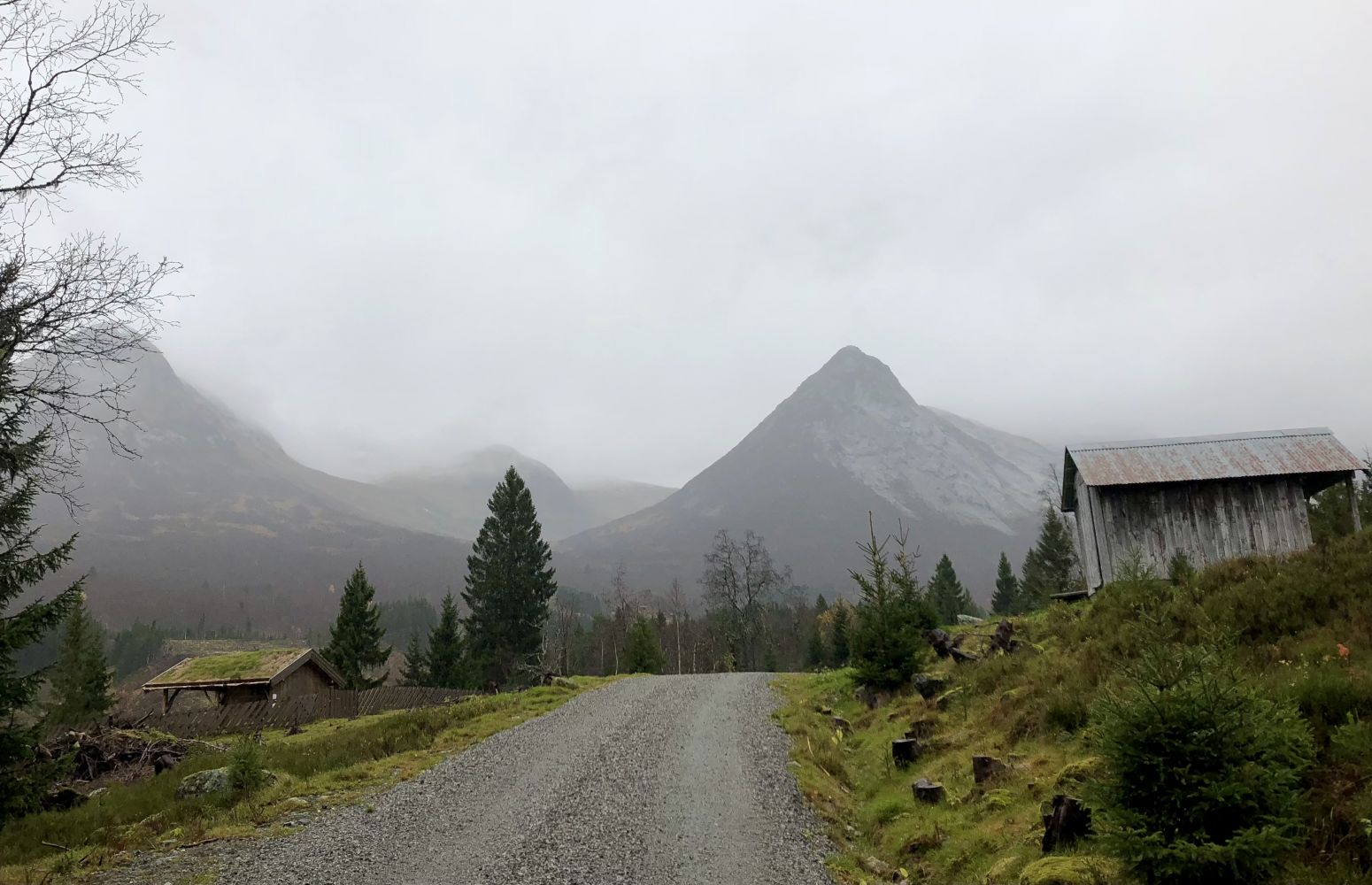
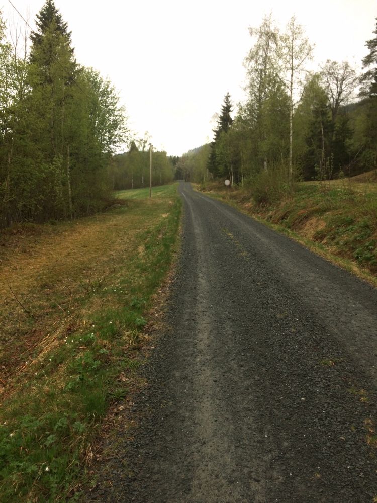
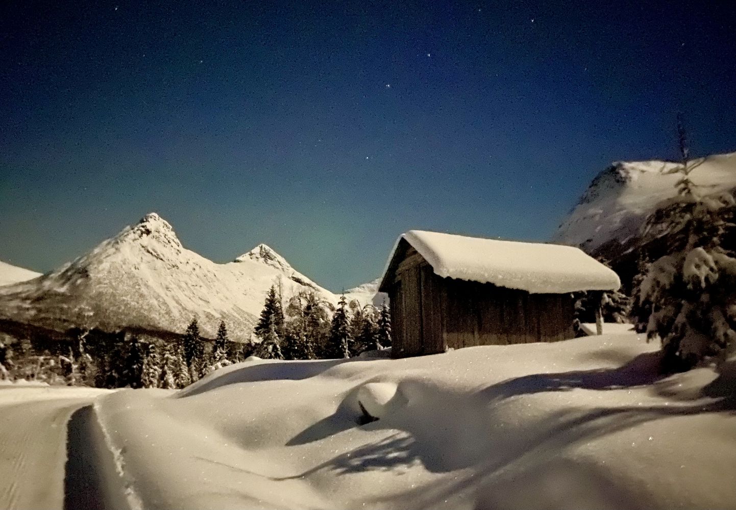
Omnossætra is a summer mountain farm in Valldalsbotn, a side valley of the Valldalen valley. It lies about seven kilometres away from the fjord. The Myklebustelva river with its mouth in Lake Brekkevatnet flows right through the middle of this long valley. The summer mountain farm lies at 300 metres above sea level on a western slope under Mount Gjerdsegga, on the eastern side of the river. Therse days, tehre is a motor road connecting Omnos with the summer farm. 1955 was the last year when the area was used as a summer pasture. The information is taken from the book “Til Seters” (“Off to Summer Pasture”) published by Valldal Bygdekvinnelag in 2012.You will see a former summer mountain farm with several old farmhouses and newer cabins on your way. There is a newly built trail shelter with a place for a fire which is open for everyone to visit. It is built by Lions Club Valldal. Once you reach Omnossætra, you can walk further to Lake Brekkevatnet, Høghaugen, Gjerdsegga and Gjerdsgrenda. A large wood-cutting area has provided for a great view towards Valldalsbotn and the two summer mountain farms Heimsetra and Hjellsetra on the other side of the river, as well as the view down along the valley.This is an easy trail that follows a gravel road.
Park your car next to the clubhouse of the Valldal Sports Association in Omenås. Follow the asphalt road towards the Omnosåsen housing estate for about 200 metres. As the asphalt road takes a turn, keep walking straight ahead onto a gravel road. Follow the gravel road for 1.7 km to Omnossetra that lies at about 200 altitude metres. You can get there by a toll road. Note: in summer 2018 there are farm animals grazing on the summer mountain farm, and the trail postbox is attached to the farm gates.
The trail starts from the clubhouse of the Valldal Sports Association in Omenås.
Park your car next to the clubhouse of the Valldal Sports Association in Omenås, Valldal. Free of charge.
Duration
1 t. 30 min.

Sesong
Spring, Summer, Autumn
| Surface type |
Distance |
| Asfalt |
0,2 |
| Grus |
1,7 |
Norddal municipality tourist map
 Driving directions
 Route data
GeoJSON