Øyrahornet from Tjørvåg
Herøy
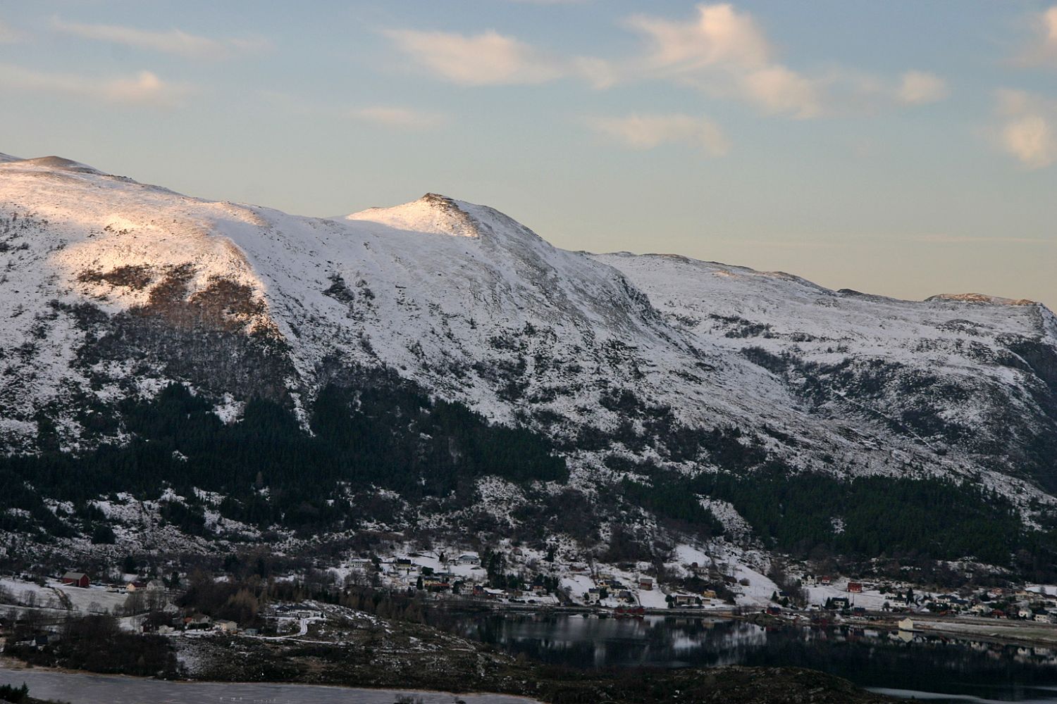
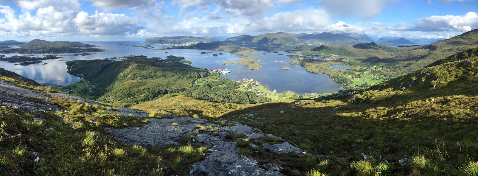
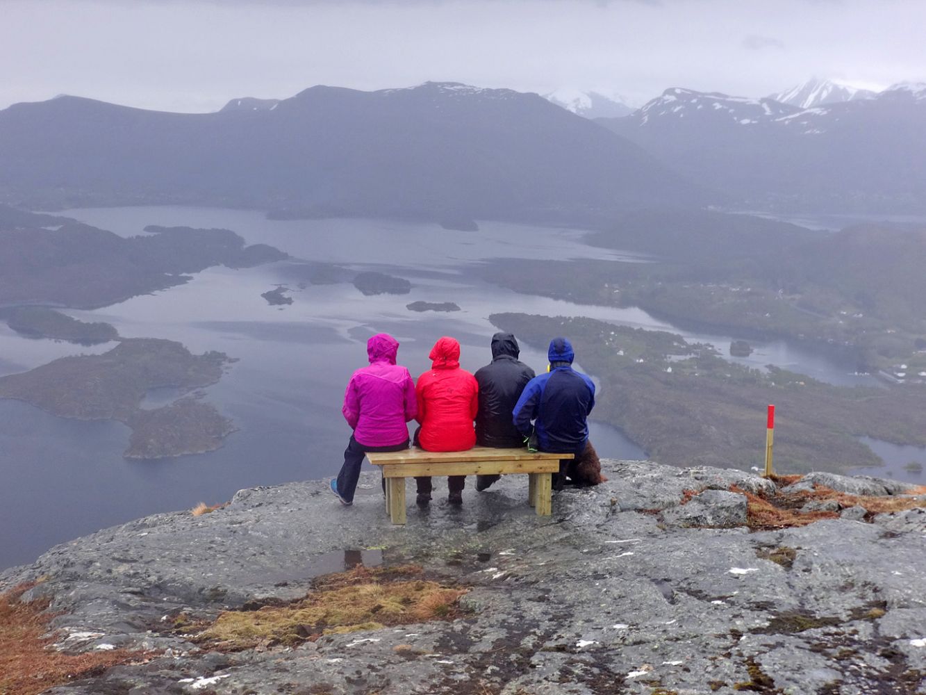
Øyrahornet (419 m a.s.l.) rises above Tjørvåg and offers a fantastic view. There is a bench just below the mountaintop – a perfect spot to rest and enjoy the view while having a snack.
The path from Tjørvåg is well marked and easy to follow. It might seem a little steep for some people. This is the only marked route to Øyrahornet, but once you reach the mountaintop, you can follow the ridge towards Slettheia and Selsteinen and return to Tjørvåg along the marked trail that runs from Storehanen and takes you over Sandvikhornet. A shorter option is to go west over the Øyradalen Valley and meet the route from Storehanen closer to Sandvikhornet.
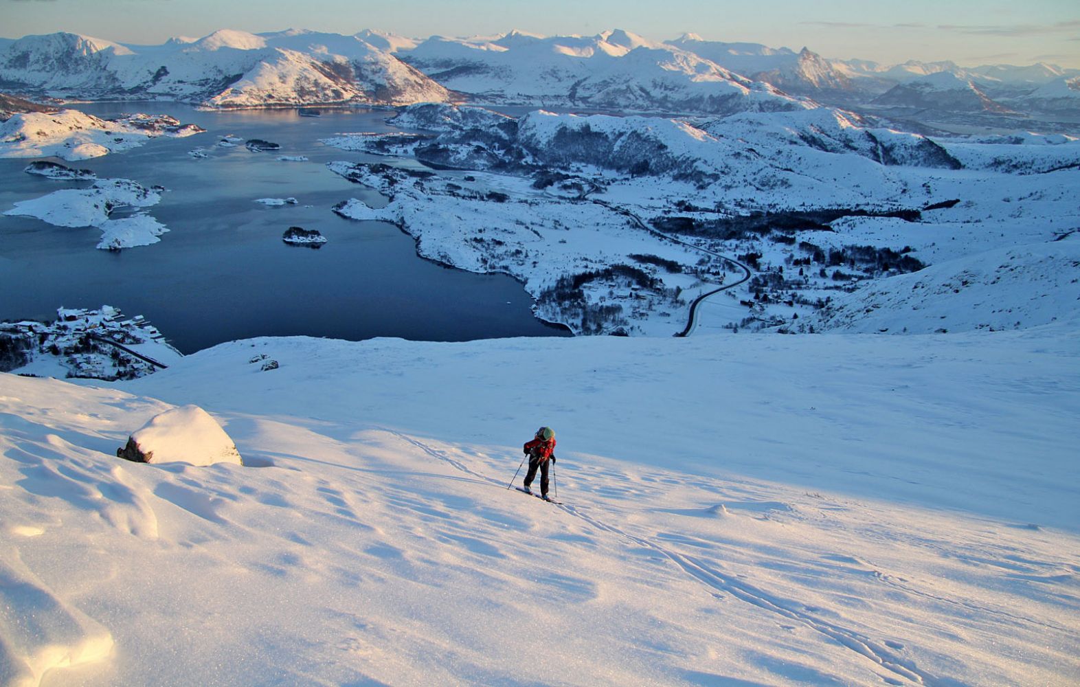
Øyrahornet is not particularly suited for skiing, especially not from Tjørvåg. But when there is enough snow in winter, this route also attracts those who like skiing down some steep slopes.
The entire route from Øyrahaugen is marked with sticks that have reflectors. The path runs along the Øyraelva River before it starts following the northeastern ridge by the old dam. Here, the path climbs up an area of bare rock and can be slippery after rain, in which case we recommend walking next to the rocks.
Park your car by the Coop shop in Tjørvåg. Follow the main road for 200 m south until you reach the exit road to Øyrahaugen. A sign for the hiking trail will be set up here in 2016. Turn right at the first junction and follow the road for 100 m up to the beginning of a tractor road. Follow the tractor road until it splits after a few metres. Turn right towards the river.
Coop Tjørvåg.

 Driving directions
 Route data